- Hereford, Arizona
-
Hereford, Arizona — Unincorporated community — Coordinates: 31°26′14.70″N 110°14′52.51″W / 31.437417°N 110.2479194°W Country United States State Arizona County Cochise Unincorporated 1895-1900 Elevation 4,193 ft (1,278 m) Population (2000) – Total 6,537 Time zone MST (no daylight saving time) (UTC-7) ZIP code 85615 Area code(s) 520 FIPS code 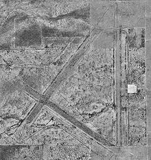 Hereford Army Airfield
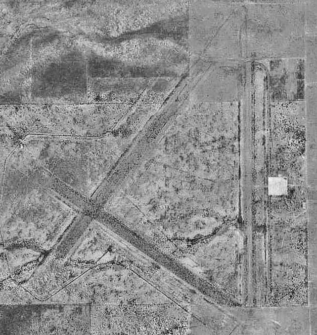
Hereford is an unincorporated community in Cochise County along the San Pedro Riparian National Conservation Area in the southern part of the U.S. state of Arizona. It is south of Sierra Vista and is a part of the Sierra Vista-Douglas micropolitan area. The elevation is 4,193 feet at the location of the original townsite at the far eastern end of the unincorporated area; the residential area runs for another 8 miles west from this location and rises to an elevation of approximately 4800' where the Post Office is located at the far western end, at the foot of the Huachuca Mountains.
The community was named after B.J. Hereford, who was a friend of the town's founder. It was where cowboys Frank McLaury and Tom McLaury first met and became associated with Ike Clanton, in 1878. The two brothers would later be killed during the Gunfight at the O.K. Corral, in Tombstone, Arizona, with Ike Clanton being at the center of that dispute with the Earp faction. The El Paso and Southwestern Railroad, a mining road originally built by Phelps Dodge Mining Corporation, established a siding at the town around 1892, which featured a water tank and stock loading platforms. This line continued on to the wye connection at Fairbank and the New Mexico and Arizona Railroad, and then on to Benson. Hereford was a common stop for travelers heading from Tombstone down the San Pedro River en route to Naco, Arizona and thence Mexico, approximately 14 miles away. The original townsite was populated until the 1950s, and the last structures disappeared in the early 1960s. Nothing remains of the original townsite except for a few concrete foundations and the ballasted rail bed, the rails and ties having been pulled in 2000.
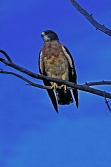 Swainson's Hawk photographed on Hereford Road in Hereford, Arizona
The area is known for its wildlife and outdoor activities. Hundreds of birds and butterflies migrate through this area year round. The Arizona Folklore Preserve and the Coronado National Memorial are located in Hereford. The Lehner Mammoth-Kill Site, a National Historic Landmark, is located nearby.
Hereford has the ZIP Code of 85615; in 2000, the population of the 85615 ZCTA was 6,537[1].
See also
References
External links
Municipalities and communities of Cochise County, Arizona Cities 
Town CDPs Unincorporated
communitiesBowie | Cochise | Dragoon | Elfrida | Hereford | McNeal | Pearce-Sunsites | Pomerene | Portal | San Simon
Ghost towns Cascabel | Charleston | Contention City | Fairbank | Gleeson | Paradise | Tres Alamos
Coordinates: 31°26′18″N 110°05′52″W / 31.43833°N 110.09778°W
Categories:- Unincorporated communities in Cochise County, Arizona
- Populated places in the San Pedro Valley
- Cochise County conflict
- Arizona geography stubs


Wikimedia Foundation. 2010.