- Potomac, Illinois
Geobox|Settlement
name = Potomac
native_name =
other_name =
category = Village
etymology =
official_name =
motto =
nickname =
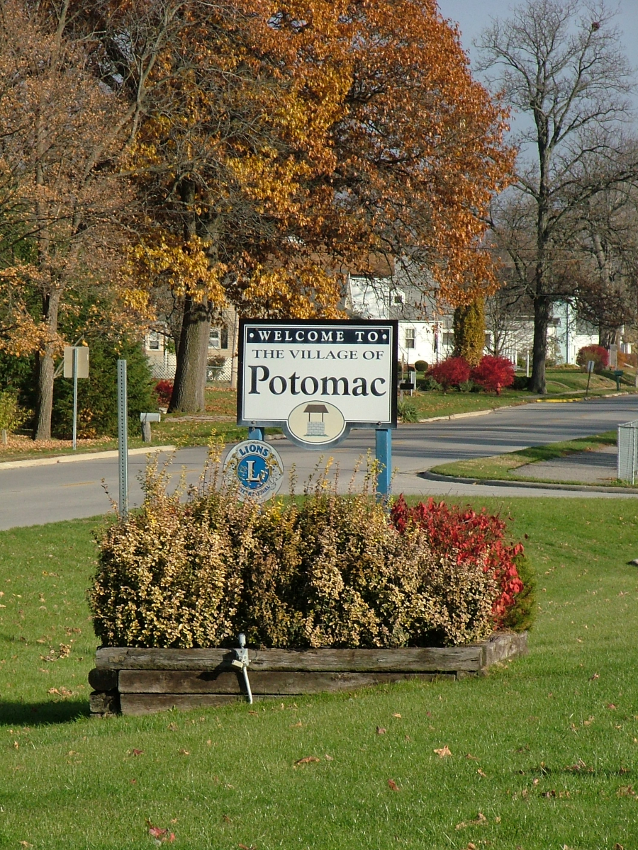
image_caption = Welcome signs in Potomac
symbol =
country = United States
state = Illinois
region_type = County
region = Vermilion
district_type = Township
district = Middlefork
municipality =
part =
landmark =
river =
location =
elevation_imperial = 669
elevation_imperial_note = cite web|url=Gnis3|416074|title=USGS detail on Potomac|accessdate=2007-10-10]
prominence_imperial =
lat_d = 40
lat_m = 18
lat_s = 23
lat_NS = N
long_d = 87
long_m = 48
long_s = 0
long_EW = W
highest =
highest_location =
highest_region =
highest_state =
highest_elevation_imperial =
highest_lat_d =
highest_lat_m =
highest_lat_s =
highest_lat_NS =
highest_long_d =
highest_long_m =
highest_long_s =
highest_long_EW =
lowest =
lowest_location =
lowest_region =
lowest_state =
lowest_elevation_imperial =
lowest_lat_d =
lowest_lat_m =
lowest_lat_s =
lowest_lat_NS =
lowest_long_d =
lowest_long_m =
lowest_long_s =
lowest_long_EW =
length_imperial =
length_orientation =
area_imperial = 0.5
area_land_imperial =
area_water_imperial =
area_urban_imperial =
area_metro_imperial =
population = 681
population_date = 2000
population_urban =
population_metro =
population_density_imperial = 572.9
population_density_urban_imperial =
population_density_metro_imperial =
established_type =
established =
established1_type =
established1 =
established2_type =
established2 =
date =
government =
government_location =
government_region =
government_state =
government_elevation_imperial =
government_lat_d =
government_lat_m =
government_lat_s =
government_lat_NS =
government_long_d =
government_long_m =
government_long_s =
government_long_EW =
mayor =
leader =
timezone = CST
utc_offset = -6
timezone_DST = CDT
utc_offset_DST = -5
postal_code = 61865
area_code = 217
code =
whs_name =
whs_year =
whs_number =
whs_region =
whs_criteria =
iucn_category =
free =
free_type =

map_caption = Location of Potomac within Illinois
map_background =
map_locator = Illinois
map1 = Map of USA IL.svg
map1_caption = Location of Illinois within the United States
commons =
statistics =
website =
footnotes =Potomac is a village in Vermilion County,
Illinois ,United States . It is part of the 'Danville, Illinois Metropolitan Statistical Area '. The population was 681 at the 2000 census.History
The town was originally named Marysville after the wives of the two founders, John Smith (a grocer) and Isaac Meneley (a blacksmith), who started businesses here in 1840. However, the Post Office found that mail was getting confused with mail for Myersville, ten miles to the east, and the name was changed to Potomac (although residents resented this and didn't accept the change for decades).
Potomac prospered into the late 20th century, with a population peaking at 900 during the 1970 census, due in part to its location along US Route 136, one of the primary East-West highways crossing the state of Illinois. The opening of the
Interstate Highway system reduced the amount of travel through Potomac, leading to a rapid decline in the number of service stations, restaurants and small businesses in the downtown area in the early 1970s. In the early 1990s a fire destroyed several downtown buildings on the north side of Route 136, dramatically altering the appearance of the community.Potomac is known for its Artesian wells, and its local High School teams were known as the "Potomac Artesians" until area secondary school consolidation in the late 1980s. One of these wells spouted an 8-inch stream of water 32 feet into the air until the 1930s. Presently 3 wells operate in open areas, one located in the downtown area, another on the Southeast edge of the community, and another in West Side Park, on the west edge of town area where Fourth of July celebrations were once held, locally referred to as "The Jubilee", in conjunction with an annual Horse Show.cite book
last = Stapp
first = Katherine
coauthors = W. I. Bowman
title = History Under Our Feet: The Story of Vermilion County, Illinois
publisher = Interstate Printers and Publishers, Inc.
year = 1968
location = Danville, Illinois
pages = p. 40]Geography
Potomac is located at coor dms|40|18|23|N|87|47|60|W|city (40.306351, -87.799987)GR|1, about 18 miles northwest of the county seat of Danville.
U.S. Route 136 passes east-west through town. The Middle Fork of the Vermilion River passes just south of the town.According to the
United States Census Bureau , the village has a total area of 0.5square mile s (1.2km² ), all of it land.Demographics
As of the
census GR|2 of 2000, there were 681 people, 252 households, and 191 families residing in the village. Thepopulation density was 1,408.5 people per square mile (547.8/km²). There were 277 housing units at an average density of 572.9/sq mi (222.8/km²). The racial makeup of the village was 97.21% White, 0.29% Native American, 0.29% Pacific Islander, 1.62% from other races, and 0.59% from two or more races. Hispanic or Latino of any race were 2.20% of the population.There were 252 households out of which 36.5% had children under the age of 18 living with them, 60.7% were married couples living together, 9.1% had a female householder with no husband present, and 24.2% were non-families. 21.0% of all households were made up of individuals and 13.1% had someone living alone who was 65 years of age or older. The average household size was 2.70 and the average family size was 3.11.
In the village the population was spread out with 28.8% under the age of 18, 6.9% from 18 to 24, 28.6% from 25 to 44, 21.6% from 45 to 64, and 14.1% who were 65 years of age or older. The median age was 35 years. For every 100 females there were 97.4 males. For every 100 females age 18 and over, there were 96.4 males.
The median income for a household in the village was $40,221, and the median income for a family was $44,583. Males had a median income of $32,031 versus $21,417 for females. The
per capita income for the village was $15,197. About 4.8% of families and 9.1% of the population were below thepoverty line , including 13.2% of those under age 18 and 15.3% of those age 65 or over.External links
*http://www.flickr.com/search/?q=potomac%2C+illinois&m=tags Images of Potomac, IL from 1900-1963]
*http://www.roe54.k12.il.us/schools.html#Potomac Potomac School District]References
Wikimedia Foundation. 2010.