- Kanpur Airport
-
Kanpur Airport 
कानपुर हवाई अड्डा
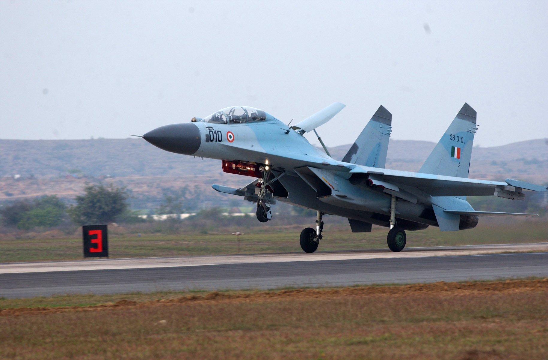
IAF Sukhoi Su-30 combat aircraft IATA: KNU – ICAO: VIKA Location of airport in India
 KNU
KNUSummary Airport type Partially Public Owner Indian Air Force Operator Airports Authority of India Serves Kanpur, Unnao, Etawah, Kanpur Dehat, Hamirpur & Fatehpur in Uttar Pradesh Location Kanpur, INDIA Elevation AMSL 410 ft / 124 m Coordinates 26°24′10″N 80°24′44″E / 26.40278°N 80.41222°E Runways Direction Length Surface ft m 09/27 (common use) 9,000 2,743 Concrete/Asphalt 01/19 (not for civil use) Kanpur Airport (IATA: KNU, ICAO: VIKA) is an airport that was originally designated for the Indian Air Force. In the 1970s, flights operated from this airport regularly to Delhi, Ahmedabad, Allahabad, Kolkata, Banglore, Chennai, Pune and Mumbai. For a long time, passengers of Kanpur, Unnao and Fatehpur have had to travel about 80 kilometers (50 mi) northwards to Amausi Airport in Lucknow, a 2–3 hours drive, for taking a flight to New Delhi, Mumbai or overseas. The Civil Air Terminal of Kanpur Airport was re-opened in December 2004 and since then regular flights are operational on this airport.
Contents
Airlines and destinations
Airlines Destinations Air India Regional Delhi, Kolkata Incidents and accidents
Kanpur has the distinction of having 3 airstrips located respectively at the Chakeri Airport (having 9,000 ft (2,700 m) runway), Civil Airport located at Kanpur Cantt., and the IIT Airstrip located at IIT Kanpur.
On Wednesday 20th July 2011,The AI flight 9801 was headed from Delhi to Kolkata via Kanpur had 59 passengers on board. The plane, after it touched ground, did not stop within the safe distance and overshot into the slush at the end of the runway.As per reports, the plane, a 70 Seater CRJ-700, had a rough landing even though the weather was clear, with a visibility of 2000 meters.
Author Chetan Bhagat, who was on the flight, tweeted, "Emergency landing as plane skidded off runway into wet mud. Lucky save. Evacuations on now." Mr Bhagat also said, "The plane wheels are barely visible, dug deep into mud. Everyone's out now. Rattled but safe."
References
External links
Kanpur topics History History of Kanpur · Siege of Cawnpore · Second Battle of Cawnpore · Rebellion of 1857 · War of Indian Independence of 1857 · Development of Industries · Cultural History · Kanpur Bolshevik Conspiracy Case · Kanpur Conspiracy Case
Places of worship
and tourist spotsAnandeshwar Temple · J. K. Temple · Sai Darbar · Panki Hanuman Mandir · Jain Glass Temple · Kherepati Temple · Bhitargaon Temple · Bara-Devi Mandir · Kanpur Memorial Church · Allen Forest Zoo · Moti Jheel · Bithoor · Jajmau · Nawabganj Bird Sanctuary · Kanpur Sangrahalaya · Ganga Barrage · Z Square Mall · Rave 3Ghats Public parks Phool Bagh · Nana Rao ParkCompanies Artificial Limbs Manufacturing Corporation of India · British India Corporation · Rupani Footwear · Dainik Jagran · Inext · Lohia Machinery Limited · Panki Thermal Power StationEducation Universities Medical colleges Ganesh Shankar Vidyarthi Memorial Medical College, Pt. Jawahar Lal Nehru State Homoeopathic Medical CollegeTechnological institutes Private technological
institutesPranveer Singh Institute of Technology · Maharana Pratap Engineering College · Kanpur Institute of Technology · List of engineering colleges in KanpurLocalities North West Kanpur Central Kanpur Kakadeo · Geeta Nagar · Pandu Nagar · Sarvodya Nagar · Sharda Nagar · Shastri NagarEast Kanpur Jajmau · Lal BanglaWest Kanpur South Kanpur Unsorted Bithoor · Armapur Estate · Chakeri · Shyam Nagar · Cantt · Jaurali · Tatya Tope Nagar · Hanspuram · Keshavpuram · Ravidas Puram Shivaji NagarLeft Bank Shuklaganj · Gangotri TownshipHotels Hotel Landmark · Hotel Megadoot · Hotel Gaurav · Hotel Bliss · Kanha Continental · Kanha International
Economy and transport UP Stock Exchange · Kanpur Electricity Supply Company Ltd.(KESCo) · Auto rickshaw · Kanpur Metropolitan Bus Service · Kanpur Airport · IIT Kanpur Airport · Kanpur Civil Airport · Kanpur Central · Kanpur Anwarganj · Govindpuri · Kalianpur · Kanpur Metro · Trams · Lucknow-Kanpur Suburban Railway · Kanpur Lucknow Roadways Service · Kanpur over-bridge
Sports Other topics Eminent people associated with Kanpur · Kanpur (Lok Sabha constituency) · List of cities in India · Category:People from Kanpur · Renamed places in Kanpur · Lajpat Bhawan
Kanpur division topics General - Doab
- Dainik Jagaran
- National Chambal Sanctuary
- Lakh Bahosi Sanctuary
Mythology, history Districts - Auraiya
- Etawah
- Farrukhabad
- Kannauj
- Kanpur
- Ramabai Nagar
Rivers, dams, lakes - Chambal
- Ganges
- Kali
- Ramganga
- Sindh
- Yamuna
- Ganges Barrage
- Moti Jheel
Languages, people - Awadhi
- Braj Bhasa
- Hindi
- Hindi-Urdu
- Kannauji
- Khariboli
- Standard Hindi
- Urdu
Transport - NH 2
- Grand Trunk Road
- NH 26
- NH 86
- NH 96
- Kanpur Airport
- IIT Kanpur Airport
- Kanpur Civil Airport
- Kanpur Central
- Kanpur Anwarganj
- Howrah-Delhi main line
- Lucknow-Kanpur Suburban Railway
- Kanpur Metro
- Kanpur Metropolitan Bus Service
Industries - Panki Thermal Power Station
- Lohia Machinery Limited
- Artificial Limbs Manufacturing Corporation of India
- British India Corporation
- Rupani Footwear
Institutes of higher learning - Indian Institute of Technology Kanpur
- Chhatrapati Sahu Ji Maharaj University
- Chandra Shekhar Azad University of Agriculture & Technology
- Harcourt Butler Technological Institute
- Uttar Pradesh Textile Technology Institute
- University Institute of Engineering and Technology, Kanpur University
- List of engineering colleges in Kanpur
- Ganesh Shankar Vidyarthi Memorial Medical College
Lok Sabha constituencies See also - Cities and towns in Auraiya district
- Cities and towns in Etawah district
- Cities and towns in Farrukhabad district
- Cities and towns in Kannauj district
- Cities and towns in Kanpur district
- Cities and towns in Ramabai Nagar district
- Villages in Auraiya district
- Villages in Etawah district
- Villages in Farrukhabad district
- Villages in Kannauj district
- Villages in Kanpur district
- Villages in Kanpur Dehat district
- People from Etawah
- People from Farrukhabad
- People from Kanpur
- People from Kanpur Dehat
- Kanpur topics
Other Divisions - Agra
- Aligarh
- Allahabad
- Azamgarh
- Bareilly
- Basti
- Chitrakoot
- Devipatan
- Faizabad
- Gorakhpur
- Jhansi
- Lucknow
- Meerut
- Mirzapur
- Moradabad
- Saharanpur
- Varanasi
Categories:- Indian Air Force bases
- Kanpur
- Transport in Kanpur
- Airports in Uttar Pradesh


Wikimedia Foundation. 2010.