- Chisana, Alaska
-
Chisana
Tsetsaan’ Na’— CDP — Chisana's post office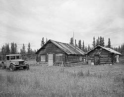 Location within the state of Alaska
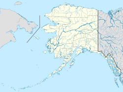
 Chisana
Coordinates: 62°4′16″N 141°59′36″W / 62.07111°N 141.99333°WCoordinates: 62°4′16″N 141°59′36″W / 62.07111°N 141.99333°W Country United States State Alaska Census Area Valdez-Cordova Area - Total 86.7 sq mi (224.7 km2) - Land 86.7 sq mi (224.4 km2) - Water 0.1 sq mi (0.2 km2) Elevation 3,369 ft (1,027 m) Population (2010) - Total 0 Time zone Alaska (AKST) (UTC-9) - Summer (DST) AKDT (UTC-8) Area code(s) 907 FIPS code 02-13890 GNIS feature ID 1400321 Chisana Historic District

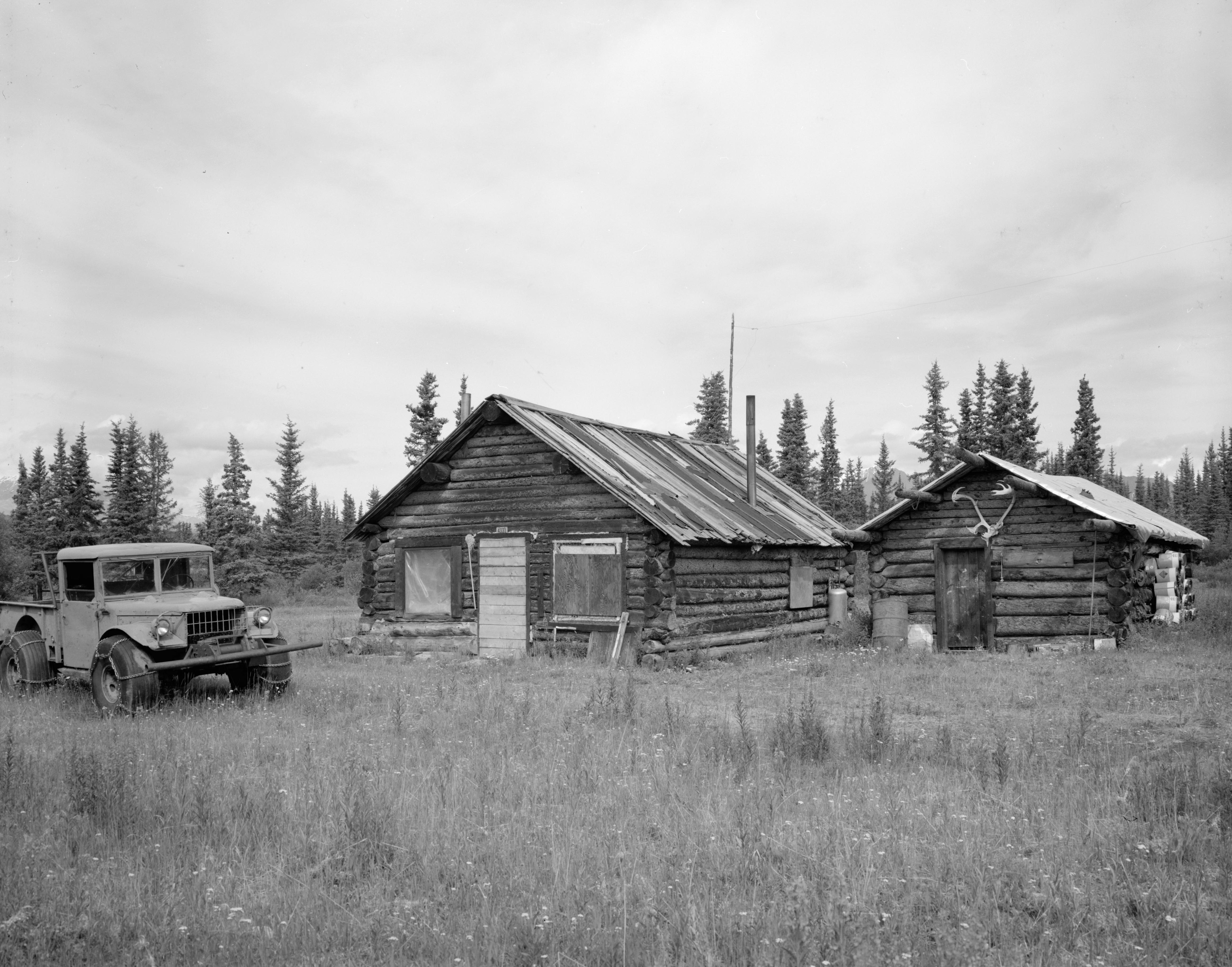
Location: Extending west ¼ mile from the southeastern end of Chisana Airstrip and parallel to Johnson Creek Coordinates: 62°3′57″N 142°2′34″W / 62.06583°N 142.04278°W Built: 1913 Architect: Multiple Architectural style: Log Cabin Governing body: National Park Service NRHP Reference#: 85002999[1] Added to NRHP: November 29, 1985 Chisana (also Shushanna) (Tsetsaan’ Na’ in Ahtna) is a census-designated place (CDP) in the Valdez-Cordova Census Area in the U.S. state of Alaska. As of the 2010 Census[2], the population of the CDP was 0. The English name Chisana derives from the Ahtna Athabascan name Tsetsaan' Na', meaning literally 'copper river' (not to be confused with the river known in English as the Copper River).
In 1985, the community was listed on the National Register of Historic Places as a historic district, the Chisana Historic District.[1]
Geography
Chisana is located at 62°4′16″N 141°59′36″W / 62.07111°N 141.99333°W (62.070992, -141.993271)[3].
According to the United States Census Bureau, the CDP has a total area of 86.7 square miles (225 km2), of which 86.7 square miles (225 km2) of it is land and 0.1 square miles (0.26 km2) of it is water. The total area is 0.10% water. Chisana is the highest community in Alaska at 3,318 feet (1,011.3 meters) above sea level.[4]
References
- ^ a b "National Register Information System". National Register of Historic Places. National Park Service. 2009-03-13. http://nrhp.focus.nps.gov/natreg/docs/All_Data.html.
- ^ "American FactFinder". United States Census Bureau. http://factfinder.census.gov. Retrieved 2008-01-31.
- ^ "US Gazetteer files: 2010, 2000, and 1990". United States Census Bureau. 2011-02-12. http://www.census.gov/geo/www/gazetteer/gazette.html. Retrieved 2011-04-23.
- ^ Alaska Cities by Highest Elevation. Retrieved 2011-06-24.
External links
- Chisana Airport
- Alaska Division of Community Advocacy - Community Information Summary
- Alaska Division of Community Advocacy - Community Photos
Municipalities and communities of Valdez-Cordova Census Area, Alaska Cities 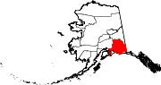
CDPs Chenega | Chisana | Chistochina | Chitina | Copper Center | Copperville | Gakona | Glennallen | Gulkana | Kenny Lake | McCarthy | Mendeltna | Mentasta Lake | Nelchina | Paxson | Silver Springs | Slana | Tatitlek | Tazlina | Tolsona | Tonsina | Willow Creek
Unincorporated
communitiesCategories:- Historic districts in Alaska
- Census-designated places in Alaska
- Ghost towns in Alaska
- Populated places in Valdez–Cordova Census Area, Alaska
- National Register of Historic Places in Alaska


Wikimedia Foundation. 2010.