- Dalsnibba
-
Dalsnibba 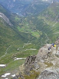
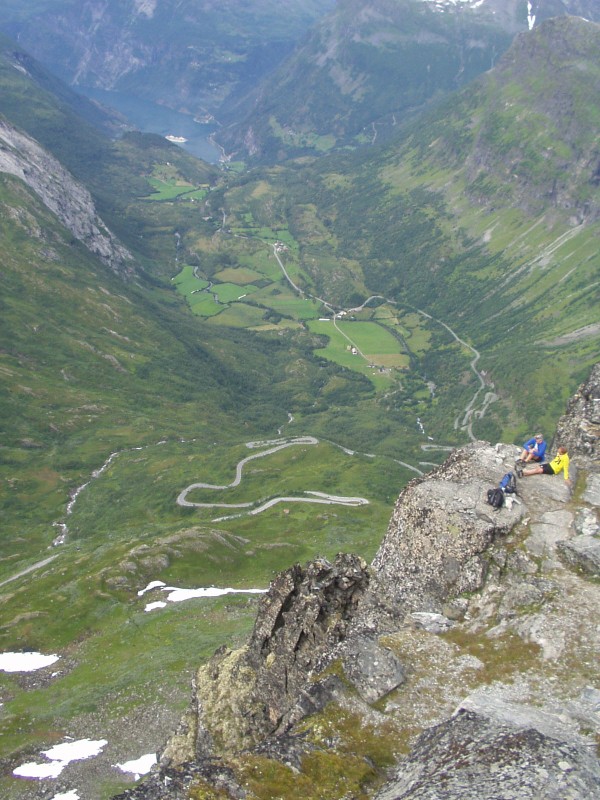
View of Geiranger from DalsnibbaElevation 1,476 m (4,843 ft) Prominence 166 m (545 ft) Location Stranda, Møre og Romsdal,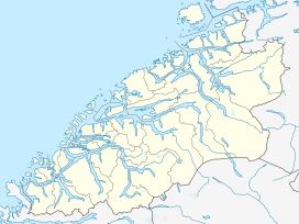
 Dalsnibba
 Norway
Coordinates 62°02′55″N 07°16′09″E / 62.04861°N 7.26917°ECoordinates: 62°02′55″N 07°16′09″E / 62.04861°N 7.26917°E Topo map 1219 II Geiranger and 1418 IV Lodalskåpa Dalsnibba is a mountain in the municipality of Stranda in Møre og Romsdal county, Norway. It is located at the end of the Geiranger valley, about 7 kilometres (4.3 mi) south of the village of Geiranger and the Geirangerfjord. The 2-square-kilometre (0.77 sq mi) lake Djupvatnet lies directly to the southeast of the mountain.
Dalsnibba offers a very good view and is therefore a very popular tourist destination. Dalsnibba is often covered by snow even in the summer. The Norwegian national road 63 passes along the south side of the mountain, and from that road, there is a private toll road that goes up to the summit of Dalsnibba.[1]
The Geiranger – From Fjord to Summit running and cycling race begins in Geiranger and ends on top of Dalsnibba.
References
- ^ Store norske leksikon. "Dalsnibba" (in Norwegian). http://www.snl.no/Dalsnibba. Retrieved 2010-10-09.
Categories:- Møre og Romsdal geography stubs
- Stranda
- Mountains of Møre og Romsdal

Wikimedia Foundation. 2010.