- Djupvatnet
-
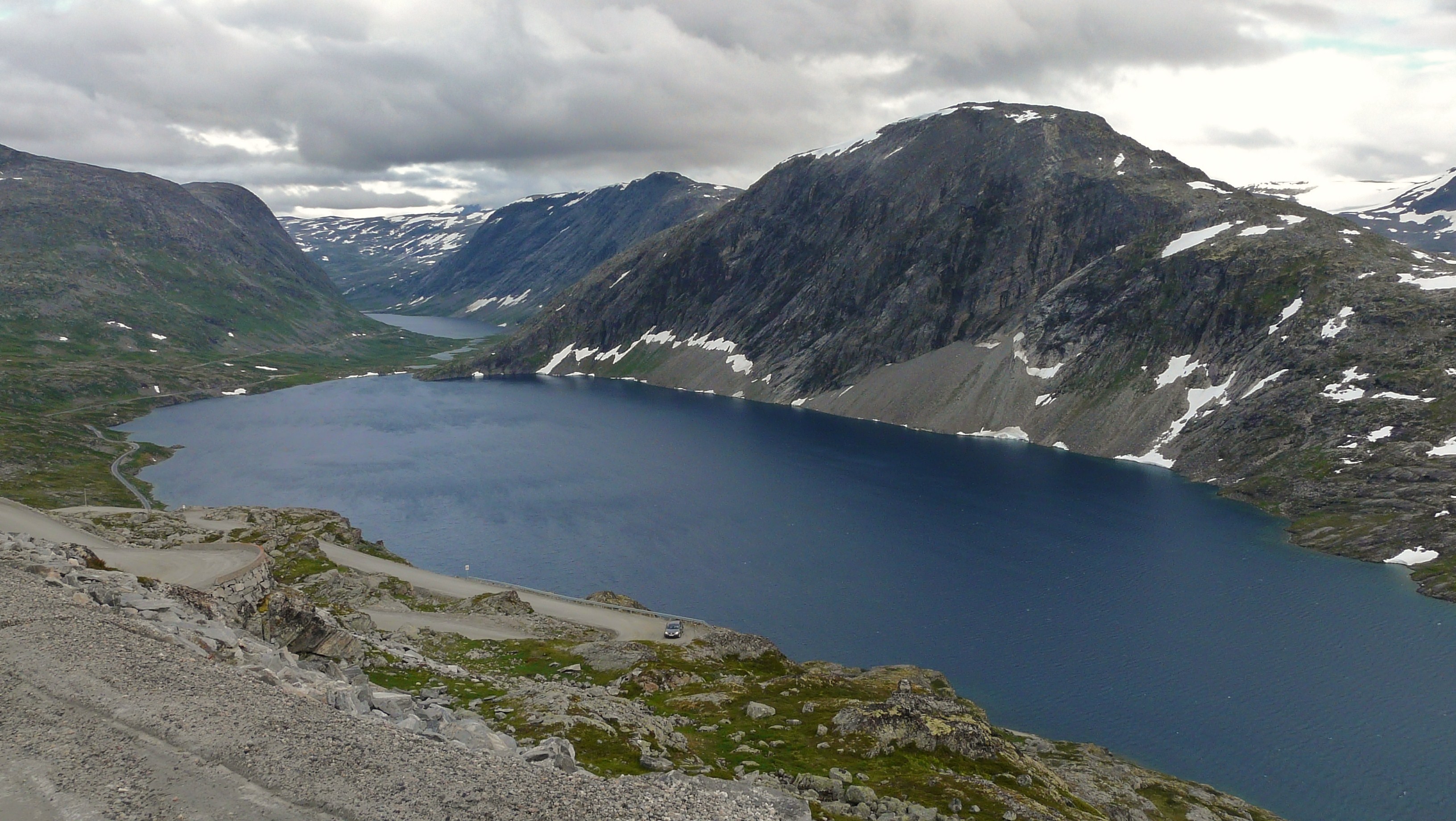
Djupvatnet 
View of Djupvatnet Location Stranda, Møre og Romsdal, Norway Coordinates 62°01′26″N 07°18′17″E / 62.02389°N 7.30472°ECoordinates: 62°01′26″N 07°18′17″E / 62.02389°N 7.30472°E Catchment area Otta Basin countries Norway Max. length 2.4 km (1.5 mi) Max. width 1.1 km (0.68 mi) Surface area 2 km2 (0.77 sq mi) Surface elevation 1,016 m (3,333 ft) Djupvatnet is a lake in the southern part of the municipality of Stranda in Møre og Romsdal county, Norway. The 2-square-kilometre (0.77 sq mi) lake lies at 1,016 metres (3,333 ft) above sea level. The lake is part of the headwaters of the Otta river system which flows southeast into the lake Breiddalsvatnet and on into Oppland county.
The Norwegian national road 63 follows the northern shore of the lake. The tourist village of Geiranger and the Geirangerfjord are located about 12 kilometres (7.5 mi) to the north of the lake. The mountain Dalsnibba is located immediately northwest of the lake, and there is a road leading to the top that begins on the northwest side of the lake.[1]
References
- ^ Store norske leksikon. "Djupvatnet" (in Norwegian). http://www.snl.no/Djupvatnet. Retrieved 2010-10-09.
Categories:- Møre og Romsdal geography stubs
- Stranda
- Lakes of Møre og Romsdal
Wikimedia Foundation. 2010.