- Ohio State Route 203
-
State Route 203
Route information Maintained by ODOT Length: 22.10 mi[3][4] (35.57 km) Existed: 1923[1][2] – present Major junctions South end:  SR 37 near Delaware
North end:  SR 309 near Marion
Location Counties: Delaware, Marion Highway system Ohio highways
Interstates • U.S. Routes • State Routes←  SR 202
SR 204  →
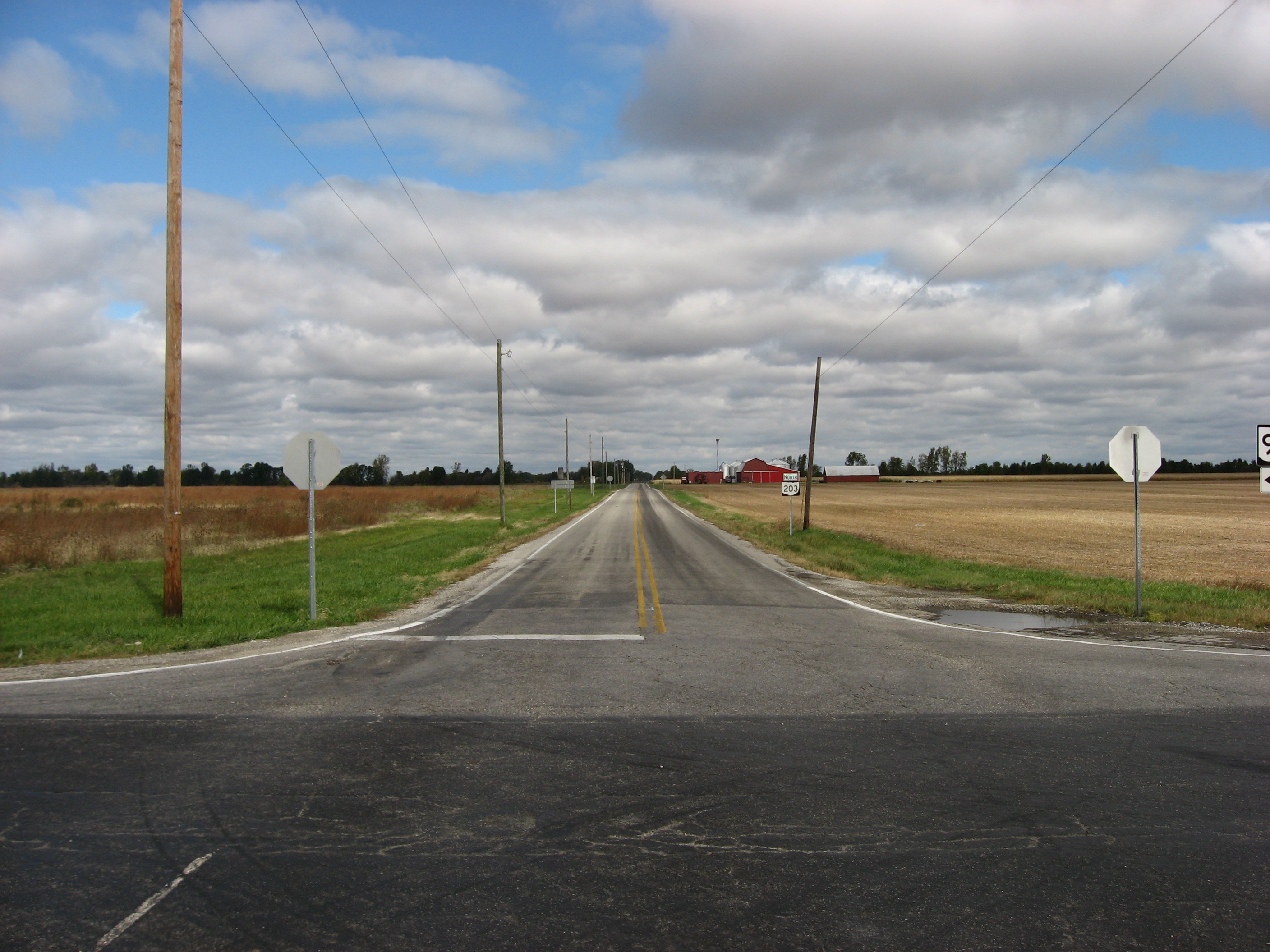
→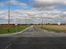 SR 203 in rural western Marion County, looking south from the SR 95 intersection
State Route 203 (SR 203, OH 203) is a 22.14-mile (35.63 km) long north–south state highway in the central portion of the U.S. state of Ohio. The southern terminus of SR 203 is at a four-way stop intersection with SR 37 just 0.50 miles (0.80 km) northwest of the city limits of Delaware. Its northern terminus is at SR 309 approximately 4 miles (6.4 km) northwest of Marion.
Contents
Route description
SR 203 traverses the northwestern portion of Delaware County and the southern half of Marion County. There are no segments of SR 203 that are included wihtin the National Highway System (NHS), a network of highways deemed to be most important for the economy, mobility and defense of the country.[5]
History
SR 203 was established in 1923. The highway was originally routed along its current alignment between its present southern terminus, at the time designated as SR 47, and its junction with what is now SR 739, but in 1923 known as SR 38.[1][2] In 1938, SR 203 was extended north to its present terminus at what is now SR 309, but at the time a part of the now-defunct U.S. Route 30S (US 30S).[6][7]
Major intersections
County Location Mile[3][4] Destinations Notes Delaware Radnor Township 0.00 SR 37Southern terminus at four-way stop intersection with flashing beacon Marion Prospect 9.88  SR 47
SR 47Signalized intersection Pleasant Township 12.34  SR 4
SR 4Green Camp Township 16.84  SR 739
Big Island Township 22.10 SR 309Northern terminus 1.000 mi = 1.609 km; 1.000 km = 0.621 mi References
- ^ a b Ohio Department of Highways and Public Works (April 1922) (MrSID). Map of Ohio State Highways (Map). Cartography by ODHPW. http://www.dot.state.oh.us/Divisions/TransSysDev/Innovation/prod_services/Documents/StateMaps/otm1922a.sid. Retrieved 2011-08-11.
- ^ a b Ohio Department of Highways and Public Works (July 1923) (MrSID). Map of Ohio Showing State Routes (Map). Cartography by ODHPW. http://www.dot.state.oh.us/Divisions/TransSysDev/Innovation/prod_services/Documents/StateMaps/otm1923a.sid. Retrieved 2011-08-11.
- ^ a b Ohio Department of Transportation. "Technical Services Straight Line Diagrams: SR 203, Delaware County". http://www.odotonline.org/techservapps/SLD/pdf_files/delsr0203r.pdf. Retrieved 2011-08-11.
- ^ a b Ohio Department of Transportation. "Technical Services Straight Line Diagrams: SR 203, Delaware County". http://www.odotonline.org/techservapps/SLD/pdf_files/marsr0203r.pdf. Retrieved 2011-08-11.
- ^ Federal Highway Administration (December 2003) (PDF). National Highway System: Ohio (Map). http://www.fhwa.dot.gov/planning/nhs/maps/oh/oh_Ohio.pdf. Retrieved 2011-08-11.
- ^ Ohio Department of Highways (1937) (MrSID). Official Ohio Highway Map (Map). Cartography by ODOH. http://www.dot.state.oh.us/Divisions/TransSysDev/Innovation/prod_services/Documents/StateMaps/otm1937a.sid. Retrieved 2011-08-11.
- ^ Ohio Department of Highways (1938) (MrSID). Official Ohio Highway Map (Map). Cartography by ODOH. http://www.dot.state.oh.us/Divisions/TransSysDev/Innovation/prod_services/Documents/StateMaps/otm1938a.sid. Retrieved 2011-08-11.
Categories:- State highways in Ohio
- Transportation in Delaware County, Ohio
- Transportation in Marion County, Ohio

Wikimedia Foundation. 2010.