- Miranjani
-
Miranjani 
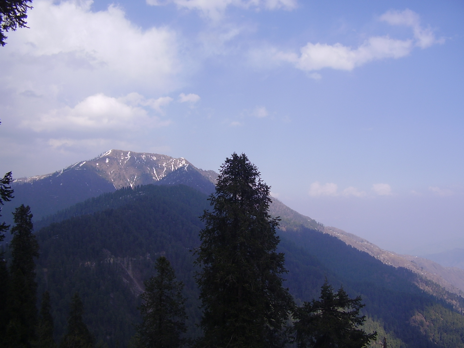
Miranjani from NathiagaliElevation 2,980 m (9,777 ft) Location Location Abbottabad District, Pakistan Range Himalayas Coordinates 34°06′30″N 73°24′20″E / 34.10833°N 73.40556°E[1] Climbing Easiest route Hiking trails Miranjani is the highest peak, at 2,960 metres (9,710 ft) in elevation, of Abbottabad District in the Khyber Pakhtunkhwa Province of Pakistan. It is located in the Namli Maira area, in Ayubia National Park, 80 kilometres (50 mi) north of Islamabad in the western Himalayan range.
Miranjani is clad in Western Himalayan subalpine conifer forests, with Pine, Walnut, Oak, and Maple trees and shrubs and herbs.
Contents
Hiking
Miranjani is an attraction for hikers. From Nathia Gali it takes four hours to reach the peak via a steep track. Anther route starts from the Governor’s House. From Miranjani one take many short strolls through the pine forests in Ayubia National Park.
The peak's top offers spectacular views. Places easily seen include: Azad Kashmir, Jhelum River (Kohala), Tarbela lake, Abbottabad city, Havelian, and Thandiani. On a clear day the 'treacherous' mountain Nanga Parbat can be seen 400 kilometres (250 mi) away.
See also
- Galyat - of Pakistan
- List of mountains in Pakistan
References
External links
Gallery
-
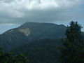
Miranjani mountain
-
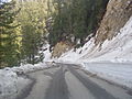
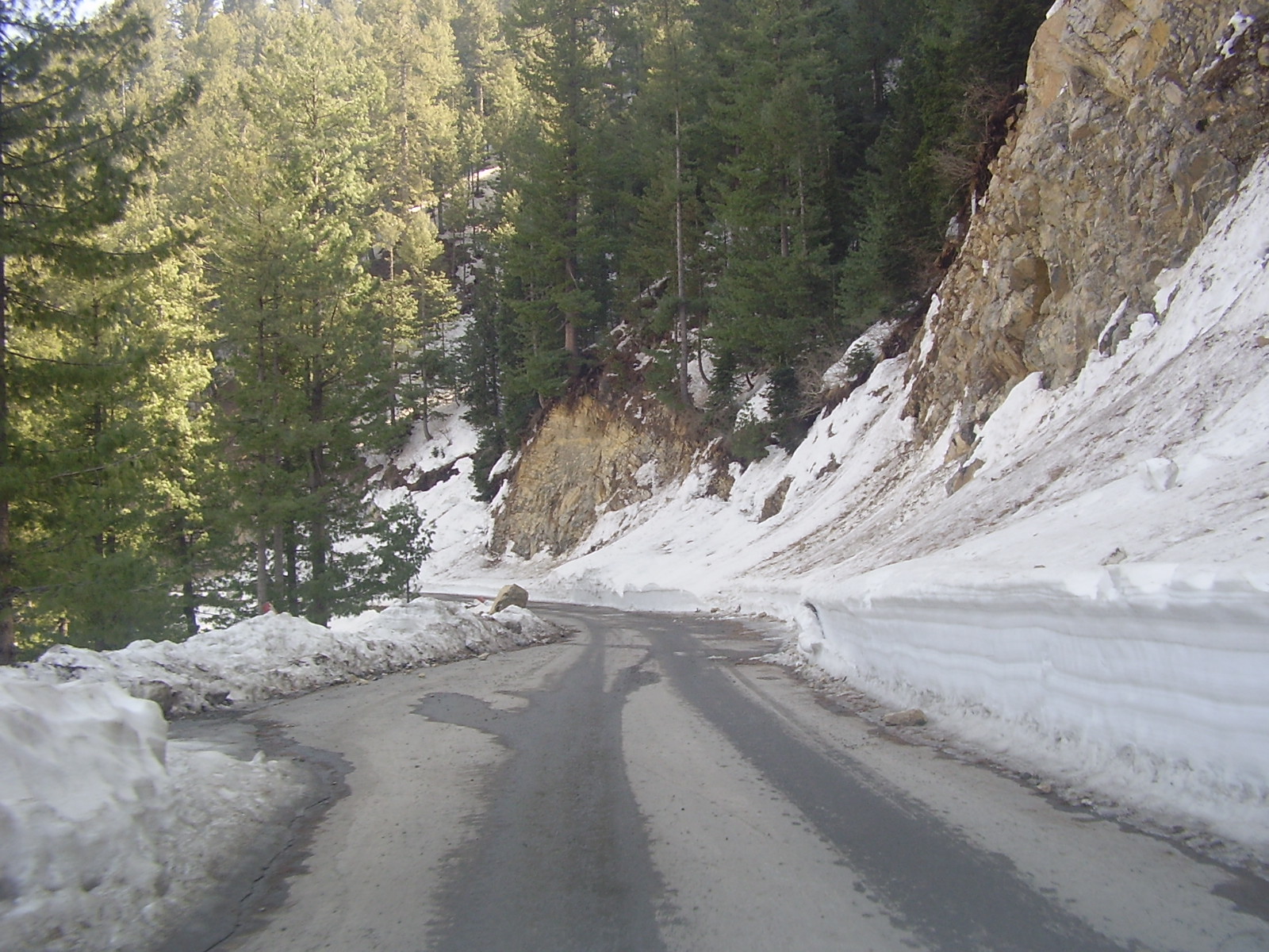
Road to Nathiagali and Ayubia National Park.
Coordinates: 34°06′30″N 73°24′20″E / 34.10833°N 73.40556°E
Categories:- Mountains of Pakistan
- Abbottabad District
- Geography of Khyber Pakhtunkhwa
- Khyber Pakhtunkhwa geography stubs

Wikimedia Foundation. 2010.