- Ohio State Route 38
-
State Route 38
Route information Maintained by ODOT Length: 53.15 mi[1] (85.54 km) Existed: 1924 – present Major junctions South end: 
 US 62/SR 3 in Washington Court House
 I-71 near South Solon
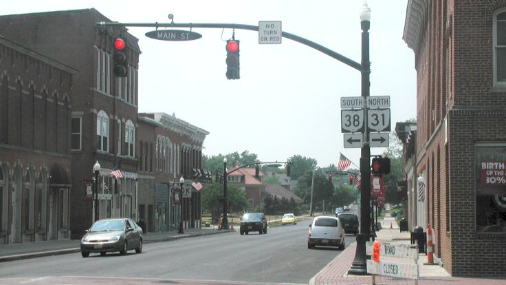
North end:  SR 31 in Marysville
Location Counties: Fayette, Madison, Union Highway system Ohio highways
Interstates • U.S. Routes • State Routes←  SR 37
SR 37SR 39  →
→ Northern terminus in Marysville
State Route 38 is a southwest-northeast state highway in the state of Ohio. Its southern terminus is in Washington Court House at the U.S. Route 62 / State Route 3 concurrency and its northern terminus is in Marysville at State Route 31.
On its winding route through central Ohio, State Route 38 mainly offers views of rolling or flat farmland planted with corn, soybeans, and other crops. It also passes through a variety of towns including Washington Court House, London, and Marysville, the county seats of all three counties through which it travels.
References
Categories:- State highways in Ohio
- Transportation in Fayette County, Ohio
- Transportation in Madison County, Ohio
- Transportation in Union County, Ohio
- Ohio road stubs

Wikimedia Foundation. 2010.