- McDougall, Ontario
-
- For the community in Renfrew County, Ontario, see Admaston/Bromley
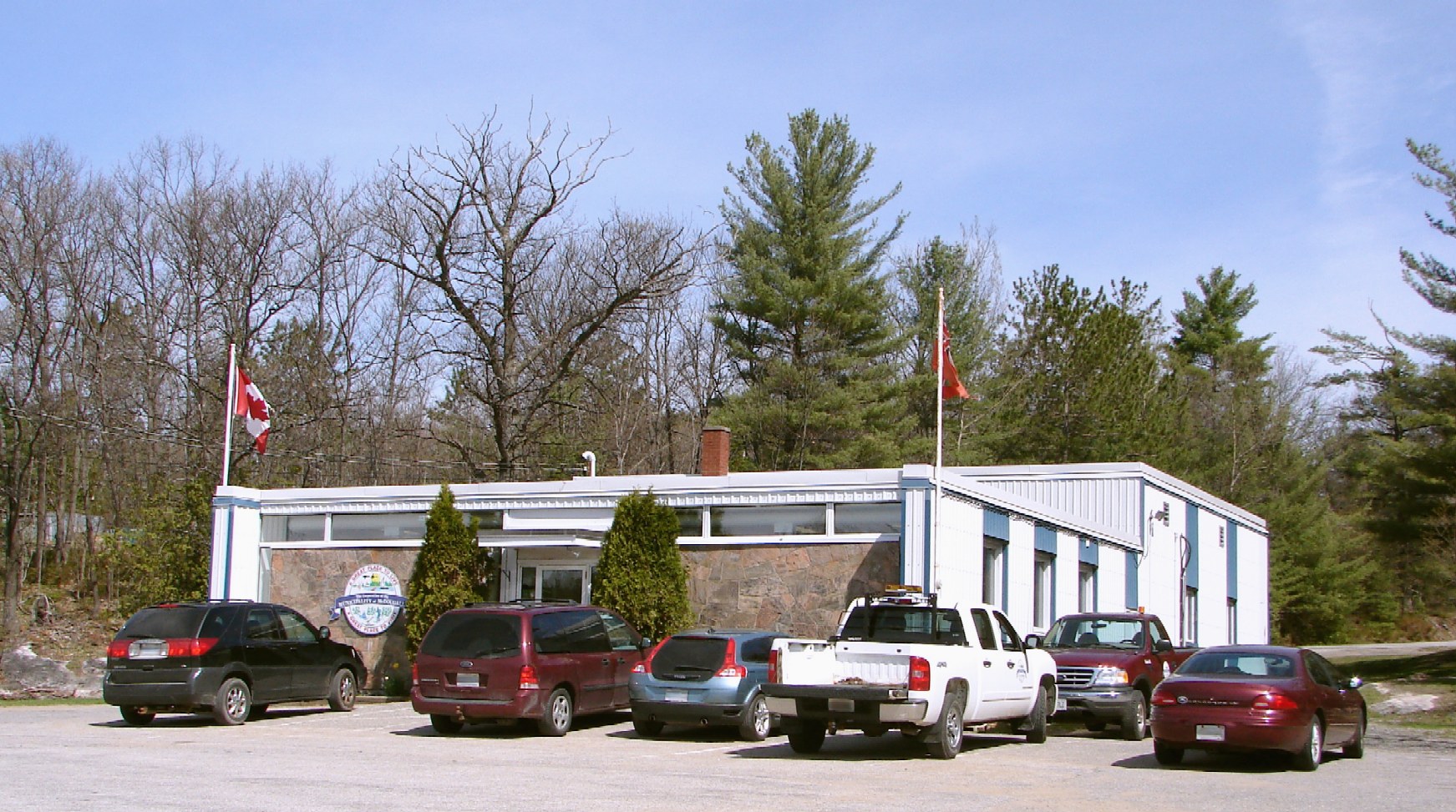
McDougall — Township — Municipality of McDougall Municipal office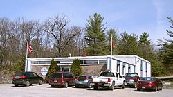
Motto: A Great Place To Live, A Great Place To Visit 
 McDougall
Coordinates: 45°27′N 80°01′W / 45.45°N 80.017°WCoordinates: 45°27′N 80°01′W / 45.45°N 80.017°W Country  Canada
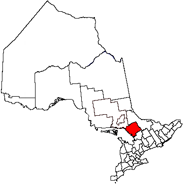
Province  Ontario
District Parry Sound Settled Incorporated May 1, 1872 Government - Type Township - Mayor Dale Robinson - Federal riding Parry Sound—Muskoka - Prov. riding Parry Sound—Muskoka Area[1] - Land 262.69 km2 (101.4 sq mi) Population (2006)[1] - Total 2,704 - Density 10.3/km2 (26.7/sq mi) Time zone EST (UTC-5) - Summer (DST) EDT (UTC-4) Postal Code Area code(s) 705 Website www.municipalityofmcdougall
.comMcDougall is a township in central Ontario, Canada, on the Parry Sound in the District of Parry Sound. It was named after William McDougall, one of the Fathers of Confederation.
In 2000, the Township of McDougall amalgamated with the unorganized geographic township of Ferguson, and created the Municipality of McDougall.
Contents
Communities
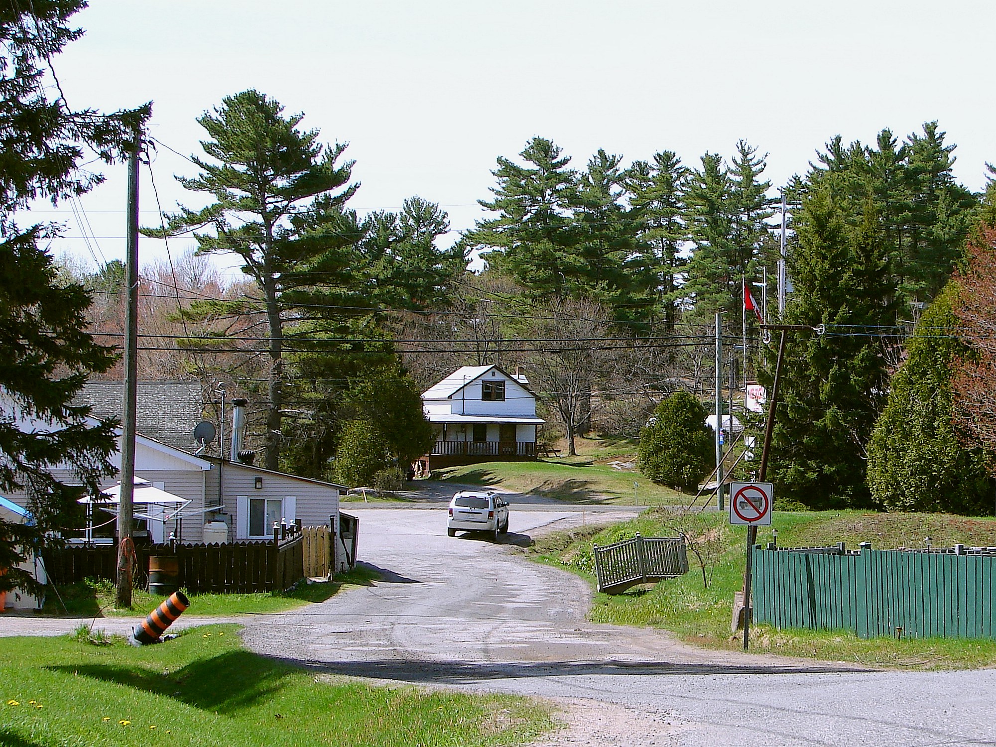
The township comprises the communities of Badger's Corners, Nobel, and Waubamik.
 Nobel
Nobel
Demographics
According to the 2006 Statistics Canada Census:[1]
- Population: 2,704
- % Change (2001-2006): 3.7
- Area (km²): 262.69
- Density (persons per km²): 10.3
- Private dwellings occupied by usual residents: 1022 (total dwellings: 1548)
- Mother tongue:
- English as first language: 93.3 %
- French as first language: 1.5 %
- English and French as first language: 0.6 %
- Other as first language: 4.6 %
Population trend:[2]
- Population in 2006: 2704
- Population in 2001: 2608
- Population in 1996: 2299 (or 2674 when adjusted for 2001 boundaries)
- Population in 1991: 2061
References
External links

Whitestone Carling 
McKellar  McDougall

Parry Sound / Parry Island FN Parry Sound, Seguin Towns Kearney • Parry Sound • Powassan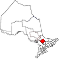
Townships The Archipelago • Armour • Callander • Carling • Joly • Machar • Magnetawan • McDougall • McKellar • McMurrich/Monteith • Nipissing • Perry • Ryerson • Seguin • Strong • WhitestoneVillages Burk's Falls • South River • SundridgeFirst Nations Local services boards Unorganized areas Centre Part • North East PartSee also: Communities in Parry Sound District • Census divisions of OntarioCategories:- Municipalities in Parry Sound District, Ontario
- Township municipalities in Ontario
- Ontario geography stubs

Wikimedia Foundation. 2010.