Memorial Bridge, Bangkok — Memorial Bridge (สะพานปฐมบรมราชานุสรณ์) Memorial Bridge with the Express Boat Pier Other name(s) Phra Phutta Yodfa Bridge (สะพานพระพุทธยอดฟ้า) Carries 3 lanes of roadway, pedestrians … Wikipedia
Rama VIII Bridge — Infobox Bridge bridge name=Rama VIII Bridge caption= official name= carries= 4 lanes of roadway, pedestrians crosses=Chao Phraya River locale= maint= id= design=Cable stayed bridge mainspan=300 m length=2.45 km width= height= load= clearance=… … Wikipedia
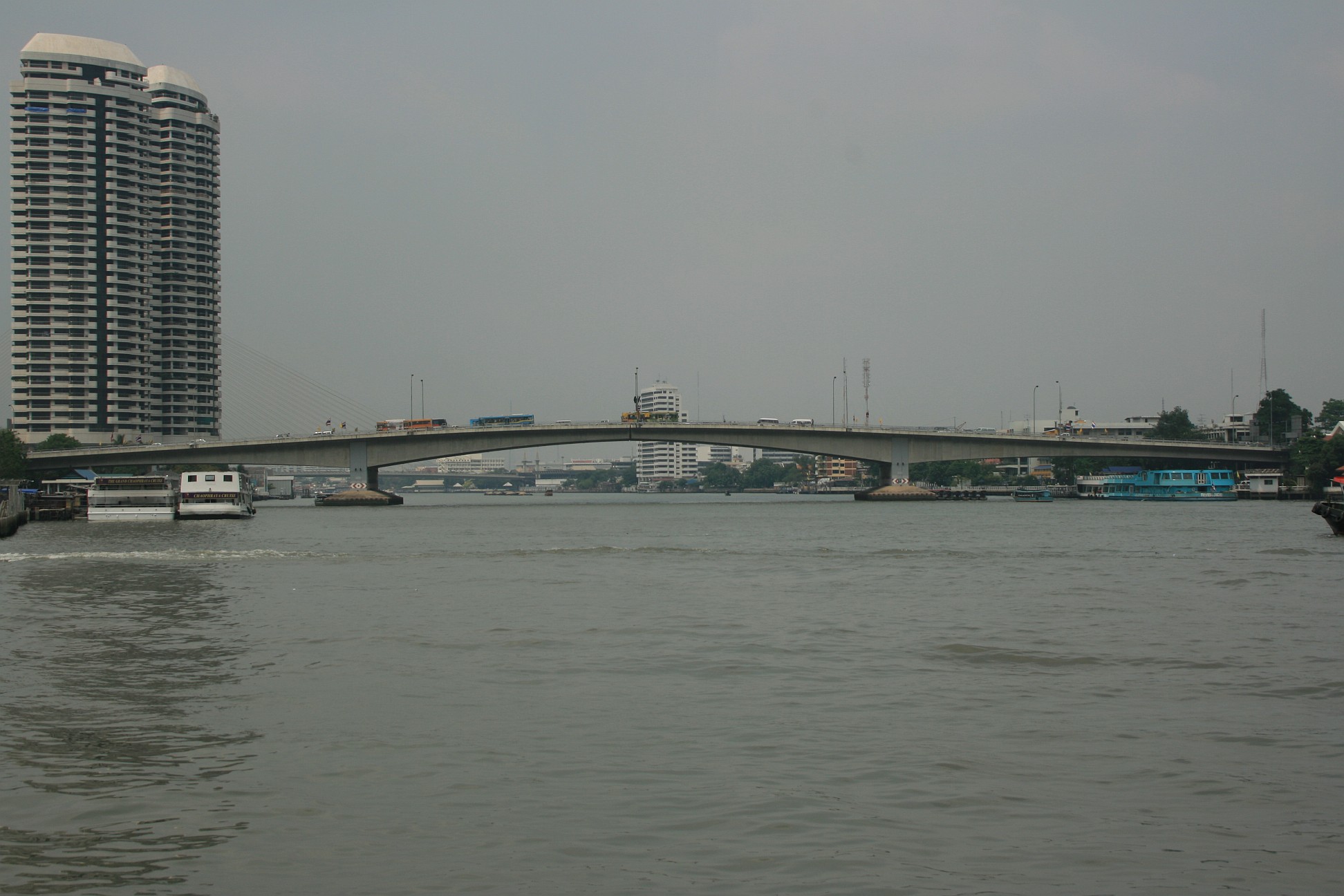
Chao Phraya Express Boat — The Chao Phraya Express Boat is a transportation service in Thailand that operates on the Chao Phraya River. It provides riverine express transportation between stops in the capital city of Bangkok and to Nonthaburi, the province immediately to… … Wikipedia
Local Line — RouteThe service runs between Nonthaburi and Wat Rat Singkhon districts in Bangkok. At Sathorn pier in Sathon districts is an interchange, where passengers may change boats or change their transportation to ferry, longtail boat, skytrain and… … Wikipedia
Orange Flag Line — RouteThe service runs between Nonthaburi and Rat Burana districts in Bangkok. At Sathorn pier in Sathon districts is an interchange, where passengers may change boats or change their transportation to ferry, longtail boat, skytrain and… … Wikipedia
Yellow Flag Line — RouteThe service runs between Nonthaburi and Ratburana districts in Bangkok. At Sathorn pier in Sathon districts is an interchange, where passengers may change boats or change their transportation to ferry, longtail boat, skytrain and… … Wikipedia
Chaophraya — Vorlage:Infobox Fluss/DGWK fehltVorlage:Infobox Fluss/QUELLHÖHE fehltVorlage:Infobox Fluss/MÜNDUNGSHÖHE fehltVorlage:Infobox Fluss/HÖHENUNTERSCHIED fehltVorlage:Infobox Fluss/KARTE fehlt Chao Phraya … Deutsch Wikipedia
Menam — Vorlage:Infobox Fluss/DGWK fehltVorlage:Infobox Fluss/QUELLHÖHE fehltVorlage:Infobox Fluss/MÜNDUNGSHÖHE fehltVorlage:Infobox Fluss/HÖHENUNTERSCHIED fehltVorlage:Infobox Fluss/KARTE fehlt Chao Phraya … Deutsch Wikipedia
Chao Phraya — Ursprung des Chao Phraya in Nakhon SawanVorlage:Infobox Fluss/KARTE fehlt Daten … Deutsch Wikipedia
Bang Phlat — Infobox Amphoe name=Bang Phlat province=Bangkok thai=บางพลัด coordinates=coord|13|47|38|N|100|30|18|E|type:adm2nd region:TH population=116,271 population as of=2003 area=11.360 density=10,235 postal code=10700 geocode=1025 Bang Phlat ( th.… … Wikipedia