- Old Wethersfield
-
Old Wethersfield Historic District
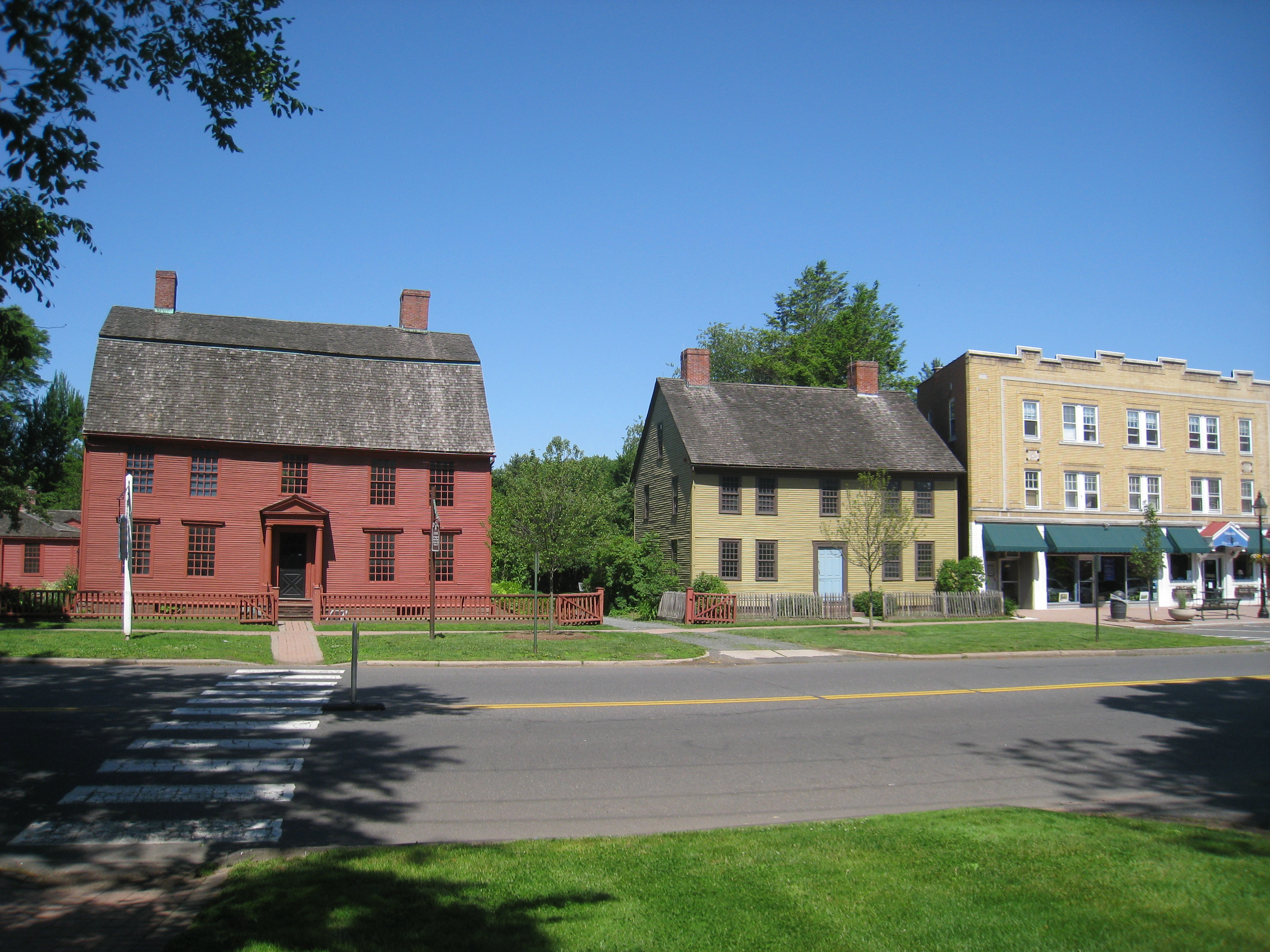
 Joseph Webb and Isaac Stevens Houses
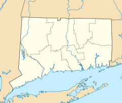

Location: Bounded by Hartford, railroad tracks, I-91, and Rocky Hill, Wethersfield, Connecticut Coordinates: 41°42′32″N 72°39′23″W / 41.70889°N 72.65639°WCoordinates: 41°42′32″N 72°39′23″W / 41.70889°N 72.65639°W Area: 1,300 acres (530 ha) Architect: Multiple Architectural style: Colonial, Federal Governing body: Local NRHP Reference#: 70000719[1] Added to NRHP: December 29, 1970 Old Wethersfield, also known as Old Wethersfield Historic District, and historically known as Watertown or Pyquag, is a section of the town of Wethersfield, Connecticut roughly bounded by the borders of the adjacent city of Hartford and town of Rocky Hill, railroad tracks, and I-91.[2] The site of the first permanent European-American settlement in the state of Connecticut,[3] it was added to the National Register of Historic Places in 1970. At 2.3-square-mile (6.0 km2) in size, it is the state's largest historic district.[3]
The land for this colonial settlement was acquired from the Massachusetts Bay Colony. Wethersfield served as a transportation hub on the Connecticut River in the early years.[2]
The Old Wethersfield Historic District was established under town statutes in 1962, "to preserve and protect the many architectural phases of a Connecticut River Community in continual growth from 1634 to the present."[4] Eight years later, in 1970, the Old Wethersfield Historic District was listed on the National Register of Historic Places. The village includes 50 houses that were built before the American Revolutionary War, plus about 250 additional houses built before the 20th century, about 100 of which were built earlier than the American Civil War.[3]
The historic district listed on the National Register includes 1200 structures over 1,300 acres (5.3 km2).[1] Of these 100 date from colonial times. Many of the early frame and brick houses were built by sea captains around the town green.[2]
There are three National Historic Landmarks in Old Wethersfield:
- Buttolph-Williams House — 249 Broad St.
- Joseph Webb House — 211 Main St.
- Silas Deane House — 203 Main St.
Another prominent historic building in the district is:
- First Church of Christ, Wethersfield
The district includes Wethersfield's green, which is "a slender diamond nearly a half-mile long".[5]:2
References
- ^ a b "National Register Information System". National Register of Historic Places. National Park Service. 2009-03-13. http://nrhp.focus.nps.gov/natreg/docs/All_Data.html.
- ^ a b c Old Wethersfield Historic District, National Park Service[dead link]
- ^ a b c Steve Kemper, Weekend: Old Wethersfield, CT; Connecticut's oldest town and seed company, Yankee magazine,
- ^ "Historic Properties Inventory - Historic Periods". Town of Wethersfield, Connecticut. http://hpi.wethersfieldct.com/index.cgi/432.
- ^ Constance Luyster (September 9, 1970). "National Register of Historic Places Inventory-Nomination: Old Wethersfield / Watertown, Pyquag". National Park Service. http://pdfhost.focus.nps.gov/docs/NRHP/Text/70000719.pdf. and Accompanying 11 photos, from 1970
External links
- Historic Wethersfield, Wethersfield Tourism website
- Historic Properties database, Town of Wethersfield
- OldWethersfield.Com, maintained by the Old Wethersfield Shopkeepers' Association
U.S. National Register of Historic Places Topics Lists by states Alabama • Alaska • Arizona • Arkansas • California • Colorado • Connecticut • Delaware • Florida • Georgia • Hawaii • Idaho • Illinois • Indiana • Iowa • Kansas • Kentucky • Louisiana • Maine • Maryland • Massachusetts • Michigan • Minnesota • Mississippi • Missouri • Montana • Nebraska • Nevada • New Hampshire • New Jersey • New Mexico • New York • North Carolina • North Dakota • Ohio • Oklahoma • Oregon • Pennsylvania • Rhode Island • South Carolina • South Dakota • Tennessee • Texas • Utah • Vermont • Virginia • Washington • West Virginia • Wisconsin • WyomingLists by territories Lists by associated states Other  Category:National Register of Historic Places •
  Portal:National Register of Historic PlacesCategories:
- NRHP articles with dead external links
- Historic districts in Connecticut
- Wethersfield, Connecticut
- Visitor attractions in Hartford County, Connecticut
- Neighborhoods in Connecticut
- Federal architecture in Connecticut
- Populated places in Hartford County, Connecticut
- Historic districts in Hartford County, Connecticut

Wikimedia Foundation. 2010.