- Ootmarsum
-
Ootmarsum — City — 
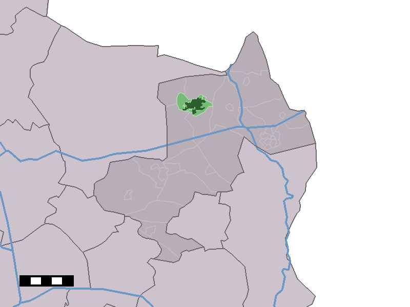
Coat of armsNickname(s): Siepeln, Vaandeldeve  The town centre (dark green) and the statistical district (light green) of Ootmarsum in the municipality of Dinkelland.
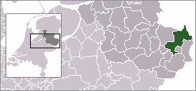
Coordinates: 52°24′26″N 6°53′58″E / 52.40722°N 6.89944°ECoordinates: 52°24′26″N 6°53′58″E / 52.40722°N 6.89944°E Country Netherlands Province Overijssel Municipality Dinkelland Population (2008) – Total 4,450 Demonym Ootmarsumers Time zone CET (UTC+1) – Summer (DST) CEST (UTC+2) Postal code Ootmarsum is a city in the Dutch province of Overijssel. It is a part of the municipality of Dinkelland, and lies about 10 km north of Oldenzaal. It received city rights in 1325.
Ootmarsum was a separate municipality until 2001, when it became a part of Dinkelland.[1]
In 2001, the town of Ootmarsum had 4227 inhabitants. The built-up area of the town was 1.5 km², and contained 1620 residences.[2] The statistical area "Ootmarsum", which also can include the peripheral parts of the village, as well as the surrounding countryside, has a population of around 3650.[3]
 Statue of the "Poaskearls" (Easter Men) in Ootmarsum, referring to an Easter ritual.
References
- ^ Ad van der Meer and Onno Boonstra, Repertorium van Nederlandse gemeenten, KNAW, 2006.
- ^ Statistics Netherlands (CBS), Bevolkingskernen in Nederland 2001. (Statistics are for the continuous built-up area).
- ^ Statistics Netherlands (CBS), Statline: Kerncijfers wijken en buurten 2003-2005. As of 1 January 2005.
External links
- Jacob van Ruisdael's Painting "View of Ootmarsum", 17th Century
- J. Kuyper, Gemeente Atlas van Nederland, 1865-1870, "Ootmarsum". Map of the former municipality, around 1868.
Categories:- Populated places in Overijssel
- Former municipalities of Overijssel
- Twente
- Overijssel geography stubs


Wikimedia Foundation. 2010.