- Albergen
Dutch town locator maps
mun_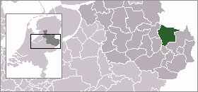
town_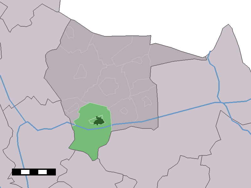
caption = The town centre (dark green) and the statistical district (light green) of Albergen in the municipality of Tubbergen.Albergen (coord|52|22|N|6|46|E|type:city(1990)) is a town in the Dutch province of
Overijssel . It is a part of the municipality ofTubbergen , and lies about 7 km east ofAlmelo .In 2001, the town of Albergen had 1990 inhabitants. The built-up area of the town was 0.68 km², and contained 673 residences.Statistics Netherlands (CBS), [http://www.cbs.nl/nl-NL/menu/themas/milieu-natuur-ruimte/ruimte/publicaties/cartografie-geografie/geografische-data/2001-bevolkingskernen-in-nederland.htm "Bevolkingskernen in Nederland 2001"] . (Statistics are for the continuous built-up area).] The statistical area "Albergen", which also can include the peripheral parts of the village, as well as the surrounding countryside, has a population of around 3490.Statistics Netherlands (CBS), [http://statline.cbs.nl/ "Statline: Kerncijfers wijken en buurten 2003-2005"] . As of
January 1 ,2005 .]ervices
Albergen hasn't got a lot of services, because a lot of services can be found in bigger towns surrounding Albergen. However there is a church, a primary school, a super market and a gym.
Culture
Albergen is best known for the carnival, the Whitsun Fair. The carnival parade is the first one in
Twente . However, the carnaval parade in the nearbyGeesteren is far more interesting. During the Whitsunday Fair, famous Dutch artists perform, such asBløf ,Van Dik Hout , andDi-rect .fact|date=September 2008References
Wikimedia Foundation. 2010.