- Nor Chichas Province
-
Nor Chichas — Province — Vitichi

Flag
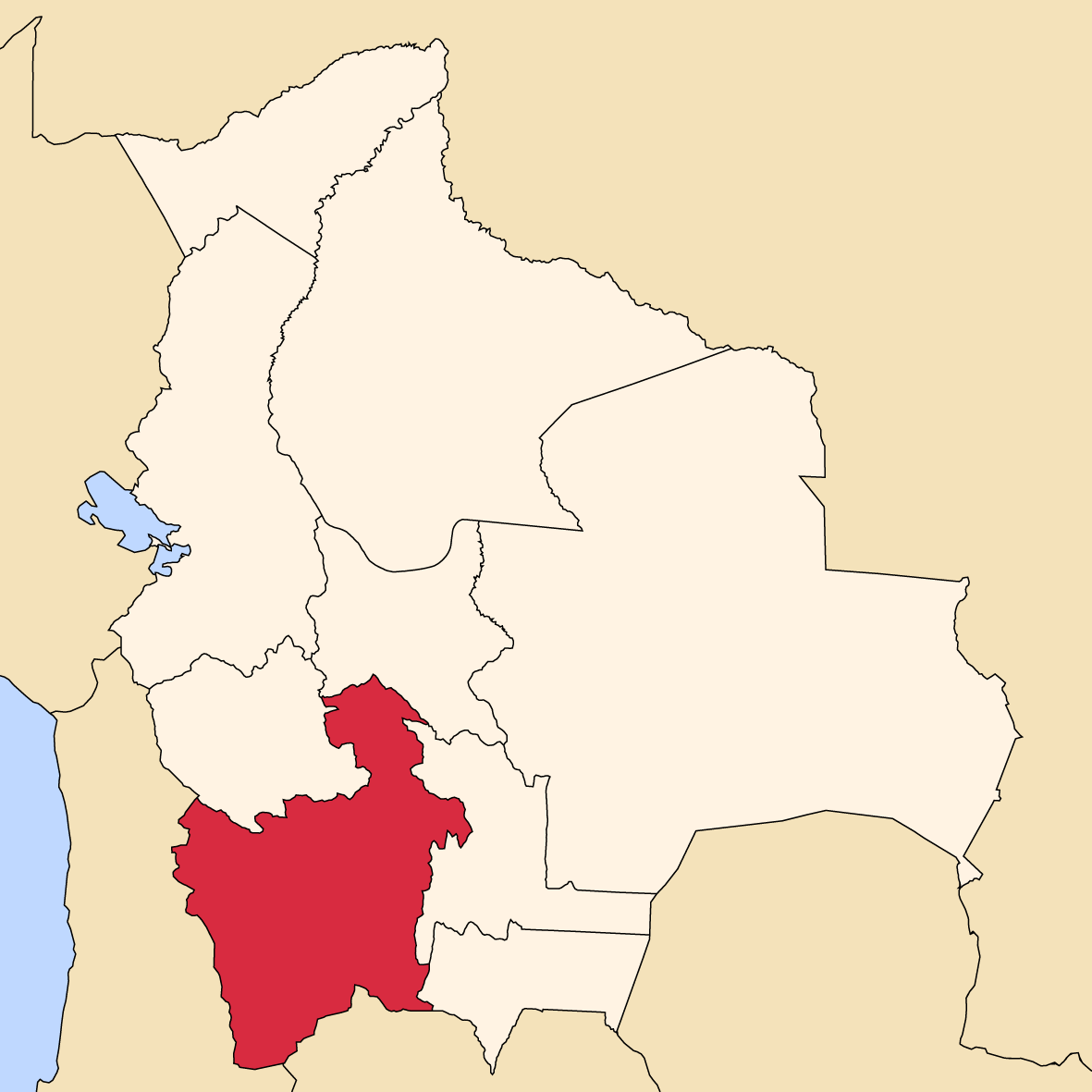
SealLocation of the Nor Chichas Province within Bolivia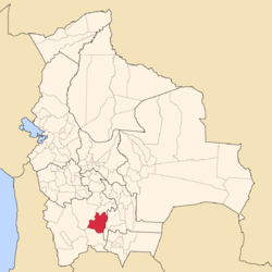 Provinces of the Potosí Department
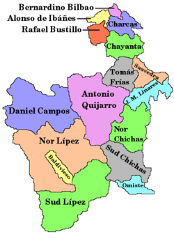
Coordinates: 20°34′0″S 65°45′0″W / 20.566667°S 65.75°W Country  Bolivia
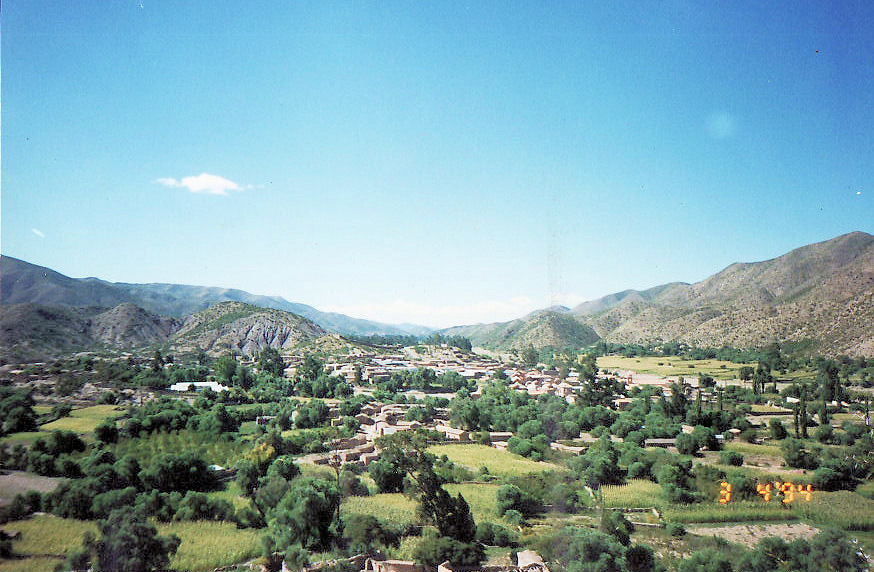
Department Potosí Department Capital Cotagaita Area – Total 3,168 sq mi (8,205 km2) Population (2001) – Total 35,323 – Density 11.1/sq mi (4.3/km2) – Ethnicities Quechua Area code(s) BO.PO.NC Nor Chichas is a province in the Eastern parts of the Bolivian Potosí Department. Its seat is Cotagaita.
Contents
Location
Nor Chichas province is one of sixteen provinces in the Potosí Department. It is located between 20° 01' and 21° 08' South and between 65° 13' and 66° 17' West. It borders José María Linares Province in the north, Antonio Quijarro Province in the west, Sud Chichas Province in the south, and Chuquisaca Department in the east. The province extends over 120 km from east to west and 140 km from north to south.
Division
The province comprises two municipalities which are further subdivided into cantons.
Section Municipality Seat 1st Cotagaita Municipality Cotagaita 2nd Vitichi Municipality Vitichi Population
The main language of the province is Quechua, spoken by 99.5 %, while 69 % of the population speak Spanish. The population dropped from 38,250 inhabitants (1992 census) to 35,323 (2001 census), a decrease of 17 %.
92 % of the population have no access to electricity, 87 % have no sanitary facilities. 73 % of the population are employed in agriculture, 4.5 % in mining, 4 % in industry, 18.5 % in general services. 79 % of the population are Catholics, 17 % Protestants. 55 % of the population are female.
The people are predominantly indigenous citizens of Quechua descent.[1]
Ethnic group Cotagaita Municipality (%) Vitichi Municipality (%) Quechua 89.2 90.4 Aymara 0.7 0.2 Guaraní, Chiquitos, Moxos 0.1 0.0 Not indigenous 9.4 9.3 Other indigenous groups 0.6 0.1 References
- ^ obd.descentralizacion.gov.bo/municipal/fichas/ (inactive)
Coordinates: 20°34′S 65°45′W / 20.567°S 65.75°W
 Potosí DepartmentCapital: Potosí
Provinces Alonso de Ibáñez • Antonio Quijarro • Bernardino Bilbao • Charcas • Chayanta • Cornelio Saavedra • Daniel Campos • Enrique Baldivieso • José María Linares • Modesto Omiste • Nor Chichas • Nor Lípez • Rafael Bustillo • Sud Chichas • Sur Lípez • Tomás Frías
Municipalities (and seats) Acasio (Acasio) • Arampampa (Arampampa) • Atocha (Atocha) • Betanzos (Betanzos) • Caiza "D" (Caiza "D") • Ckochas (Ckochas) • Caripuyo (Caripuyo) • Chaquí (Chaquí) • Chayanta (Chayanta) • Chuquihuta (Chuquihuta) • Colcha "K" (Colcha "K") • Colquechaca (Colquechaca) • Cotagaita (Cotagaita) • Llallagua (Llallagua) • Llica (Llica) • Mojinete Municipality (Mojinete) Ocurí (Ocurí) • Pocoata (Pocoata) • Porco (Porco) • Potosí (Potosí) • Puna (Puna) • Ravelo (Ravelo) • Sacaca (Sacaca) • San Agustín (San Agustín) • San Antonio de Esmoruco (San Antonio de Esmoruco) • San Pablo de Lípez (San Pablo de Lípez) • San Pedro de Buena Vista (San Pedro de Buena Vista) • San Pedro de Quemes (San Pedro de Quemes) • Tacobamba (Tacobamba) • Tahua (Tahua) • Tinguipaya (Tinguipaya) • Tomave (Tomave) • Toro Toro (Toro Toro) • Tupiza (Tupiza) • Uncía (Uncía) • Urmiri (Urmiri) • Uyuni (Uyuni) • Villazón (Villazón) • Vitichi (Vitichi) • Yocalla (Yocalla)Categories:


Wikimedia Foundation. 2010.