- Negur
-
Negur
نگور— city — 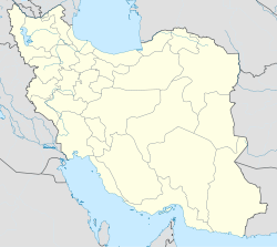
 Negur
NegurCoordinates: 25°23′20″N 61°08′18″E / 25.38889°N 61.13833°ECoordinates: 25°23′20″N 61°08′18″E / 25.38889°N 61.13833°E Country  Iran
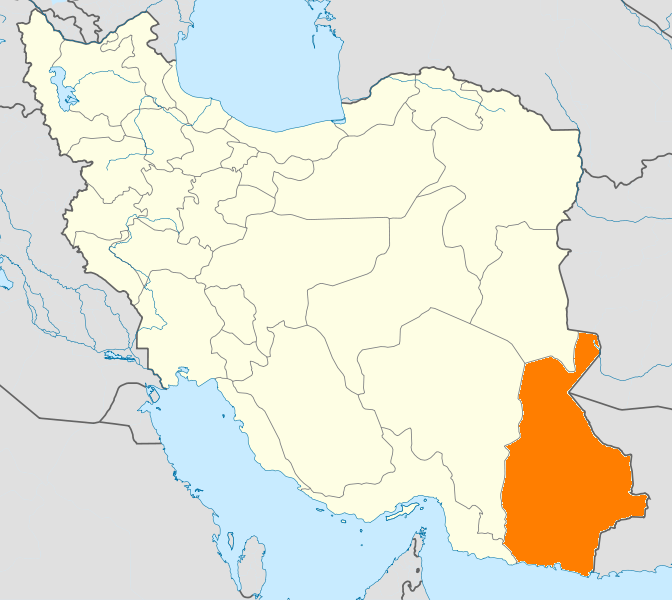
IranProvince Sistan and Baluchestan County Chah Bahar Bakhsh Dashtiari Population (2006) - Total 3,759 Time zone IRST (UTC+3:30) - Summer (DST) IRDT (UTC+4:30) Negur (Persian: نگور, also Romanized as Negūr, Nigor, Nīgvār, and Nī Kor)[1] is a city in and capital of Dashtiari District, in Chah Bahar County, Sistan and Baluchestan Province, Iran. At the 2006 census, its population was 3,759, in 647 families.[2]
Contents
Etymology
Negur is a Baluchi word meaning "foothill" and is the name of many other locations in the Pakistani and Iranian parts of Baluchistan.
Population
The original inhabitants of Negur were from the Baluchi tribe of Shaikhzadah, who according to inscriptions on gravestones lived there before the invasion of the Mongolians. The existence of considerable underground water resources seems to have been the main reason for settling in Negur.
In 1969, after Negur became an independent municipality, many people including government staff migrated to the town from other parts of the country. In recent years severe drought accelerated the immigration of people from other parts of Dashtyari district, posing a serious threat to water resources. Today's population of Negur is about 8,000, mainly immigrants.
References
- ^ Negur can be found at GEOnet Names Server, at this link, by opening the Advanced Search box, entering "-3076791" in the "Unique Feature Id" form, and clicking on "Search Database".
- ^ "Census of the Islamic Republic of Iran, 1385 (2006)" (Excel). Islamic Republic of Iran. http://www.amar.org.ir/DesktopModules/FTPManager/upload/upload2360/newjkh/newjkh/11.xls.
External links
- http://wikimapia.org/4005888/negur,Wikimapia satellite image from negur
 Sistan and Baluchestan Province
Capital 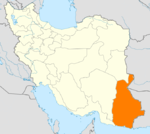
Counties and Cities Chah Bahar · NegurGalmurtiHirmand CountyKhash · NukabadKonarak CountyKonarakSib and Suran CountySuranZaboli CountyZehak CountyZehakSights Categories:- Chah Bahar County
- Cities in Iran
- Cities in Sistan and Baluchestan Province
- Iran geography stubs

Wikimedia Foundation. 2010.