- Mirjaveh
-
For the administrative subdivision, see Mirjaveh District.
Mirjaveh
ميرجاوه— city — 
 Mirjaveh
Coordinates: 29°00′53″N 61°27′00″E / 29.01472°N 61.45°ECoordinates: 29°00′53″N 61°27′00″E / 29.01472°N 61.45°E Country  Iran
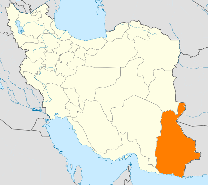
IranProvince Sistan and Baluchestan County Zahedan Bakhsh Mirjaveh Population (2006) - Total 13,590 Time zone IRST (UTC+3:30) - Summer (DST) IRDT (UTC+4:30) Mirjaveh (Persian: ميرجاوه, also Romanized as Mīrjāveh and Mīrjāwa)[1] is a city in the capital of Mirjaveh District of Zahedan County, Sistan and Baluchestan Province, Iran. At the 2006 census, its population was 13,590, in 2,350 families.[2]
Mirjaveh is the main road crossing point between Iran and Pakistan. The Pakistani border post is at Taftan.[3] Mirjawah is also the point where the railway line from Pakistan crosses the border on the way from Quetta to Zahedan.
Transport
Since construction of this railway line in 1921, it has been isolated, with no through connection to any other Iranian Railway system. Around 2007, steps were taken to build a link from the rest of the Iranian Railway system via Bam to connect with the Pakistan Railway system. This link is now finished.
Break of Gauge
As the gauges of the Iranian and Pakistan railways are different, being standard gauge and 1,676 mm (5 ft 6 in) broad gauge respectively, a break-of-gauge station and transshipment hub (or transloading hub) were built at Zahedan and not at Mirjaveh.
References
- ^ Mirjaveh can be found at GEOnet Names Server, at this link, by opening the Advanced Search box, entering "-3075135" in the "Unique Feature Id" form, and clicking on "Search Database".
- ^ "Census of the Islamic Republic of Iran, 1385 (2006)" (Excel). Islamic Republic of Iran. http://www.amar.org.ir/DesktopModules/FTPManager/upload/upload2360/newjkh/newjkh/11.xls.
- ^ Lonely Planet: Iran
 Sistan and Baluchestan Province
Capital 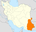
Counties and Cities GalmurtiHirmand CountyKhash · NukabadKonarak CountyKonarakSib and Suran CountySuranZaboli CountyZehak CountyZehakSights Categories:- Zahedan County
- Cities in Iran
- Cities in Sistan and Baluchestan Province
- Iran–Pakistan border crossings
- Iran geography stubs

Wikimedia Foundation. 2010.