- National Register of Historic Places listings in Greene County, Tennessee
-
 Location of Greene County in Tennessee
This is a list of the National Register of Historic Places listings in Greene County, Tennessee.
This is intended to be a complete list of the properties and districts on the National Register of Historic Places in Greene County, Tennessee, United States. Latitude and longitude coordinates are provided for many National Register properties and districts; these locations may be seen together in a Google map.[1]
There are 16 properties and districts listed on the National Register in the county. Conway Bridge is listed in the NRHP NRIS database in both Greene and Cocke County.[2]
Contents: Counties in Tennessee Anderson – Bedford – Benton – Bledsoe – Blount – Bradley – Campbell – Cannon – Carroll – Carter – Cheatham – Chester – Claiborne – Clay – Cocke – Coffee – Crockett – Cumberland – Davidson – Decatur – DeKalb – Dickson – Dyer – Fayette – Fentress – Franklin – Gibson – Giles – Grainger – Greene – Grundy – Hamblen – Hamilton – Hancock – Hardeman – Hardin – Hawkins – Haywood – Henderson – Henry – Hickman – Houston – Humphreys – Jackson – Jefferson – Johnson – Knox – Lake – Lauderdale – Lawrence – Lewis – Lincoln – Loudon – Macon – Madison – Marion – Marshall – Maury – McMinn – McNairy – Meigs – Monroe – Montgomery – Moore – Morgan – Obion – Overton – Perry – Pickett – Polk – Putnam – Rhea – Roane – Robertson – Rutherford – Scott – Sequatchie – Sevier – Shelby – Smith – Stewart – Sullivan – Sumner – Tipton – Trousdale – Unicoi – Union – Van Buren – Warren – Washington – Wayne – Weakley – White – Williamson – Wilson -
- This National Park Service list is complete through NPS recent listings posted November 10, 2011.[3]
Current listings
[4] Landmark name [5] Image Date listed Location City or town Summary 1 Allen-Birdwell Farm March 15, 2011 3005 W. Allen's Bridge Rd.
36°03′34″N 82°54′43″W / 36.059444°N 82.911944°WGreeneville vicinity Transformation of the Nolichucky Valley MPS 2 Andrew Johnson National Historic Site 
October 15, 1966 Depot and College Sts.
36°09′30″N 82°50′06″W / 36.158333°N 82.835°WGreeneville 3 Brown-Neas House November 8, 1984 Old Johnson City Rd.
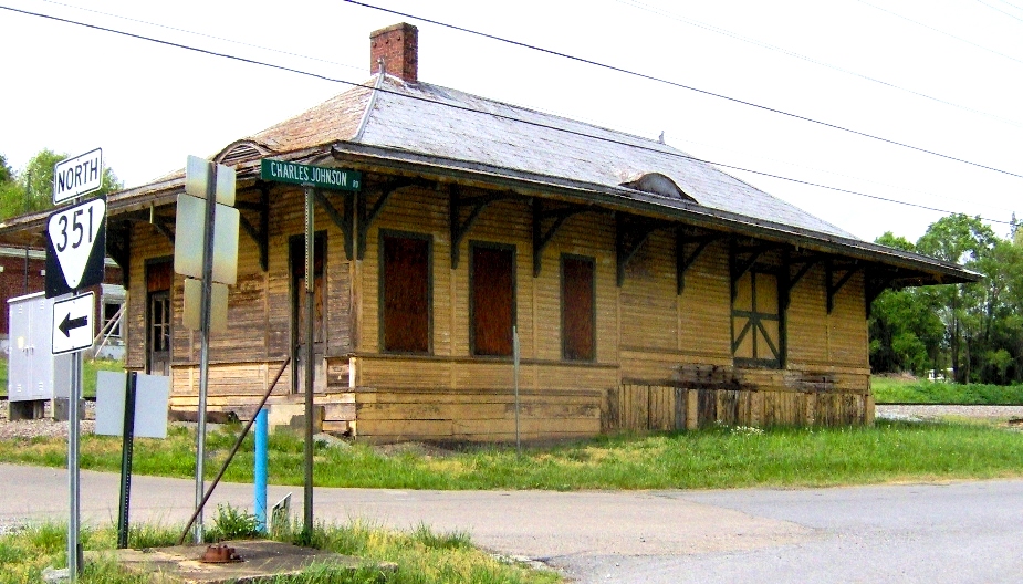
36°11′02″N 82°44′04″W / 36.183889°N 82.734444°WAfton 4 Bulls Gap Fortification September 29, 1998 Address Restricted Bulls Gap 5 Chuckey Depot 
December 19, 1979 State Route 2391
36°12′41″N 82°41′15″W / 36.211389°N 82.6875°WChuckey 6 Conway Bridge November 20, 2009 Briar Thicket Rd./Knob Creek Rd. over the Nolichucky River
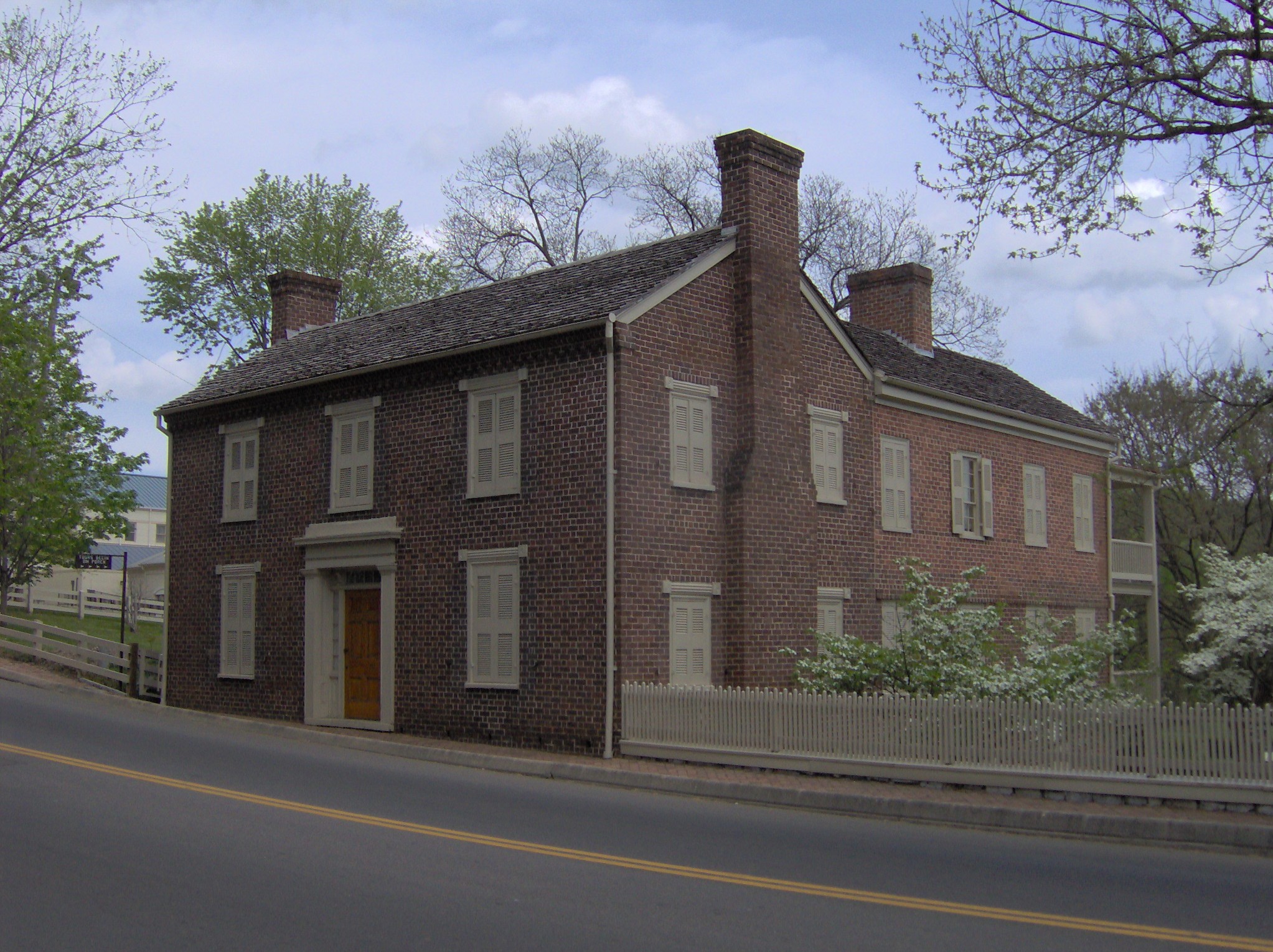
36°07′21″N 83°07′31″W / 36.1225°N 83.125278°WBriar Thicket Extends into Cocke County[2] 7 Samuel Doak House 
February 18, 1975 2.5 miles east of Greeneville on U.S. Route 11
36°10′28″N 82°45′54″W / 36.174444°N 82.765°WGreeneville 8 Earnest Farms Historic District 
January 11, 2002 South of the Nolichucky River, bounded by Crum Farm and Jim Earnest Farmstead
36°11′54″N 82°40′51″W / 36.198333°N 82.680833°WChuckey 9 Greeneville Historic District 
May 3, 1974 Roughly bounded by Irish, Nelson, E. Church, College and McKee Sts.
36°09′41″N 82°49′47″W / 36.161389°N 82.829722°WGreeneville 10 James Lowry House March 25, 1982 Asheville Highway
36°07′16″N 82°51′39″W / 36.121111°N 82.860833°WGreeneville 11 Maden Hall Farm 
August 27, 2009 3225 Kingsport Highway
36°13′02″N 82°47′40″W / 36.217111°N 82.794442°WGreeneville 12 Mauris-Earnest Fort House 
January 30, 1978 South of Chuckey on the Nolichucky River
36°12′19″N 82°41′04″W / 36.205278°N 82.684444°WChuckey 13 New Bethel Cumberland Presbyterian Church October 5, 1978 Northwest of Greeneville on State Route 70
36°11′43″N 82°53′01″W / 36.195278°N 82.883611°WGreeneville 14 David Rankin House August 26, 1983 Snapp's Ferry Rd.
36°12′30″N 82°46′12″W / 36.208333°N 82.77°WGreeneville 15 Ripley Stone House September 18, 1978 East of Afton off U.S. Route 11
36°11′53″N 82°42′31″W / 36.198056°N 82.708611°WAfton 16 Tusculum College Historic District 
November 25, 1980 U.S. Route 11 and State Route 107
36°10′25″N 82°45′41″W / 36.173611°N 82.761389°WTusculum See also
- List of National Historic Landmarks in Tennessee
- National Register of Historic Places listings in Tennessee
References
- ^ The latitude and longitude information provided in this table was derived originally from the National Register Information System, which has been found to be fairly accurate for about 99% of listings. For about 1% of NRIS original coordinates, experience has shown that one or both coordinates are typos or otherwise extremely far off; some corrections may have been made. A more subtle problem causes many locations to be off by up to 150 yards, depending on location in the country: most NRIS coordinates were derived from tracing out latitude and longitudes off of USGS topographical quadrant maps created under North American Datum of 1927, which differs from the current, highly accurate GPS system used by Google maps. Chicago is about right, but NRIS longitudes in Washington are higher by about 4.5 seconds, and are lower by about 2.0 seconds in Maine. Latitudes differ by about 1.0 second in Florida. Some locations in this table may have been corrected to current GPS standards.
- ^ a b "National Register Information System". National Register of Historic Places. National Park Service. . http://nrhp.focus.nps.gov/natreg/docs/All_Data.html.
- ^ "National Register of Historic Places: Weekly List Actions". National Park Service, United States Department of the Interior. Retrieved on November 10, 2011.
- ^ Numbers represent an ordering by significant words. Various colorings, defined here, differentiate National Historic Landmark sites and National Register of Historic Places Districts from other NRHP buildings, structures, sites or objects.
- ^ "National Register Information System". National Register of Historic Places. National Park Service. . http://nrhp.focus.nps.gov/natreg/docs/All_Data.html.
U.S. National Register of Historic Places Topics Lists by states Alabama • Alaska • Arizona • Arkansas • California • Colorado • Connecticut • Delaware • Florida • Georgia • Hawaii • Idaho • Illinois • Indiana • Iowa • Kansas • Kentucky • Louisiana • Maine • Maryland • Massachusetts • Michigan • Minnesota • Mississippi • Missouri • Montana • Nebraska • Nevada • New Hampshire • New Jersey • New Mexico • New York • North Carolina • North Dakota • Ohio • Oklahoma • Oregon • Pennsylvania • Rhode Island • South Carolina • South Dakota • Tennessee • Texas • Utah • Vermont • Virginia • Washington • West Virginia • Wisconsin • WyomingLists by territories Lists by associated states Other  Category:National Register of Historic Places •
  Portal:National Register of Historic Places
Municipalities and communities of Greene County, Tennessee County seat: Greeneville City 
Towns CDP Unincorporated
communitiesFootnotes ‡This populated place also has portions in an adjacent county or counties
Categories:- National Register of Historic Places in Tennessee by county
- Greene County, Tennessee
- Buildings and structures in Greene County, Tennessee
-


Wikimedia Foundation. 2010.