National Register of Historic Places listings in Cook County, Minnesota
- National Register of Historic Places listings in Cook County, Minnesota
-
List of NRHP sites in Cook County, Minnesota. See List of RHPs in MN.
Current listings
| [1] |
Landmark name |
Image |
Date listed |
Location |
City or town |
Summary |
| 1 |
AMBOY and GEORGE SPENCER Shipwreck Sites |
|
01994-04-14April 14, 1994 |
Address Restricted
|
Schroeder Township |
See Amboy (ship) [2] and GEORGE SPENCER Shipwreck Site [3] |
| 2 |
Bally Blacksmith Shop |
|
01986-08-13August 13, 1986 |
Broadway and 1st Sts.
47°45′01″N 90°20′01″W / 47.750278°N 90.333611°W / 47.750278; -90.333611 (Bally Blacksmith Shop) |
Grand Marais |
|
| 3 |
Cascade River Wayside |
|
02003-08-04August 4, 2003 |
3481 Minnesota Highway 61
47°42′33″N 90°31′16″W / 47.709167°N 90.521111°W / 47.709167; -90.521111 (Cascade River Wayside) |
Cascade River State Park |
|
| 4 |
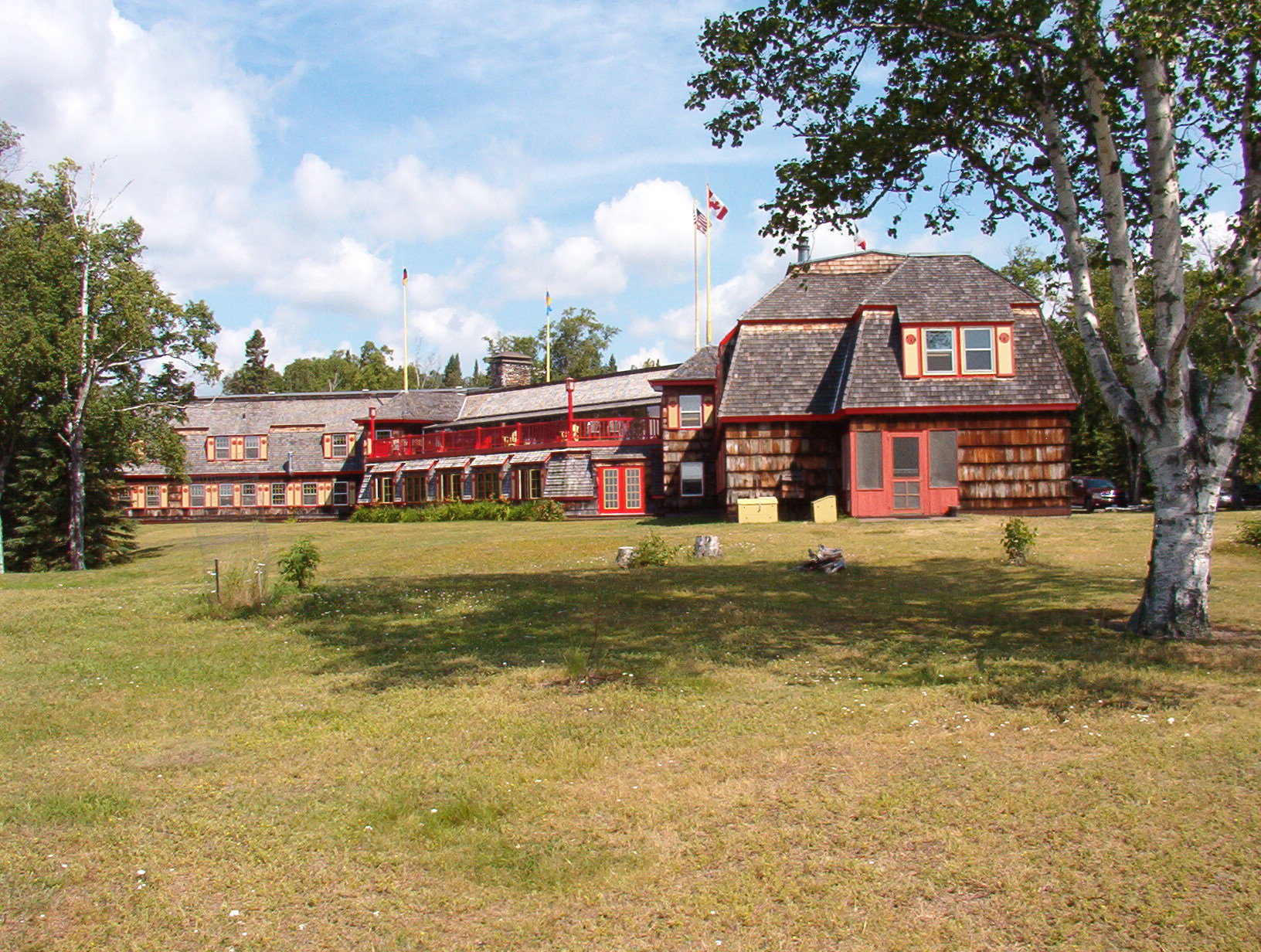
Chik Wauk Lodge |
|
02007-06-27June 27, 2007 |
28 Moose Pond Rd.
|
Grand Marais |
|
| 5 |
Church of St. Francis Xavier-Catholic |
|
01986-07-31July 31, 1986 |
U.S. Route 61
47°45′29″N 90°18′43″W / 47.758056°N 90.311944°W / 47.758056; -90.311944 (Church of St. Francis Xavier-Catholic) |
Grand Marais |
|
| 6 |
Clearwater Lodge |
|
01985-12-02December 2, 1985 |
Off County Road 66
48°04′10″N 90°22′57″W / 48.069444°N 90.3825°W / 48.069444; -90.3825 (Clearwater Lodge) |
Grand Marais |
|
| 7 |
Cook County Courthouse |
|
01983-05-09May 9, 1983 |
411 2nd St.
47°45′13″N 90°19′56″W / 47.753611°N 90.332222°W / 47.753611; -90.332222 (Cook County Courthouse) |
Grand Marais |
|
| 8 |
Fowl Lake Site |
|
01974-12-30December 30, 1974 |
Address Restricted
|
Hovland |
|
| 9 |
Grand Portage National Monument |
|
01966-10-15October 15, 1966 |
Off U.S. Route 61 within Grand Portage Indian Reservation
47°59′07″N 89°44′57″W / 47.985278°N 89.749167°W / 47.985278; -89.749167 (Grand Portage National Monument) |
Grand Portage |
|
| 10 |
Height of Land |
|
01974-10-18October 18, 1974 |
Between North and South Lake in the Superior National Forest
48°06′06″N 90°34′02″W / 48.101667°N 90.567222°W / 48.101667; -90.567222 (Height of Land) |
Grand Marais |
|
| 11 |
Lightkeeper's House |
|
01978-11-28November 28, 1978 |
12 S. Broadway
47°44′57″N 90°19′57″W / 47.749167°N 90.3325°W / 47.749167; -90.3325 (Lightkeeper's House) |
Grand Marais |
|
| 12 |
Naniboujou Club Lodge |
|
01982-10-21October 21, 1982 |
East of Grand Marais on U.S. Route 61
47°48′59″N 90°02′54″W / 47.816389°N 90.048333°W / 47.816389; -90.048333 (Naniboujou Club Lodge) |
Grand Marais |
|
| 13 |
Schroeder Lumber Company Bunkhouse |
|
01986-07-31July 31, 1986 |
U.S. Route 61
47°32′35″N 90°53′41″W / 47.543056°N 90.894722°W / 47.543056; -90.894722 (Schroeder Lumber Company Bunkhouse) |
Schroeder Township |
|
| 14 |
Jim Scott Fishhouse |
|
01986-10-23October 23, 1986 |
U.S. Route 61 at 5th Ave.
47°44′56″N 90°20′26″W / 47.748889°N 90.340556°W / 47.748889; -90.340556 (Jim Scott Fishhouse) |
Grand Marais |
|
References
- ^ Numbers represent an ordering by significant words. Various colorings, defined here, differentiate National Historic Landmark sites and National Register of Historic Places Districts from other NRHP buildings, structures, sites or objects.
- ^ http://www.mnhs.org/places/nationalregister/shipwrecks/amboy/amboy.html
- ^ http://www.mnhs.org/places/nationalregister/shipwrecks/spencer/spencer.html
Categories:
- National Register of Historic Places in Minnesota by county
- Cook County, Minnesota
- Buildings and structures in Cook County, Minnesota
Wikimedia Foundation.
2010.
Look at other dictionaries:
National Register of Historic Places listings in Ramsey County, Minnesota — Ramsey County This is a complete list of National Register of Historic Places listings in Ramsey County, Minnesota. There are 111 properties in the county listed on the National Register of Historic Places including three National Historic… … Wikipedia
National Register of Historic Places listings in Mower County, Minnesota — Location of Mower County in Minnesota This is a list of the National Register of Historic Places listings in Mower County, Minnesota. It is intended to be a complete list of the properties and districts on the National Register of Historic Places … Wikipedia
National Register of Historic Places listings in Cook County, Illinois — For places listed on the National Register in Chicago, see National Register of Historic Places listings in Chicago. Map of all coordinates from Google Map of all coordinates from Bing … Wikipedia
National Register of Historic Places listings in Hennepin County, Minnesota — Hennepin County, Minnesota contains 142 properties and historic districts that are listed on the National Register of Historic Places. A significant number of National Register properties in Hennepin County are a result of the establishment of… … Wikipedia
National Register of Historic Places listings in Dakota County, Minnesota — Dakota County This is a list of properties on the National Register of Historic Places in Dakota County, Minnesota. Dakota County is a county located in the southeastern part of the U.S. state of Minnesota, bounded on the northeast side by the… … Wikipedia
National Register of Historic Places listings in Goodhue County, Minnesota — Map of all coordinates from Google Map of all coordinates from Bing … Wikipedia
National Register of Historic Places listings in Carver County, Minnesota — This is a complete List of Registered Historic Places in Carver County, Minnesota. The list includes 33 entries on the National Register of Historic Places. Carver County is a county located in the southeastern part of the U.S. state of Minnesota … Wikipedia
National Register of Historic Places listings in Olmsted County, Minnesota — Map of all coordinates from Google Map of all coordinates from Bing … Wikipedia
National Register of Historic Places listings in Swift County, Minnesota — This is a list of entries on the National Register of Historic Places in Swift County, Minnesota. Swift County is located in the west central part of Minnesota. Current listings [1] Landmark name Image Date listed Location … Wikipedia
National Register of Historic Places listings in Anoka County, Minnesota — Map of all coordinates from Google Map of all coordinates from Bing … Wikipedia