| [2] |
Landmark name[3] |
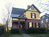
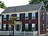
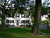
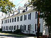
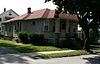
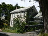
Image |
Date listed |
Location |
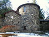
Summary |
| 1 |
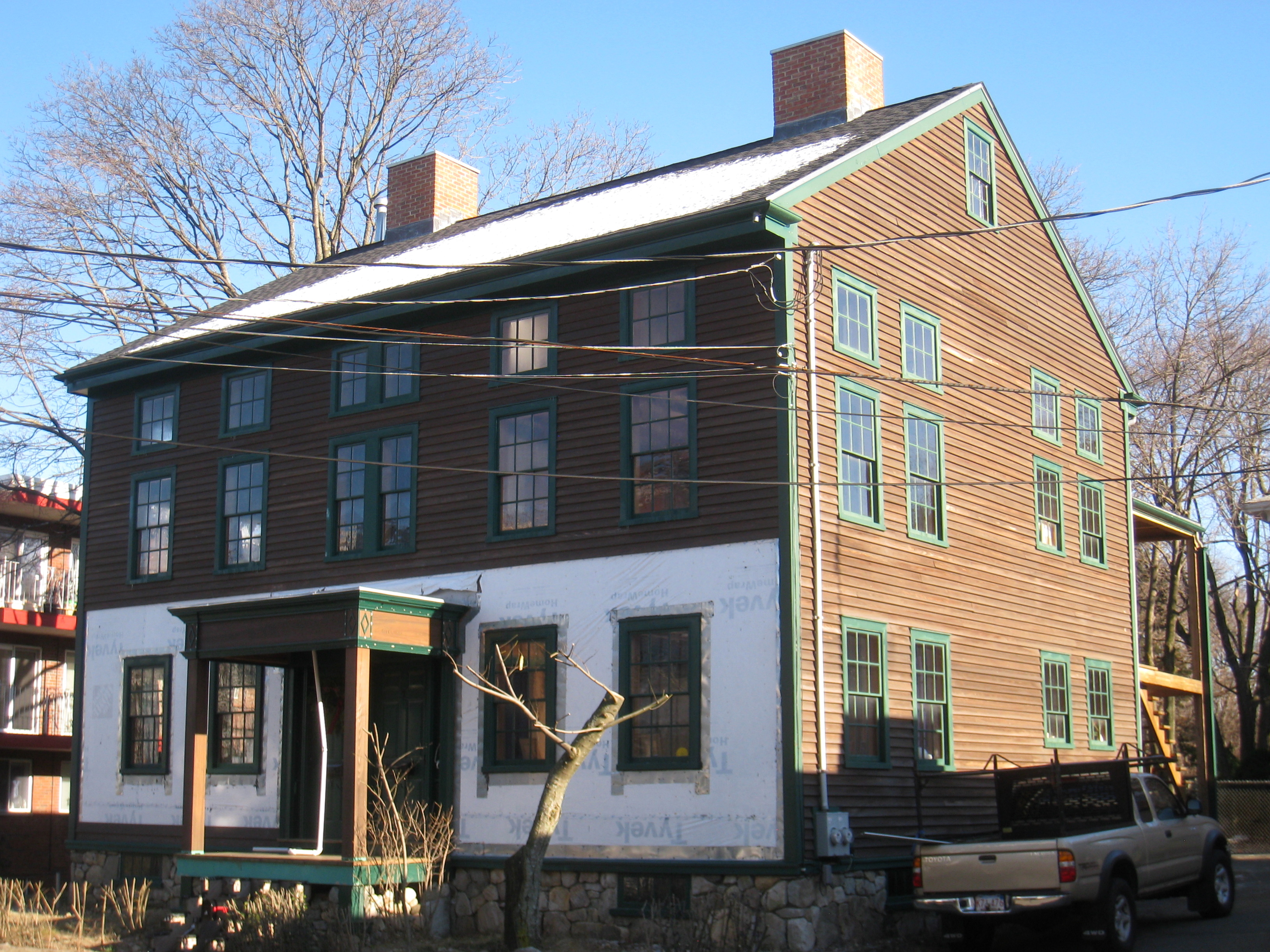
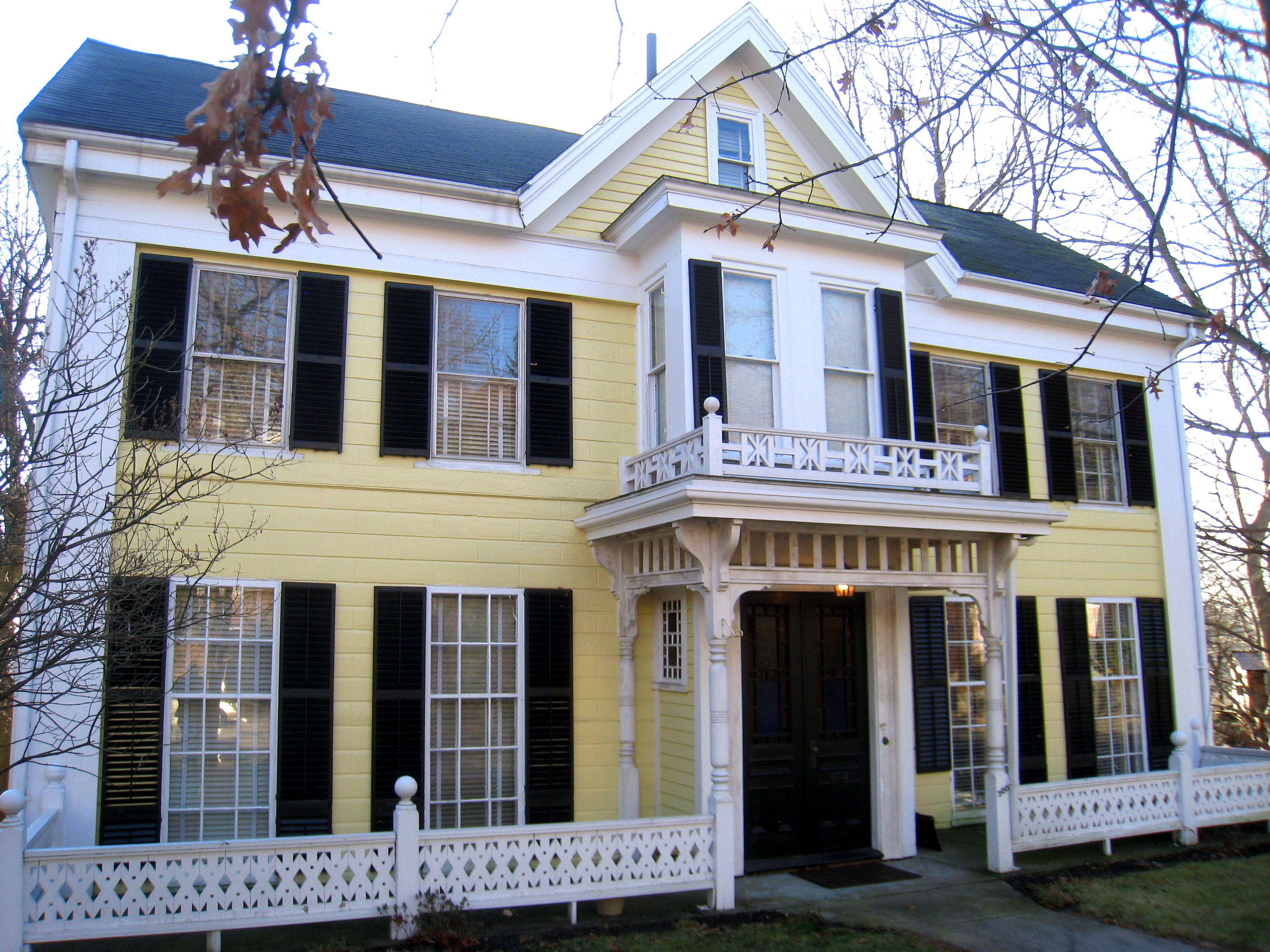
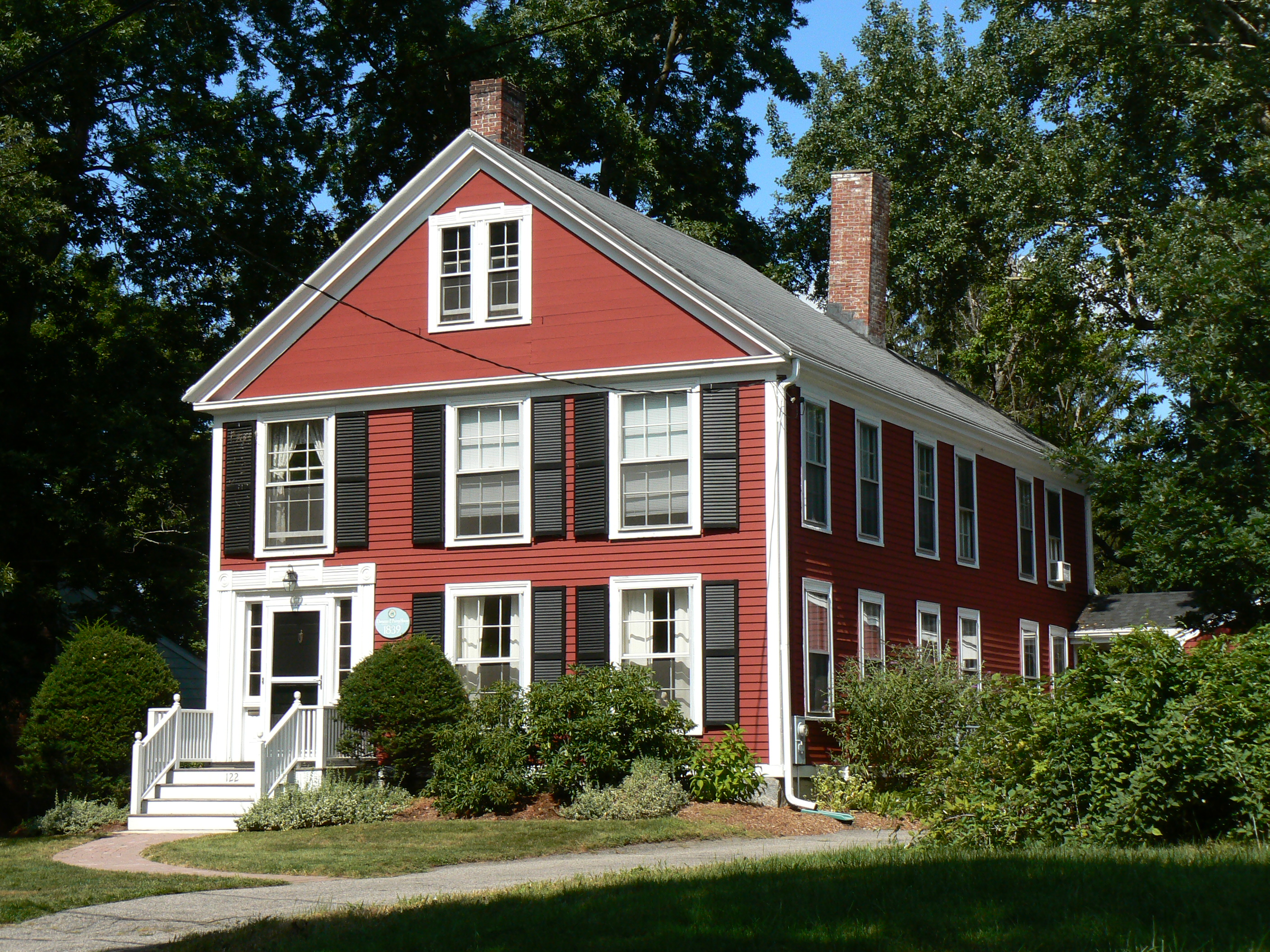
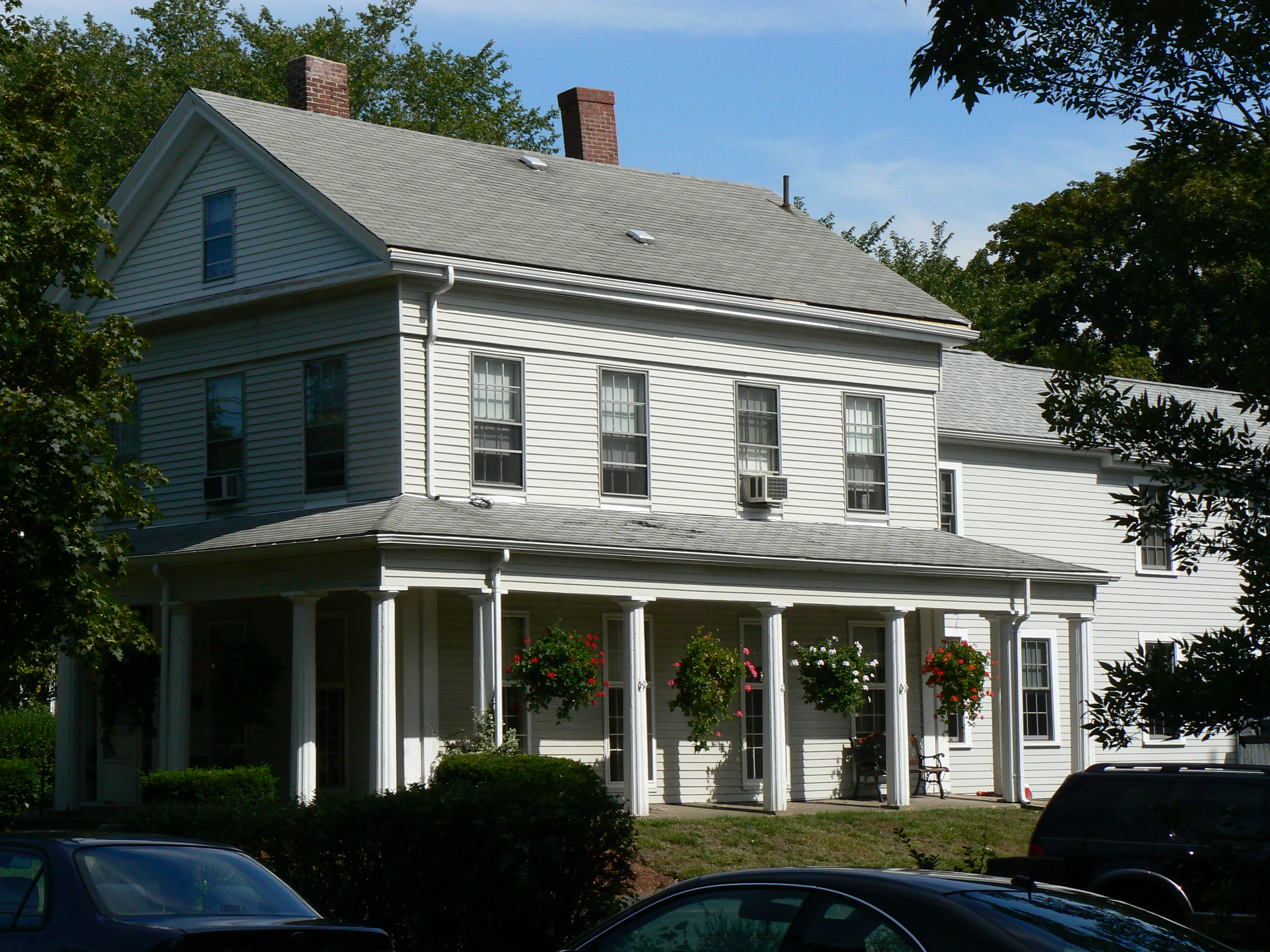
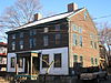
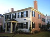
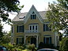
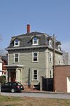
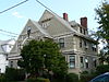
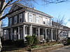
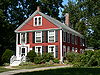
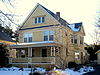
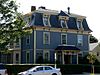
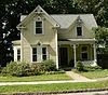
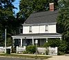
Allyn House |
 |
01985-09-27 September 27, 1985 |
94 Oakland Ave.
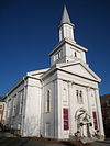
42°25′8″N 71°10′44″W / 42.41889°N 71.17889°W / 42.41889; -71.17889 (Allyn House) |
|
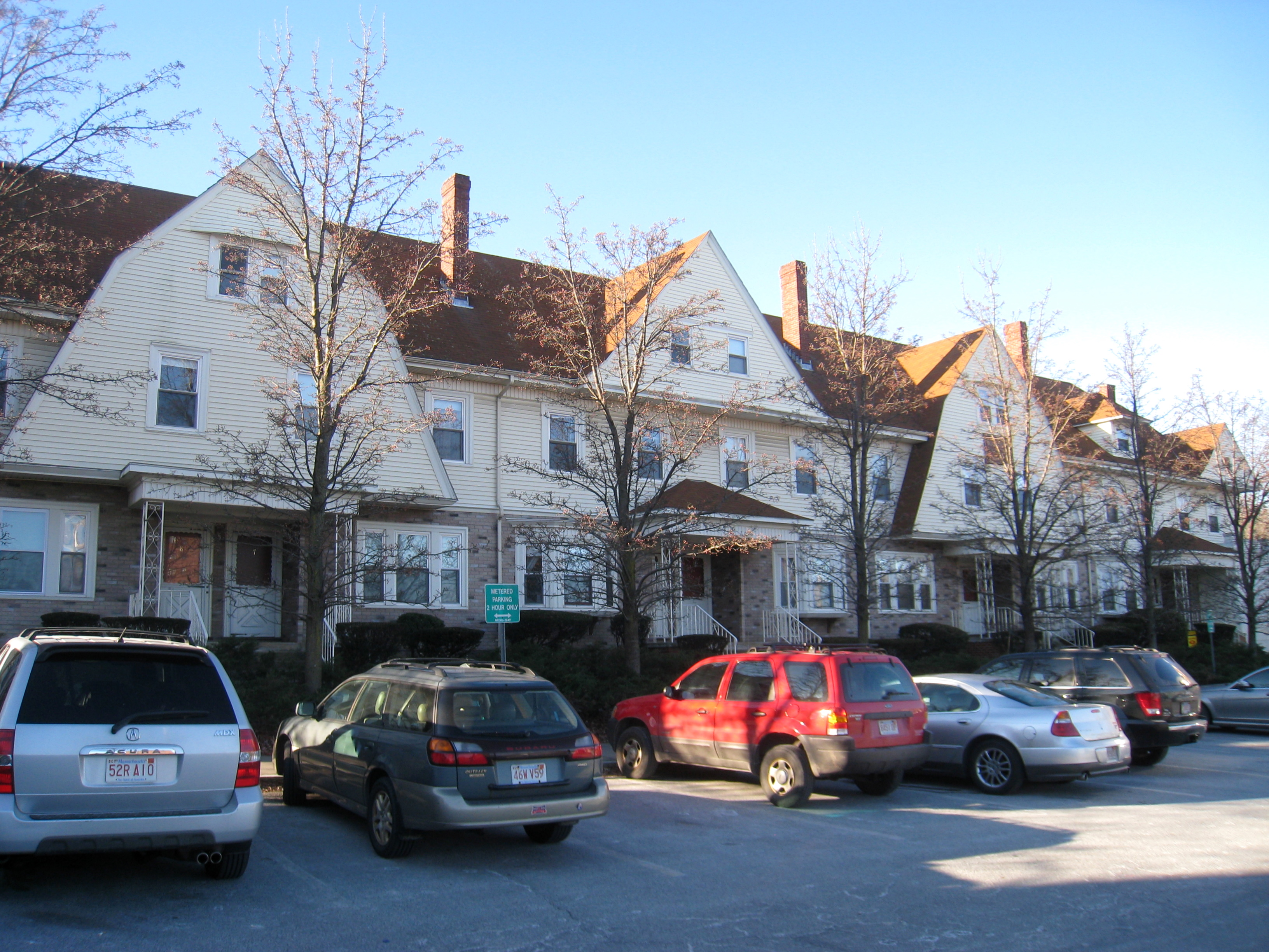
| 2 |
Arlington Center Historic District |
 |
01974-07-18 July 18, 1974 |
Bounded by Massachusetts Ave. and Academy, Pleasant, and Maple Sts.; also roughly bounded by Jason St., Massachusetts Ave., and Pleasant and Gray Sts.
42°24′53″N 71°9′21″W / 42.41472°N 71.15583°W / 42.41472; -71.15583 (Arlington Center Historic District) |
Second set of addresses represents a boundary increase |
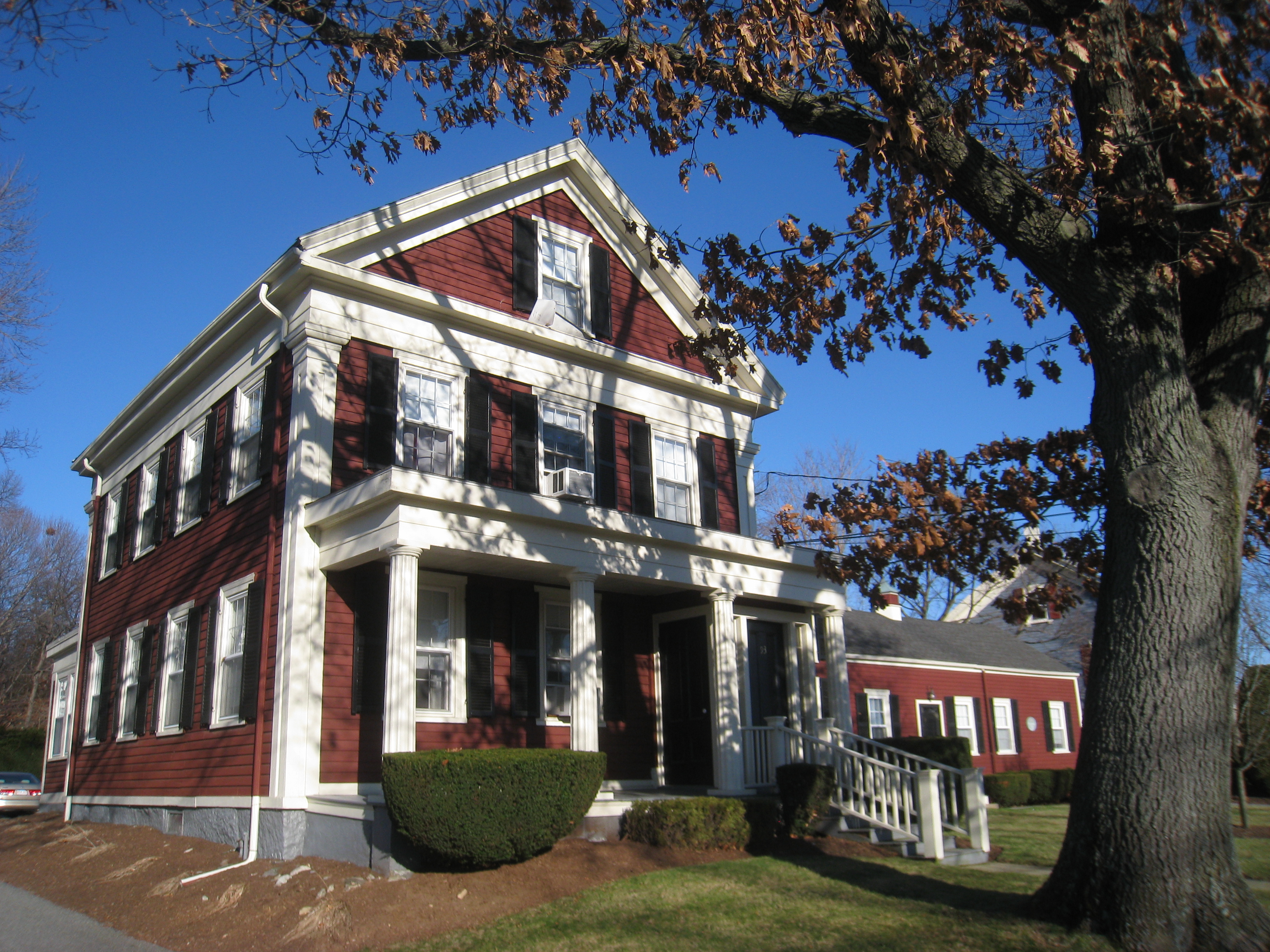
| 3 |
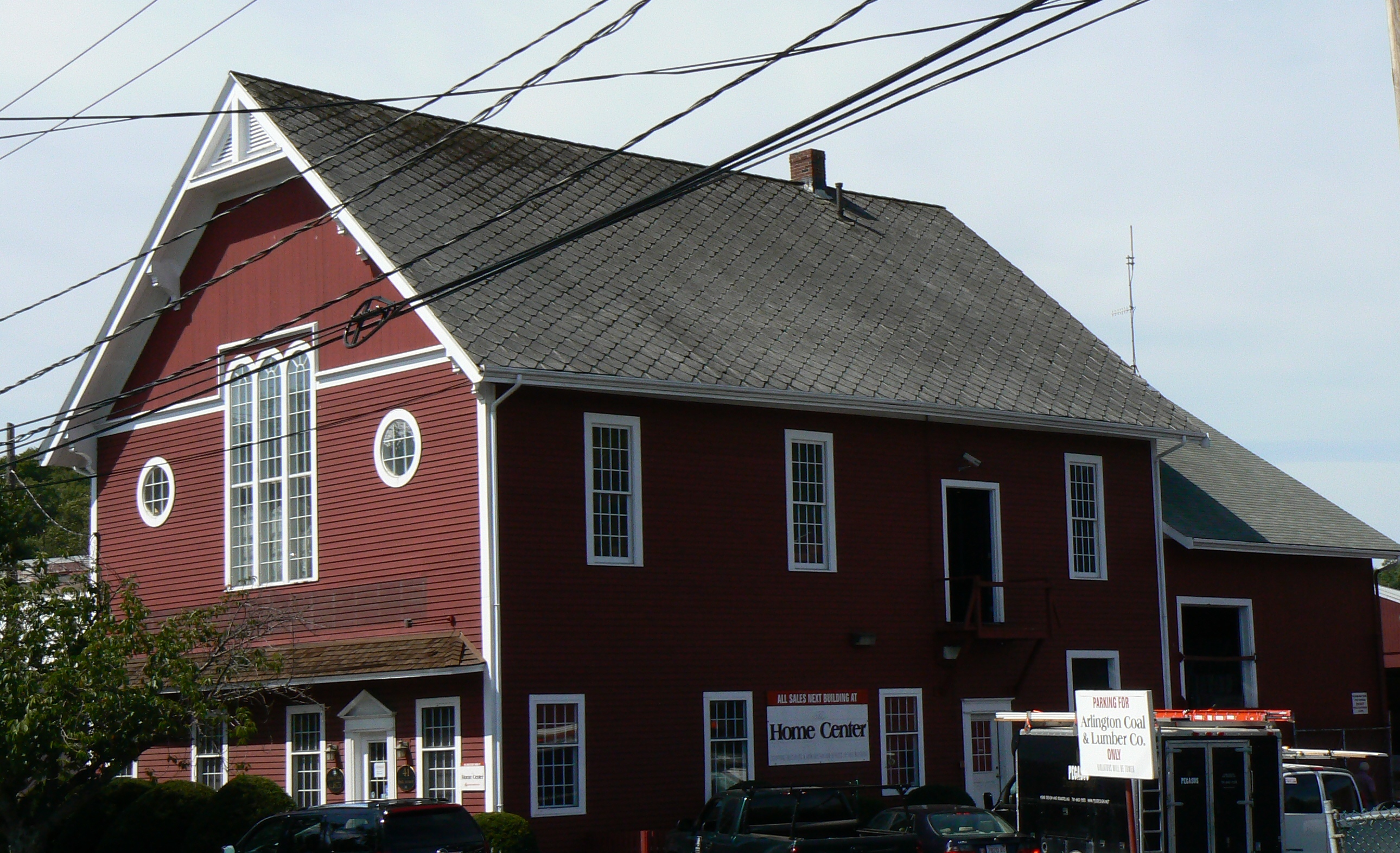
Arlington Coal & Lumber |
 |
01985-04-18 April 18, 1985 |
41 Park Ave.
42°25′29″N 71°11′0″W / 42.42472°N 71.183333°W / 42.42472; -71.183333 (Arlington Coal & Lumber) |
|
| 4 |
Arlington Gaslight Company |
 |
01985-04-18 April 18, 1985 |
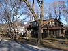
51 Grove St. (Town Yard)
42°25′16″N 71°10′9″W / 42.42111°N 71.16917°W / 42.42111; -71.16917 (Arlington Gaslight Company) |
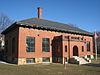
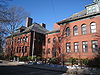
|
| 5 |
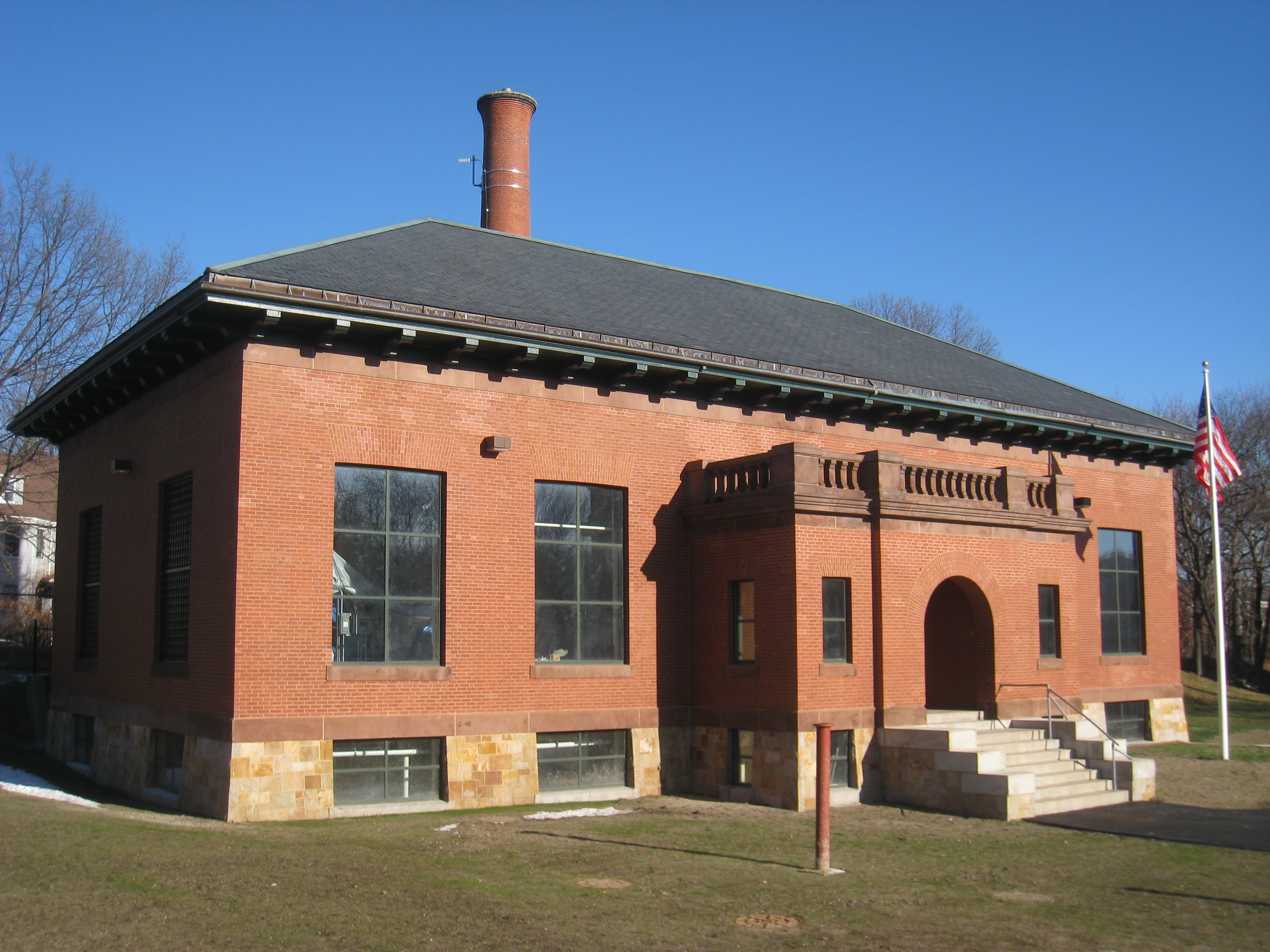
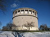
Arlington Pumping Station |
 |
01985-04-18 April 18, 1985 |
Brattle Court off Brattle St.
42°25′19″N 71°10′13″W / 42.42194°N 71.17028°W / 42.42194; -71.17028 (Arlington Pumping Station) |
|
| 6 |
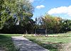
Arlington Reservoir |
 |
01985-09-27 September 27, 1985 |
Park Circle
42°24′52″N 71°11′34″W / 42.41444°N 71.19278°W / 42.41444; -71.19278 (Arlington Reservoir) |
|
| 7 |
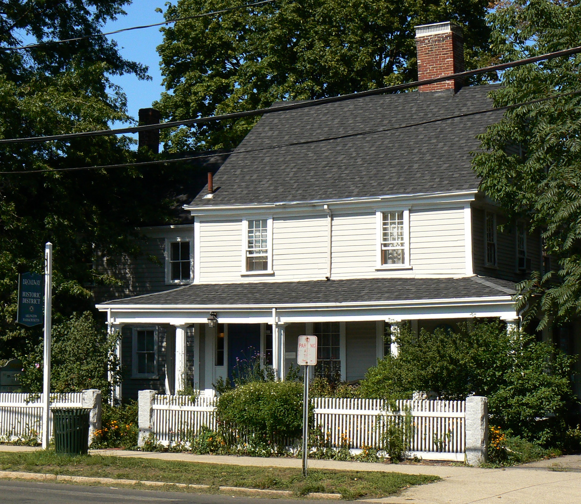
Baptist Society Meeting House |
 |
01985-04-18 April 18, 1985 |
3-5 Brattle St.
42°24′44″N 71°10′16″W / 42.41222°N 71.17111°W / 42.41222; -71.17111 (Baptist Society Meeting House) |
|
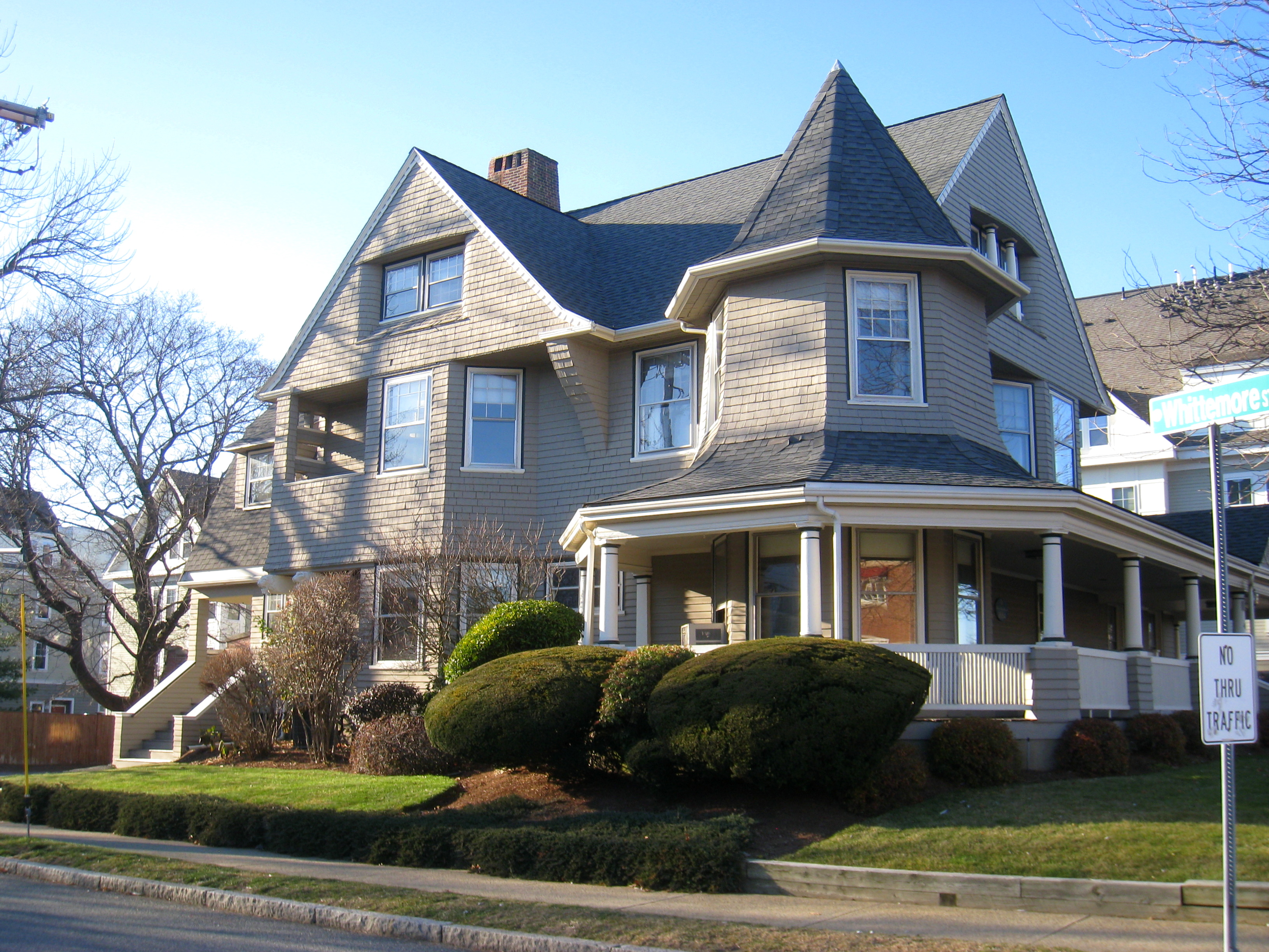
| 8 |
Maria Bassett House |
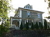 |
01985-09-27 September 27, 1985 |
8 College Ave.
42°25′40″N 71°9′14″W / 42.42778°N 71.15389°W / 42.42778; -71.15389 (Bassett, Maria, House) |
|
| 9 |
Butterfield-Whittemore House |
 |
01978-03-30 March 30, 1978 |
54 Massachusetts Ave.
42°24′6″N 71°8′18″W / 42.40167°N 71.13833°W / 42.40167; -71.13833 (Butterfield-Whittemore House) |
|
| 10 |
Call-Bartlett House |
 |
01985-04-18 April 18, 1985 |
216 Pleasant St.
42°24′32″N 71°9′35″W / 42.40889°N 71.15972°W / 42.40889; -71.15972 (Call-Bartlett House) |
|
| 11 |
Calvary Methodist Church |
 |
01983-06-23 June 23, 1983 |
300 Massachusetts Ave.
42°24′32″N 71°8′52″W / 42.40889°N 71.14778°W / 42.40889; -71.14778 (Calvary Methodist Church) |
|
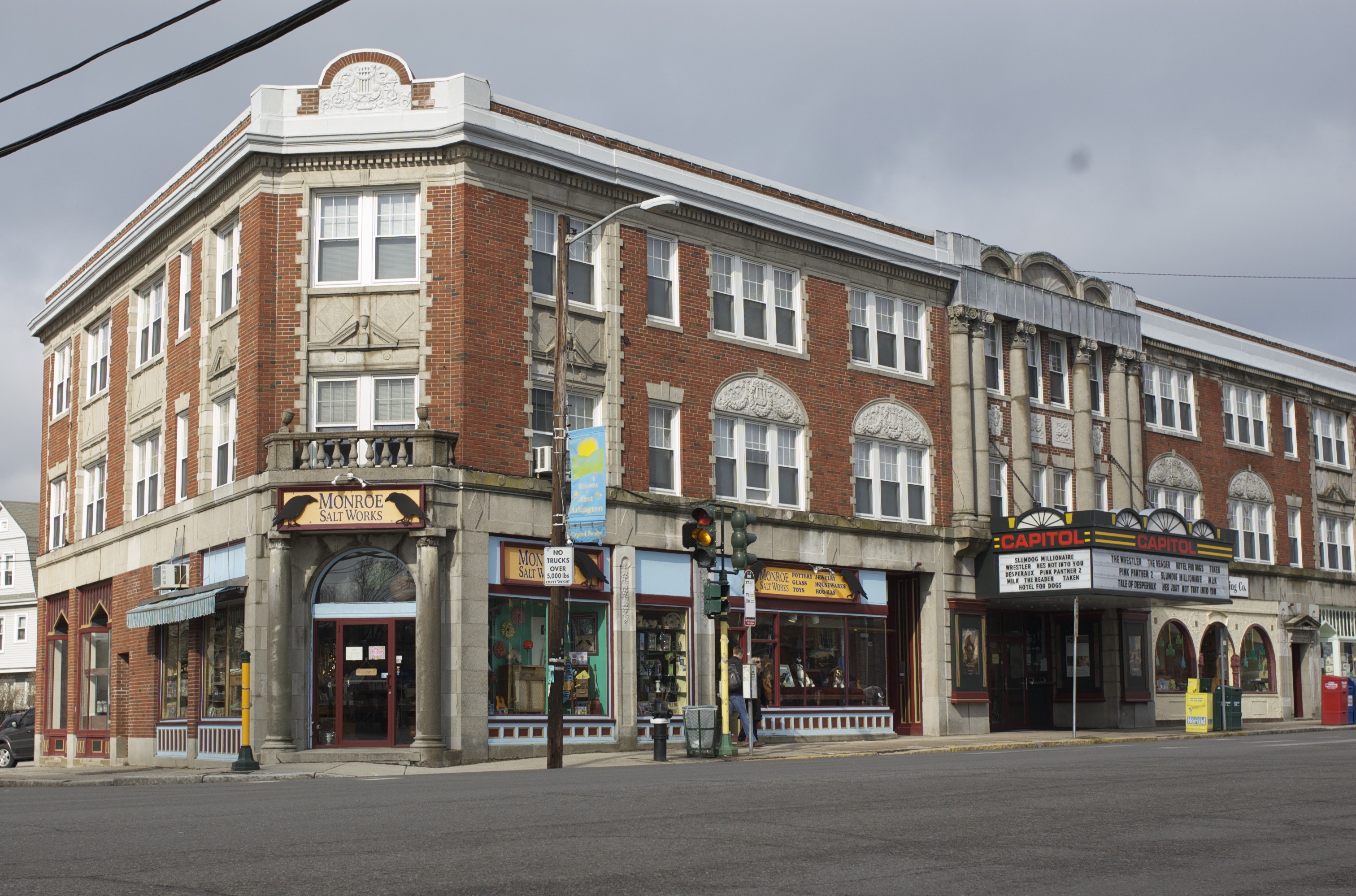
| 12 |
Capitol Theater Building |
 |
01985-04-18 April 18, 1985 |
202-208 Massachusetts Ave.
42°24′20″N 71°8′35″W / 42.40556°N 71.14306°W / 42.40556; -71.14306 (Capitol Theater Building) |
|
| 13 |
Chapel of St. Anne |
 |
01985-04-18 April 18, 1985 |
approximately 30 Claremont Ave.
42°25′24″N 71°11′3″W / 42.42333°N 71.18417°W / 42.42333; -71.18417 (Chapel of St. Anne) |
The chapel is on (or only accessible through) the grounds of the Germaine Lawrence School, but is visible from the street. |
| 14 |
Cushman House |
 |
01985-04-18 April 18, 1985 |
104 Bartlett Ave.
42°24′42″N 71°9′48″W / 42.41167°N 71.16333°W / 42.41167; -71.16333 (Cushman House) |
|
| 15 |
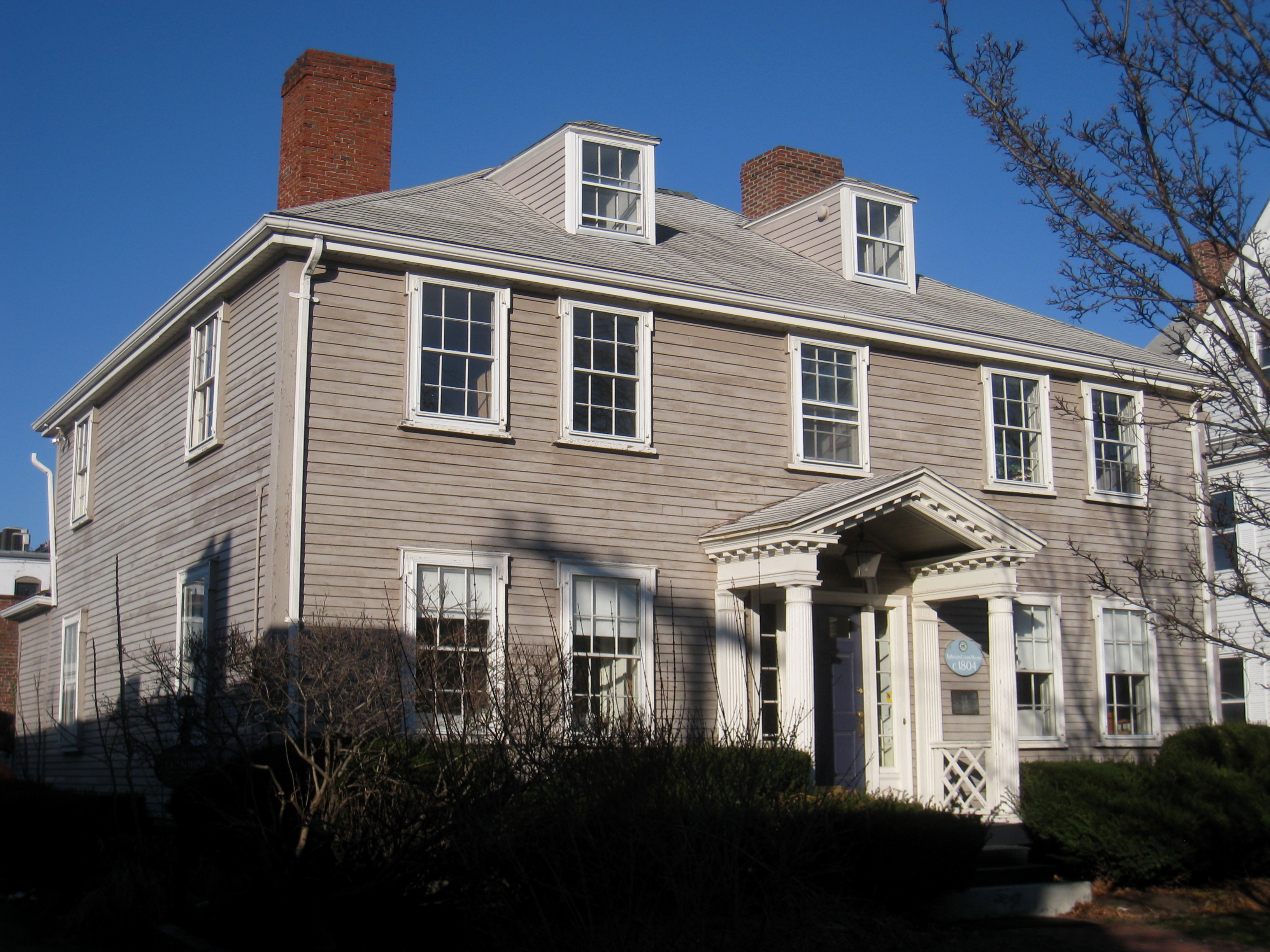
Ephraim Cutter House |
 |
01978-03-29 March 29, 1978 |
4 Water St.
42°24′59″N 71°9′19″W / 42.41639°N 71.15528°W / 42.41639; -71.15528 (Cutter, Ephraim, House) |
|
| 16 |
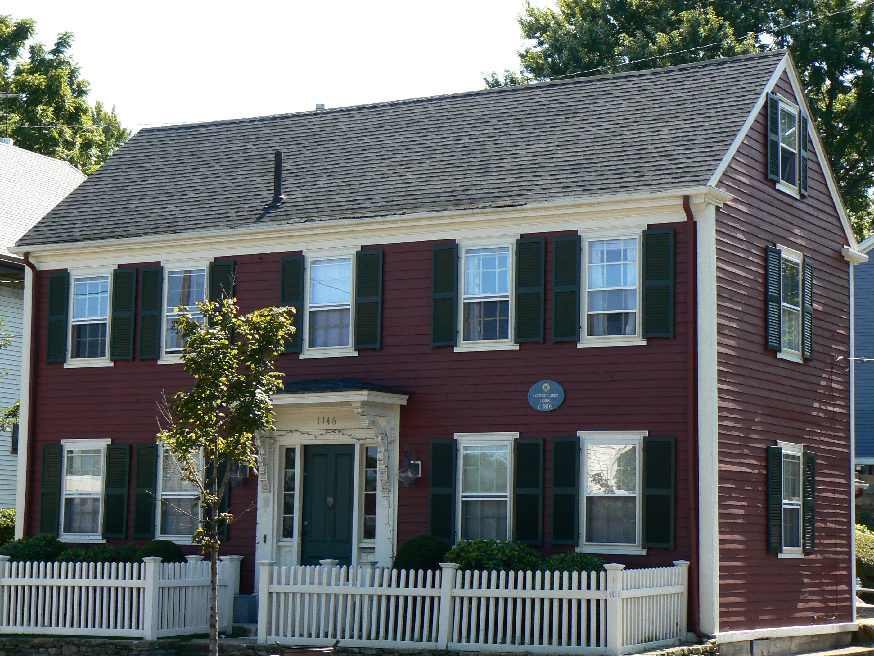
Gershom Cutter House |
 |
01999-11-12 November 12, 1999 |
1146 Massachusetts Ave.
42°25′11″N 71°10′11″W / 42.41972°N 71.16972°W / 42.41972; -71.16972 (Cutter, Gershom, House) |
|
| 17 |
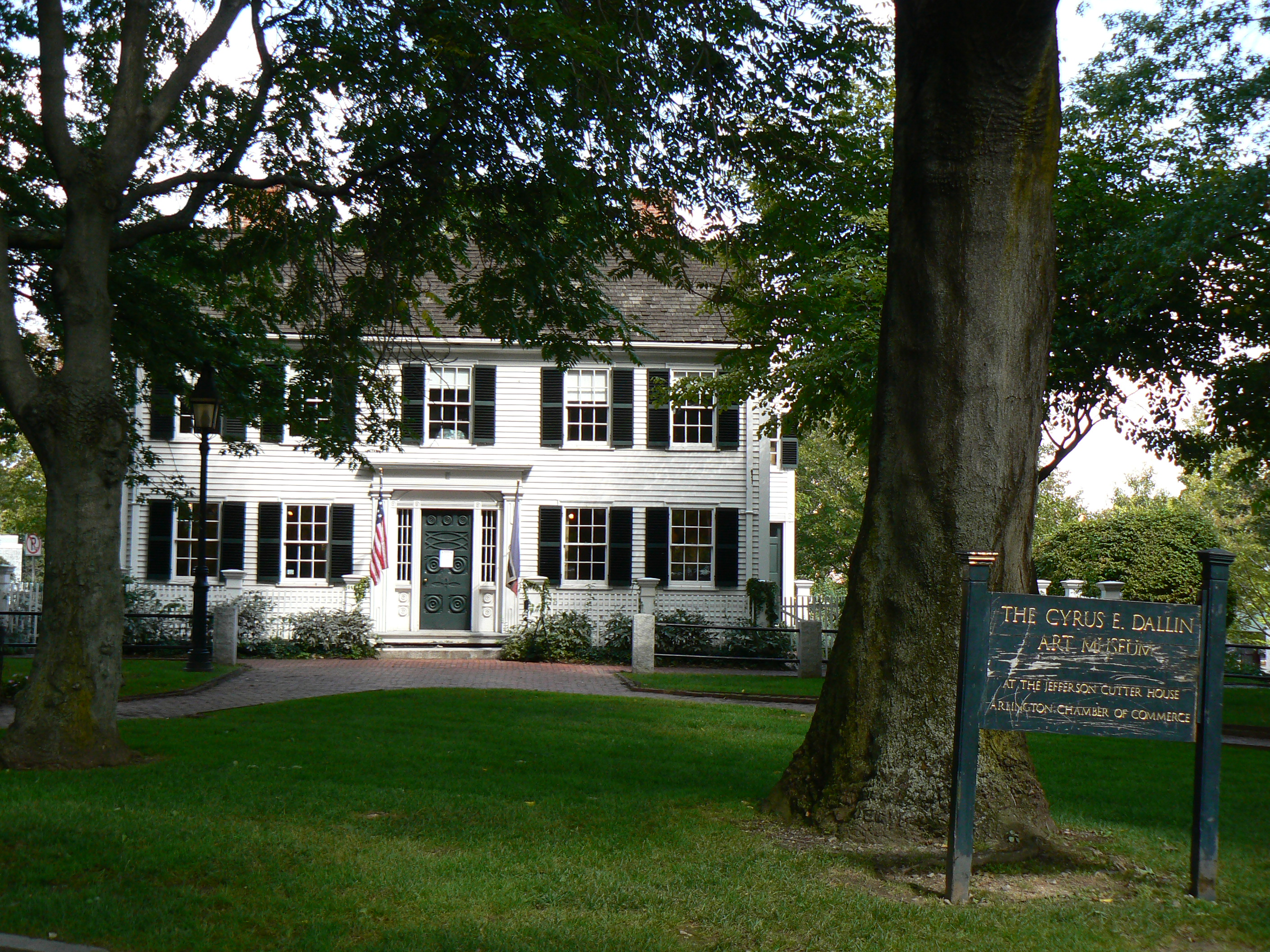
Jefferson Cutter House |
 |
01992-01-23 January 23, 1992 |
1 Whittemore Park
42°24′55″N 71°9′12″W / 42.41528°N 71.15333°W / 42.41528; -71.15333 (Cutter, Jefferson, House) |
|
| 18 |
Second A. P. Cutter House |
 |
01985-04-18 April 18, 1985 |
89 Summer St.
42°25′8″N 71°9′29″W / 42.41889°N 71.15806°W / 42.41889; -71.15806 (Cutter, Second, A. P., House) |
|
| 19 |
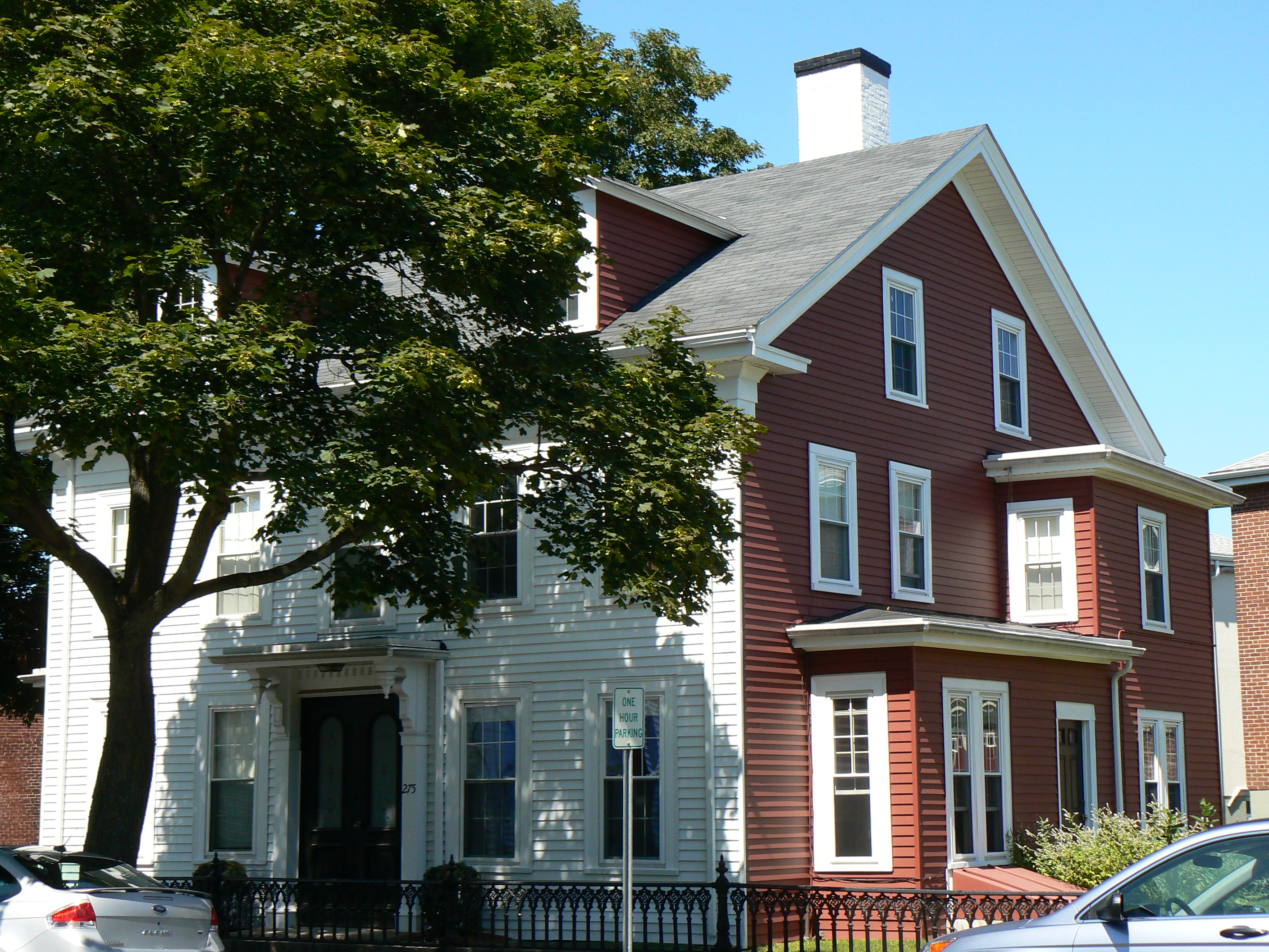
Damon House |
 |
01985-04-18 April 18, 1985 |
275 Broadway
42°24′49″N 71°8′55″W / 42.41361°N 71.14861°W / 42.41361; -71.14861 (Damon House) |
|
| 20 |
Kimball Farmer House |
 |
01985-04-18 April 18, 1985 |
1173 Massachusetts Ave.
42°25′24″N 71°10′30″W / 42.42333°N 71.175°W / 42.42333; -71.175 (Farmer, Kimball, House) |
|
| 21 |
First Parish Church Parsonage |
 |
01985-04-18 April 18, 1985 |
232-234 Pleasant St.
42°24′24″N 71°9′46″W / 42.40667°N 71.16278°W / 42.40667; -71.16278 (First Parish Church Parsonage) |
|
| 22 |
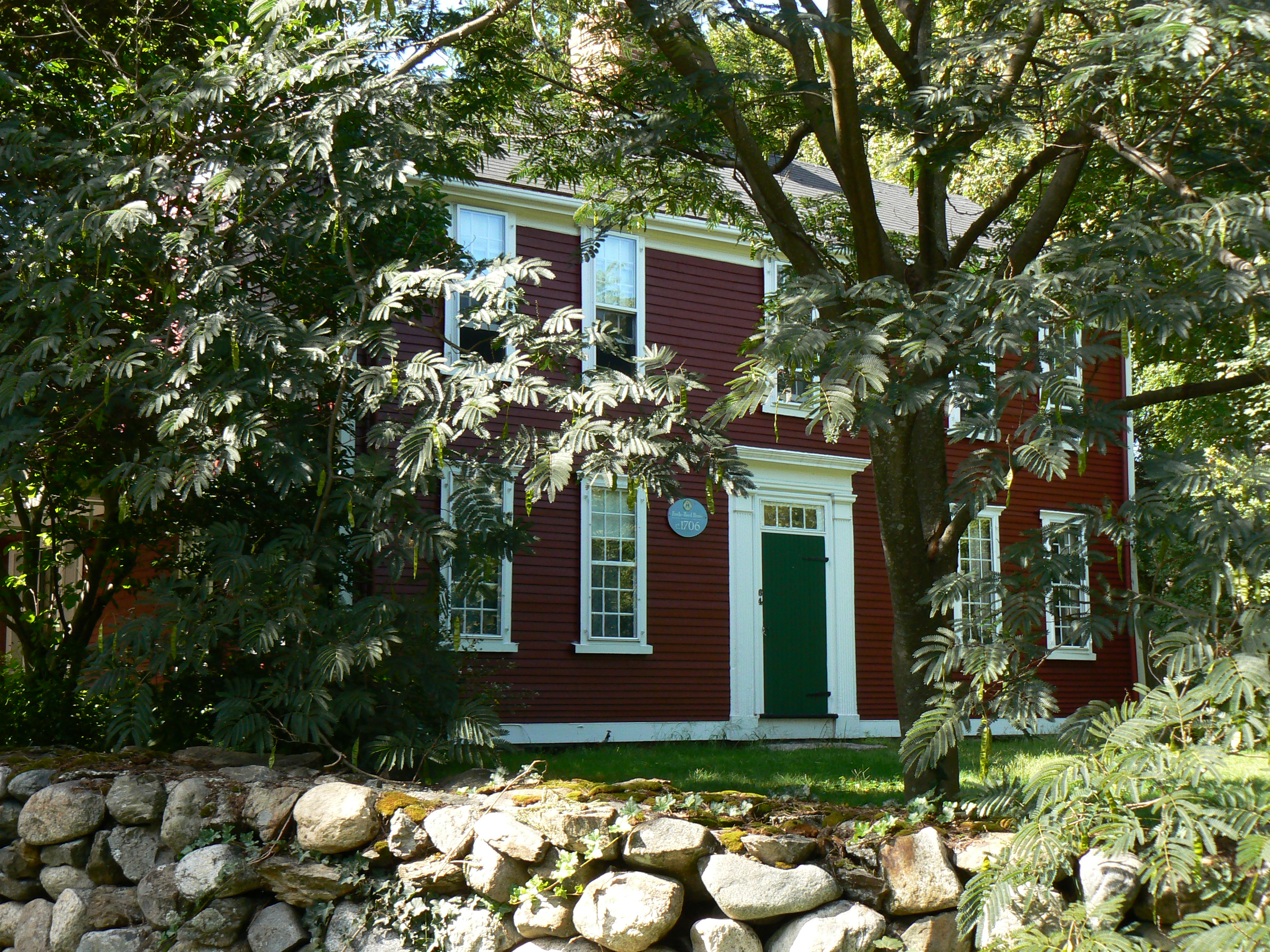
Fowle-Reed-Wyman House |
 |
01975-04-14 April 14, 1975 |
64 Old Mystic St.
42°25′54″N 71°9′25″W / 42.43167°N 71.15694°W / 42.43167; -71.15694 (Fowle-Reed-Wyman House) |
|
| 23 |
Greek Orthodox Church |
 |
01983-06-23 June 23, 1983 |
735 Massachusetts Ave.
42°24′59″N 71°9′27″W / 42.41639°N 71.1575°W / 42.41639; -71.1575 (Greek Orthodox Church) |
|
| 24 |
Edward Hall House |
 |
01985-04-18 April 18, 1985 |
187 Pleasant St.
42°24′32″N 71°9′36″W / 42.40889°N 71.16°W / 42.40889; -71.16 (Hall, Edward, House) |
|
| 25 |
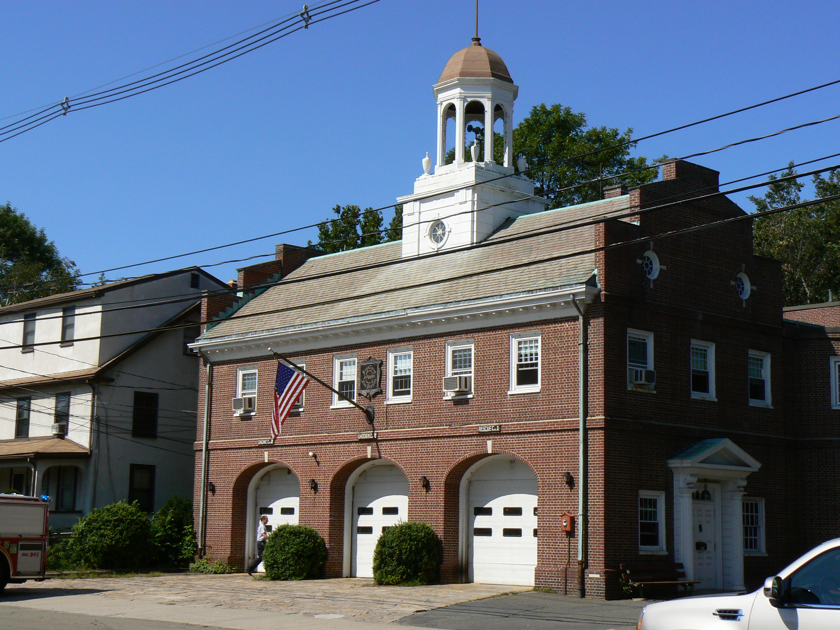
Highland Hose House |
 |
01985-04-18 April 18, 1985 |
1007 Massachusetts Ave.
42°25′11″N 71°10′8″W / 42.41972°N 71.16889°W / 42.41972; -71.16889 (Highland Hose House) |
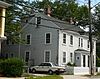
This is a fire station. |
| 26 |
Addison Hill House |
 |
01985-09-27 September 27, 1985 |
83 Appleton St.
42°25′22″N 71°10′52″W / 42.42278°N 71.18111°W / 42.42278; -71.18111 (Hill, Addison, House) |
|
| 27 |
Edward Hornblower House and Barn |
 |
01985-04-18 April 18, 1985 |
200 Pleasant St.
42°24′30″N 71°9′36″W / 42.40833°N 71.16°W / 42.40833; -71.16 (Hornblower, Edward, House and Barn) |
|
| 28 |
House at 45 Claremont Avenue |
 |
01985-04-18 April 18, 1985 |
45 Claremont Ave.
42°25′13.38″N 71°11′7.28″W / 42.4203833°N 71.1853556°W / 42.4203833; -71.1853556 (House at 45 Claremont Avenue) |
|
| 29 |
House at 5 Willow Court |
 |
01985-04-18 April 18, 1985 |
5 Willow Court
42°25′1″N 71°9′33″W / 42.41694°N 71.15917°W / 42.41694; -71.15917 (House at 5 Willow Court) |
|
| 30 |
House at 5-7 Winter Street |
 |
01985-04-18 April 18, 1985 |
5-7 Winter St.
42°24′22″N 71°8′32″W / 42.40611°N 71.14222°W / 42.40611; -71.14222 (House at 5–7 Winter Street) |
|
| 31 |
Kensington Park Historic District |
 |
01985-09-27 September 27, 1985 |
Roughly bounded by Kensington Park, Brantwood, and Kensington Rds.
42°24′35.74″N 71°9′38.91″W / 42.4099278°N 71.1608083°W / 42.4099278; -71.1608083 (Kensington Park Historic District) |
|
| 32 |
W.W. Kimball House |
 |
01985-04-18 April 18, 1985 |
13 Winter St.
42°24′23″N 71°8′30″W / 42.40639°N 71.14167°W / 42.40639; -71.14167 (Kimball, W.W., House) |
|
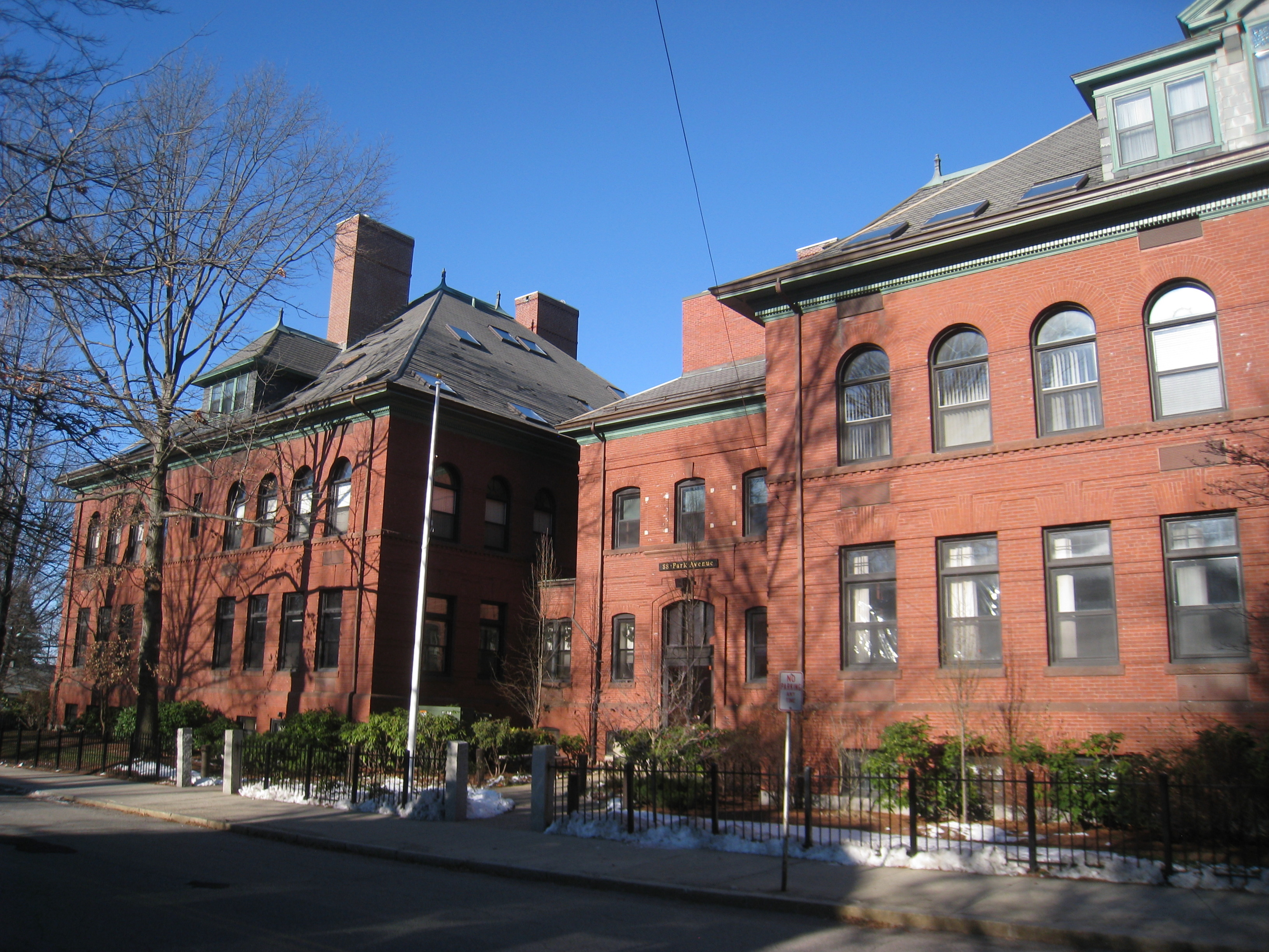
| 33 |
Locke School |
 |
01985-09-27 September 27, 1985 |
88 Park Ave.
42°24′52″N 71°10′58″W / 42.41444°N 71.18278°W / 42.41444; -71.18278 (Locke School) |
|
| 34 |
Capt. Benjamin Locke House |
 |
01978-07-21 July 21, 1978 |
21 Appleton St.
42°25′24″N 71°10′39″W / 42.42333°N 71.1775°W / 42.42333; -71.1775 (Locke, Capt. Benjamin, House) |
|
| 35 |
Lt. Benjamin Locke Store |
 |
01985-04-18 April 18, 1985 |
11-13 Lowell St.
42°25′26″N 71°10′40″W / 42.42389°N 71.17778°W / 42.42389; -71.17778 (Locke, Lt. Benjamin, Store) |
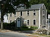
This structure is currently a two-family house. |
| 36 |
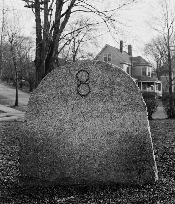
Milestone |
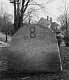 |
01985-09-27 September 27, 1985 |
Appleton St. and Paul Revere Rd.
42°25′22.1″N 71°10′52.8″W / 42.422806°N 71.181333°W / 42.422806; -71.181333 (Milestone) |
The stone is located in a small triangular island in the intersection. |
| 37 |
Mystic Valley Parkway, Metropolitan Park System of Greater Boston MPS |
 |
02006-01-18 January 18, 2006 |
Mystic Valley Parkway
42°25′7.33″N 71°8′32.94″W / 42.4187028°N 71.1424833°W / 42.4187028; -71.1424833 (Mystic Valley Parkway, Metropolitan Park System of Greater Boston MPS) |
The Arlington section of the Mystic Valley Parkway runs from the intersection of Summer St. and Mystic Ave. (Route 2A and Route 3) north and then roughly ESE along the Mystic River to the junction with Alewife Brook Parkway in Somerville, thence back into Medford. |
| 38 |
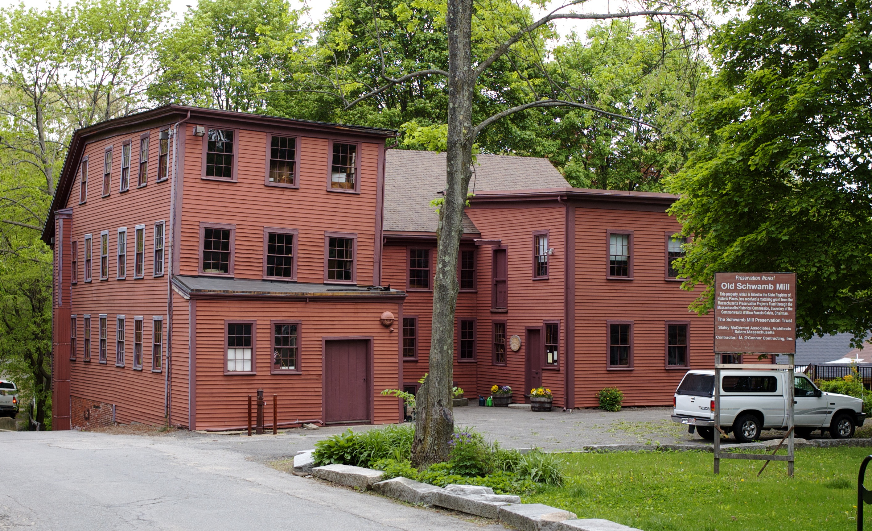
Old Schwamb Mill |
 |
01971-10-07 October 7, 1971 |
17 Mill Lane and 29 Lowell St.
42°25′30″N 71°10′42″W / 42.425°N 71.17833°W / 42.425; -71.17833 (Old Schwamb Mill) |
|
| 39 |
Orvis Road Historic District |
 |
01985-09-27 September 27, 1985 |
Roughly bounded by Massachusetts Ave. and Freeman, Randolph, and Newcomb Sts. on Orvis Rd.
42°24′21″N 71°8′45″W / 42.40583°N 71.14583°W / 42.40583; -71.14583 (Orvis Road Historic District) |
|
| 40 |
Pierce Farm Historic District |
 |
01985-09-27 September 27, 1985 |
Roughly bounded by Claremont and Oakland Aves.
42°25′0″N 71°11′1″W / 42.416667°N 71.18361°W / 42.416667; -71.18361 (Pierce Farm Historic District) |
|
| 41 |
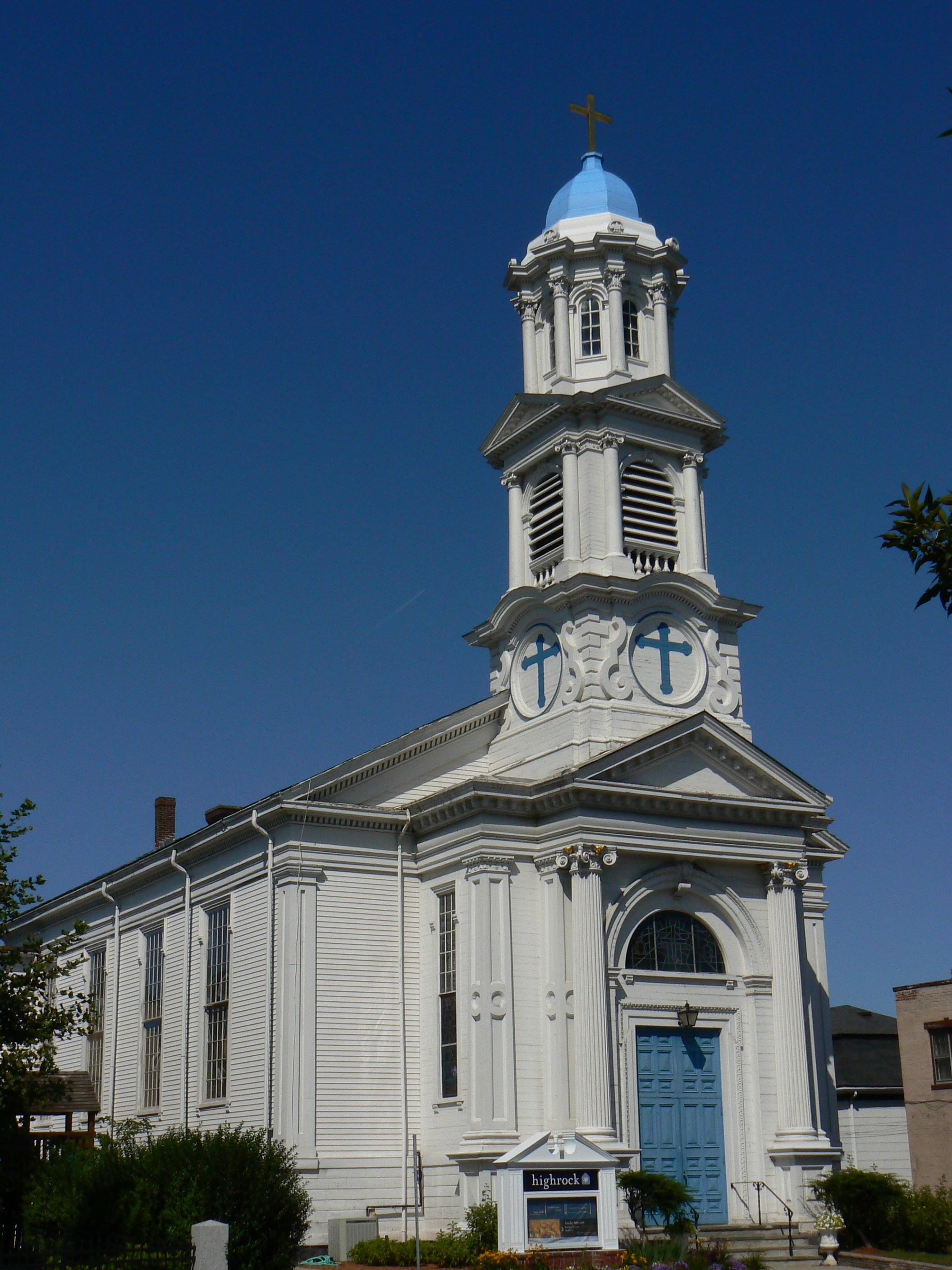
Pleasant Street Congregational Church |
 |
01983-06-23 June 23, 1983 |
75 Pleasant St.
42°24′50″N 71°9′23″W / 42.41389°N 71.15639°W / 42.41389; -71.15639 (Pleasant Street Congregational Church) |
Built in 1844[4] |
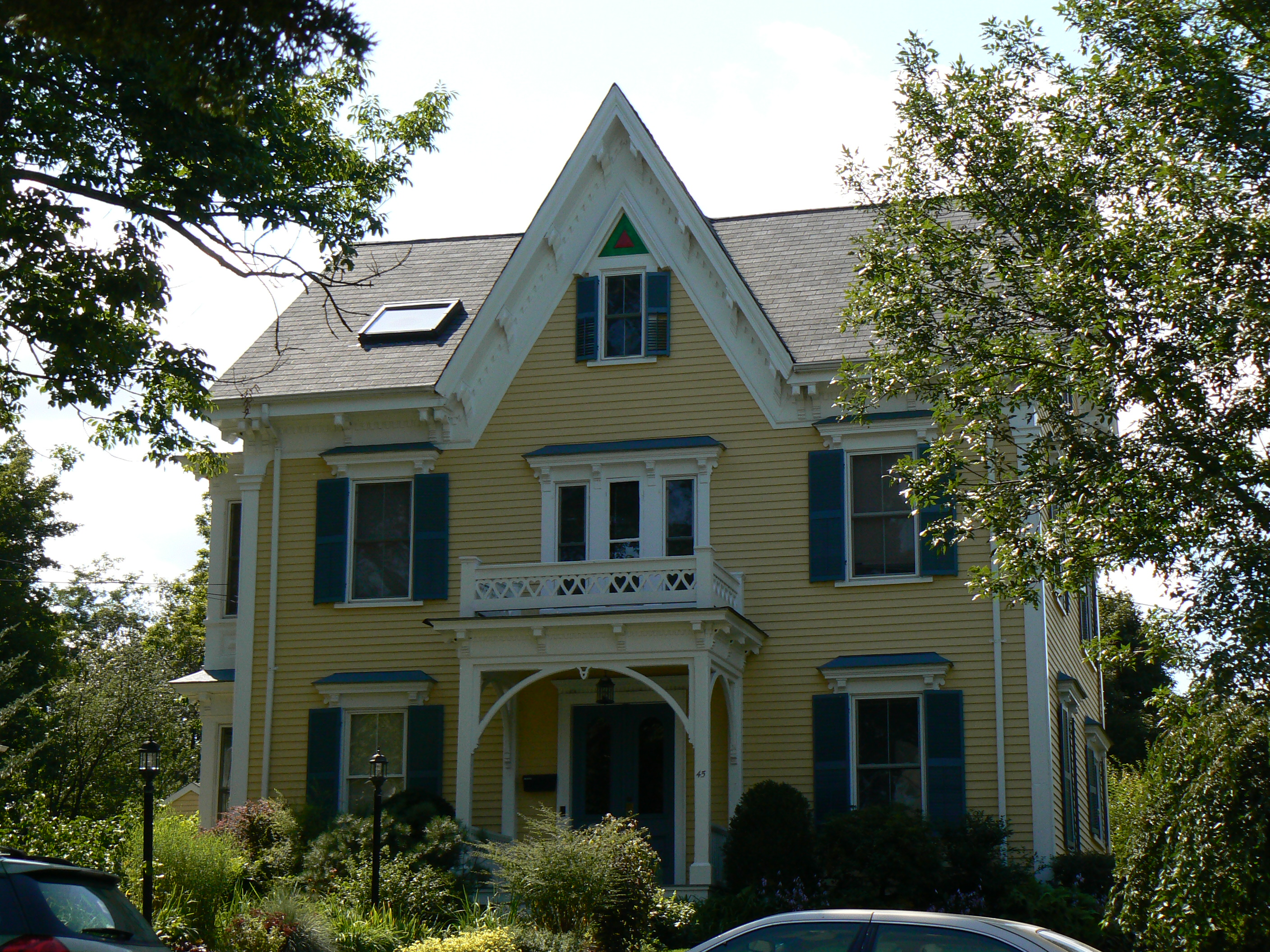
| 42 |
William Prentiss House |
 |
01985-09-27 September 27, 1985 |
252 Gray St.
42°24′59″N 71°10′21″W / 42.41639°N 71.1725°W / 42.41639; -71.1725 (Prentiss, William, House) |
|
| 43 |
Prentiss-Payson House |
 |
01985-04-18 April 18, 1985 |
224-226 Pleasant St.
42°24′25″N 71°9′43″W / 42.40694°N 71.16194°W / 42.40694; -71.16194 (Prentiss-Payson House) |
|
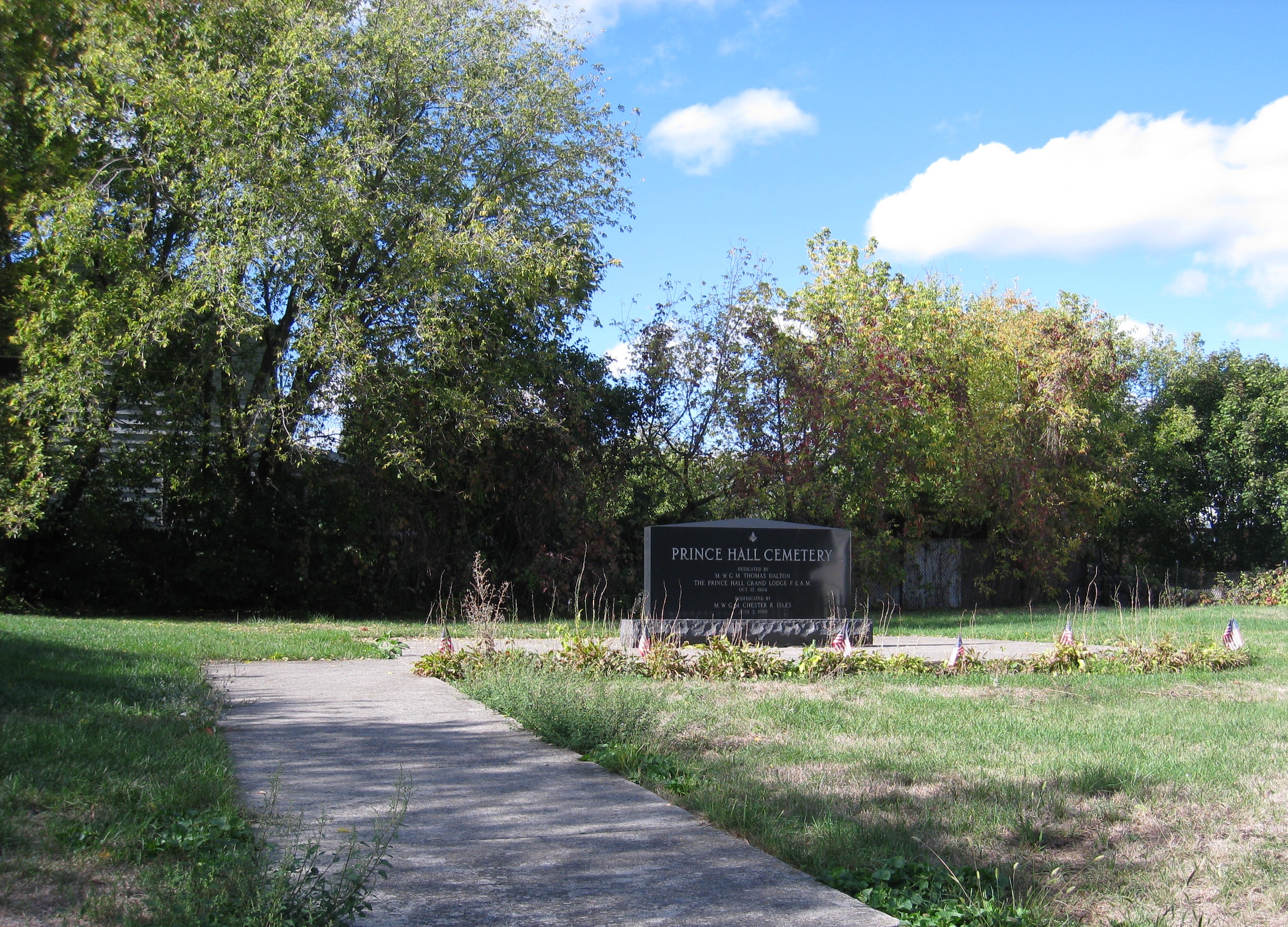
| 44 |
Prince Hall Mystic Cemetery |
 |
01998-11-25 November 25, 1998 |
Gardner St.[5] |
|
| 45 |
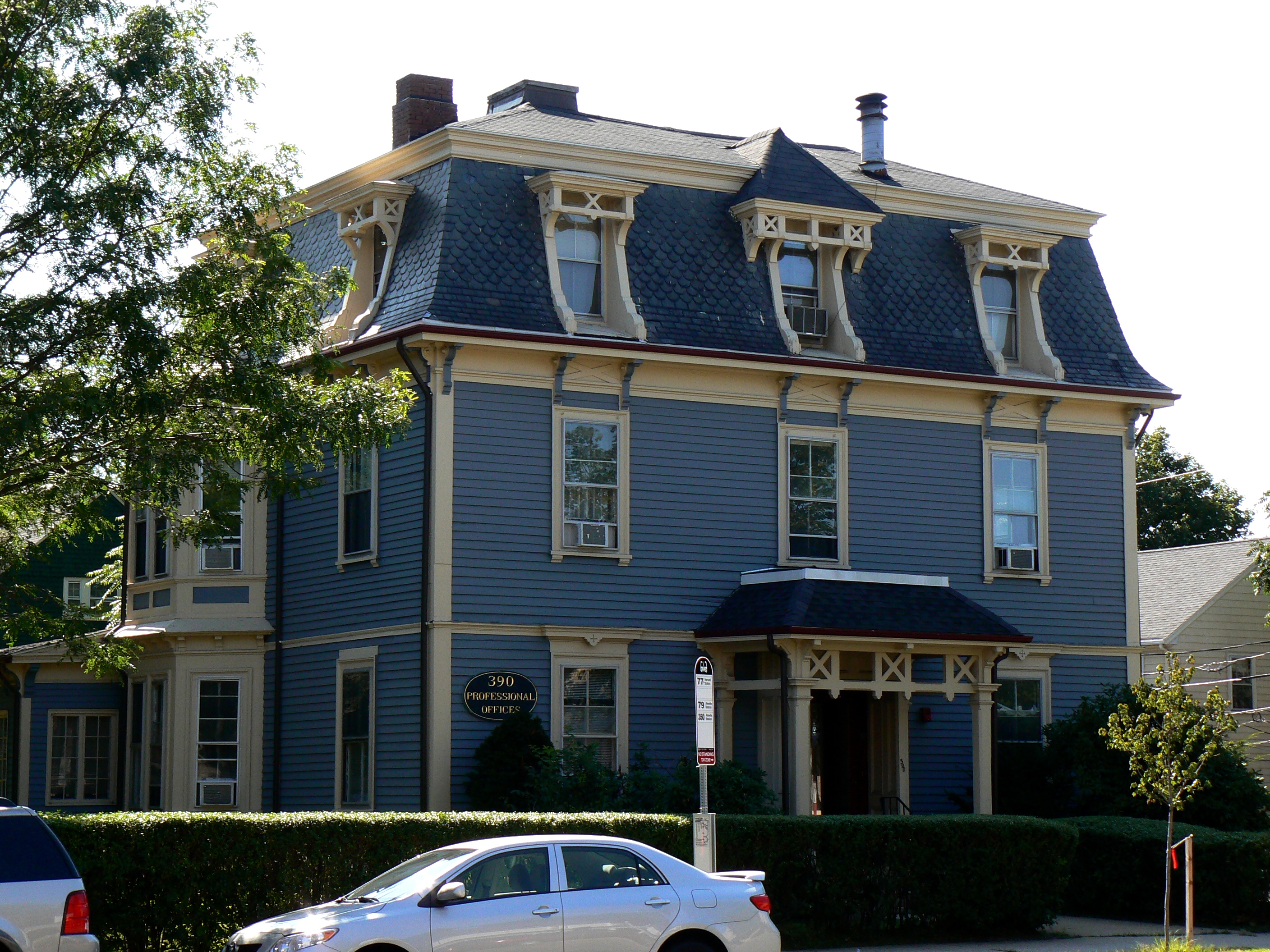
William Proctor House |
 |
01985-04-18 April 18, 1985 |
390 Massachusetts Ave.
42°24′45″N 71°9′44″W / 42.4125°N 71.16222°W / 42.4125; -71.16222 (Proctor, William, House) |
|
| 46 |
Warren Rawson Building |
 |
01985-09-27 September 27, 1985 |
68-74 Franklin St.
42°24′57″N 71°8′49″W / 42.41583°N 71.14694°W / 42.41583; -71.14694 (Rawson, Warren, Building) |
|
| 47 |
Warren Rawson House |
 |
01985-04-18 April 18, 1985 |
37-49 Park St.
42°24′52″N 71°8′35″W / 42.41444°N 71.14306°W / 42.41444; -71.14306 (Rawson, Warren, House) |
|
| 48 |
Alfred E. Robindreau House |
 |
01985-04-18 April 18, 1985 |
28 Lafayette St.
42°24′3″N 71°8′20″W / 42.40083°N 71.13889°W / 42.40083; -71.13889 (Robindreau, Alfred E., House) |
|
| 49 |
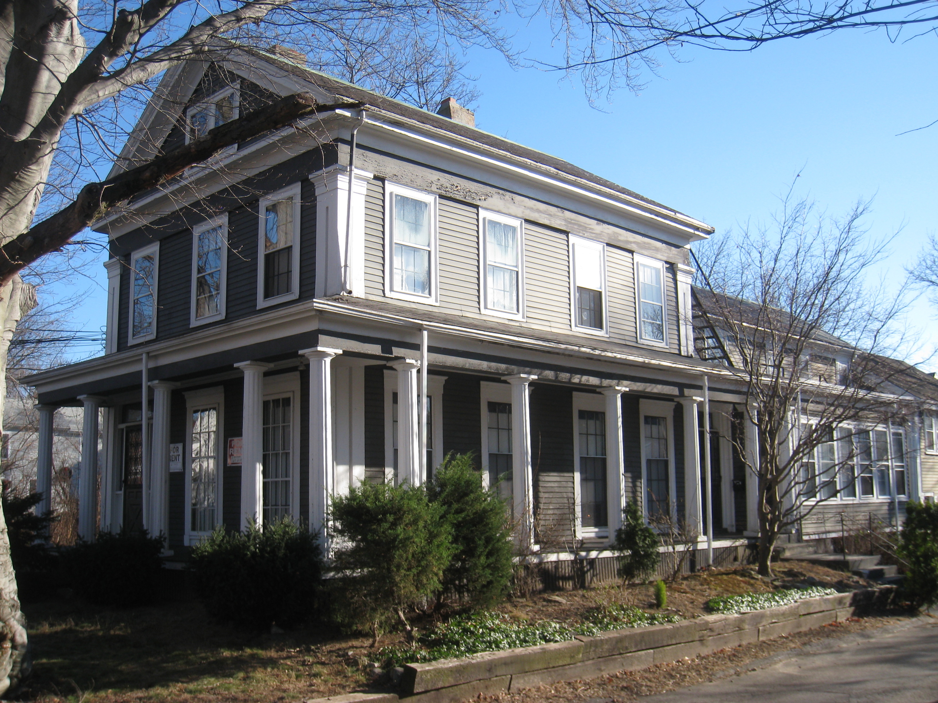
Robinson House |
 |
01985-04-18 April 18, 1985 |
19 Winter St.
42°24′25″N 71°8′28″W / 42.40694°N 71.14111°W / 42.40694; -71.14111 (Robinson House) |
|
| 50 |
Robinson-Lewis-G. F. Fessenden House |
 |
01985-04-18 April 18, 1985 |
40 Westminster Ave.
42°25′38″N 71°11′6″W / 42.42722°N 71.185°W / 42.42722; -71.185 (Robinson-Lewis-G. F. Fessenden House) |
|
| 51 |
Russell Common |
 |
01985-04-18 April 18, 1985 |
2-10 Park Terrace
42°24′56″N 71°9′9″W / 42.41556°N 71.1525°W / 42.41556; -71.1525 (Russell Common) |
This is a row house located just northeast of the center of town, behind the retail stores on Massachusetts Ave. It is accessible from the municipal lot behind the Jefferson Cutter House (entries from Mystic St. and Medford St.) |
| 52 |
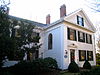
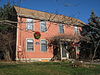
Jason Russell House |
 |
01974-10-09 October 9, 1974 |
7 Jason St.
42°24′58″N 71°9′31″W / 42.41611°N 71.15861°W / 42.41611; -71.15861 (Russell, Jason House) |
|
| 53 |
Ralph W. Shattuck House |
 |
01985-09-27 September 27, 1985 |
274-276 Broadway
42°24′48″N 71°8′56″W / 42.41333°N 71.14889°W / 42.41333; -71.14889 (Shattuck, Ralph W., House) |
|
| 54 |
Ella Mahalla Cutter Sterling House |
 |
01985-04-18 April 18, 1985 |
93 Summer St.
42°25′8″N 71°9′28″W / 42.41889°N 71.15778°W / 42.41889; -71.15778 (Sterling, Ella Mahalla Cutter, House) |
|
| 55 |
Thomas Swadkins House |
 |
01985-04-18 April 18, 1985 |
160 Westminster Ave.
42°25′48″N 71°11′13″W / 42.43°N 71.18694°W / 42.43; -71.18694 (Swadkins, Thomas, House) |
|
| 56 |
Henry Swan House |
 |
01985-09-27 September 27, 1985 |
418 Massachusetts Ave.
42°24′49″N 71°9′3″W / 42.41361°N 71.15083°W / 42.41361; -71.15083 (Swan, Henry, House) |
|
| 57 |
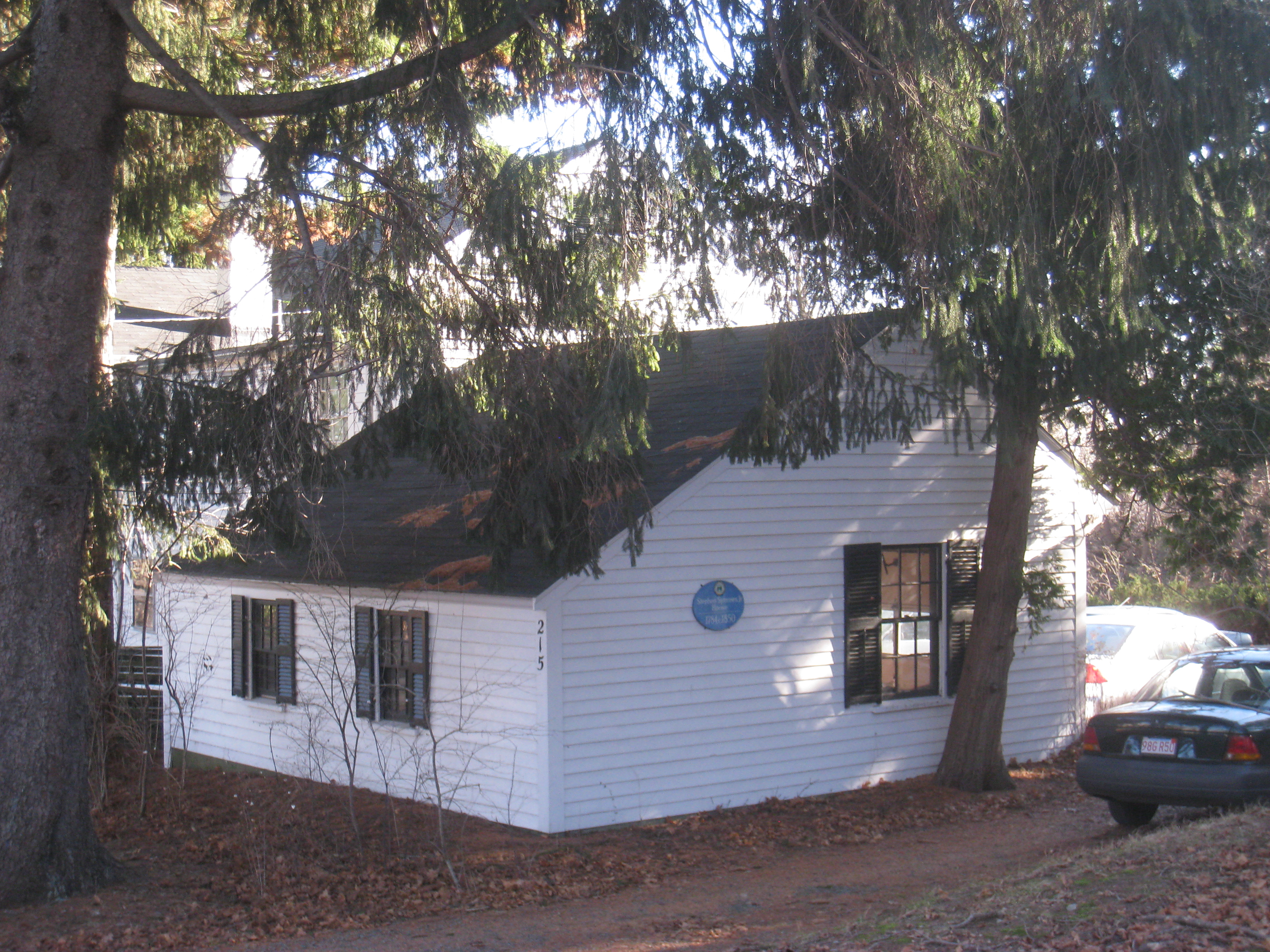
Stephen Symmes, Jr. House |
 |
01985-04-18 April 18, 1985 |
215 Crosby St.
42°25′49″N 71°9′23″W / 42.43028°N 71.15639°W / 42.43028; -71.15639 (Symmes, Stephen, Jr., House) |
|
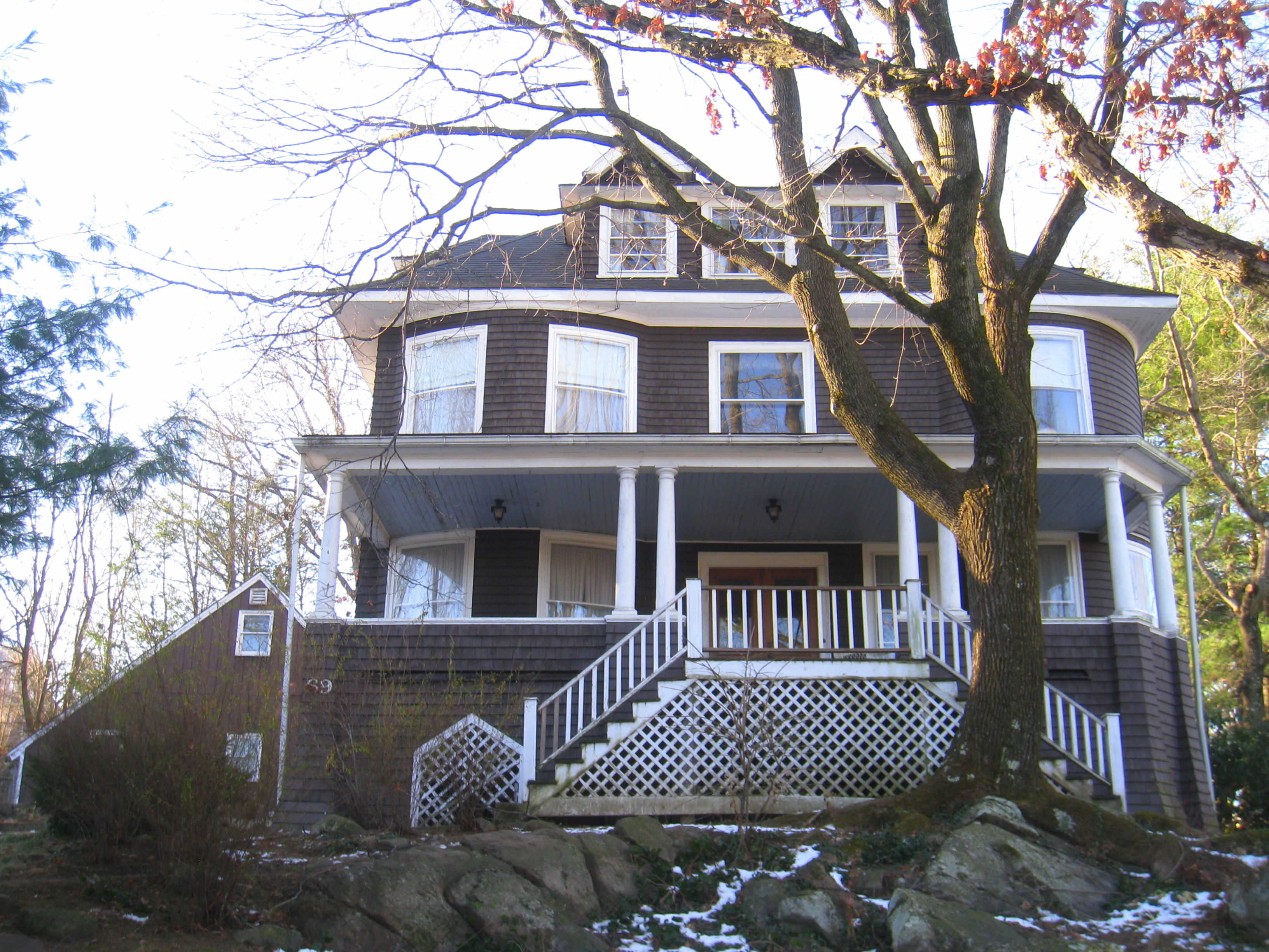
| 58 |
Taylor-Dallin House |
 |
01985-09-27 September 27, 1985 |
69 Oakland Ave.
42°25′11″N 71°10′45″W / 42.41972°N 71.17917°W / 42.41972; -71.17917 (Taylor-Dallin House) |
|
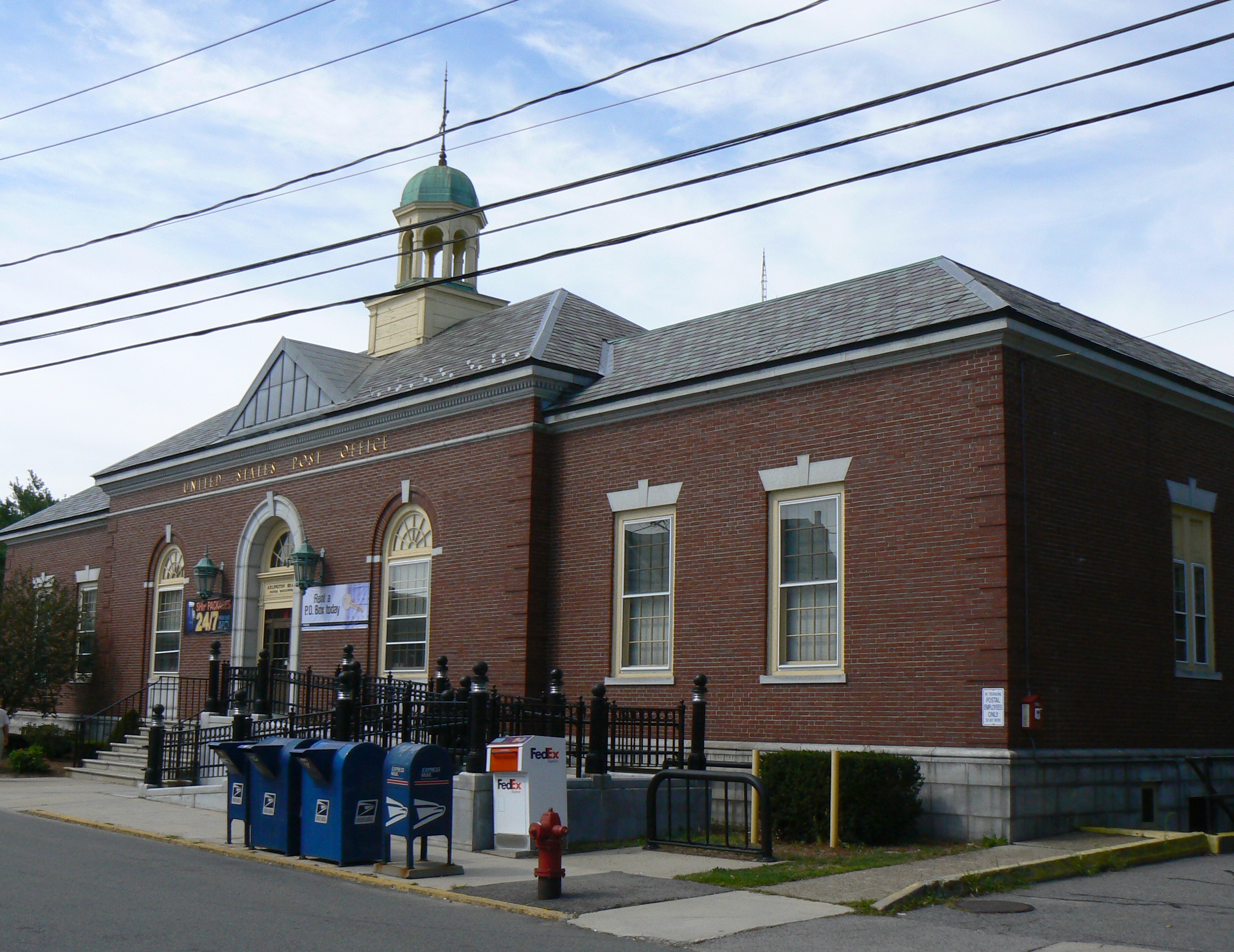
| 59 |
US Post Office-Arlington Main |
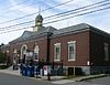 |
01986-06-18 June 18, 1986 |
10 Court St.
42°25′0″N 71°9′22″W / 42.416667°N 71.15611°W / 42.416667; -71.15611 (US Post Office--Arlington Main) |
|
| 60 |
Wayside Inn |
 |
01985-09-27 September 27, 1985 |
393 Massachusetts Ave.
42°24′46″N 71°8′59″W / 42.41278°N 71.14972°W / 42.41278; -71.14972 (Wayside Inn) |
|
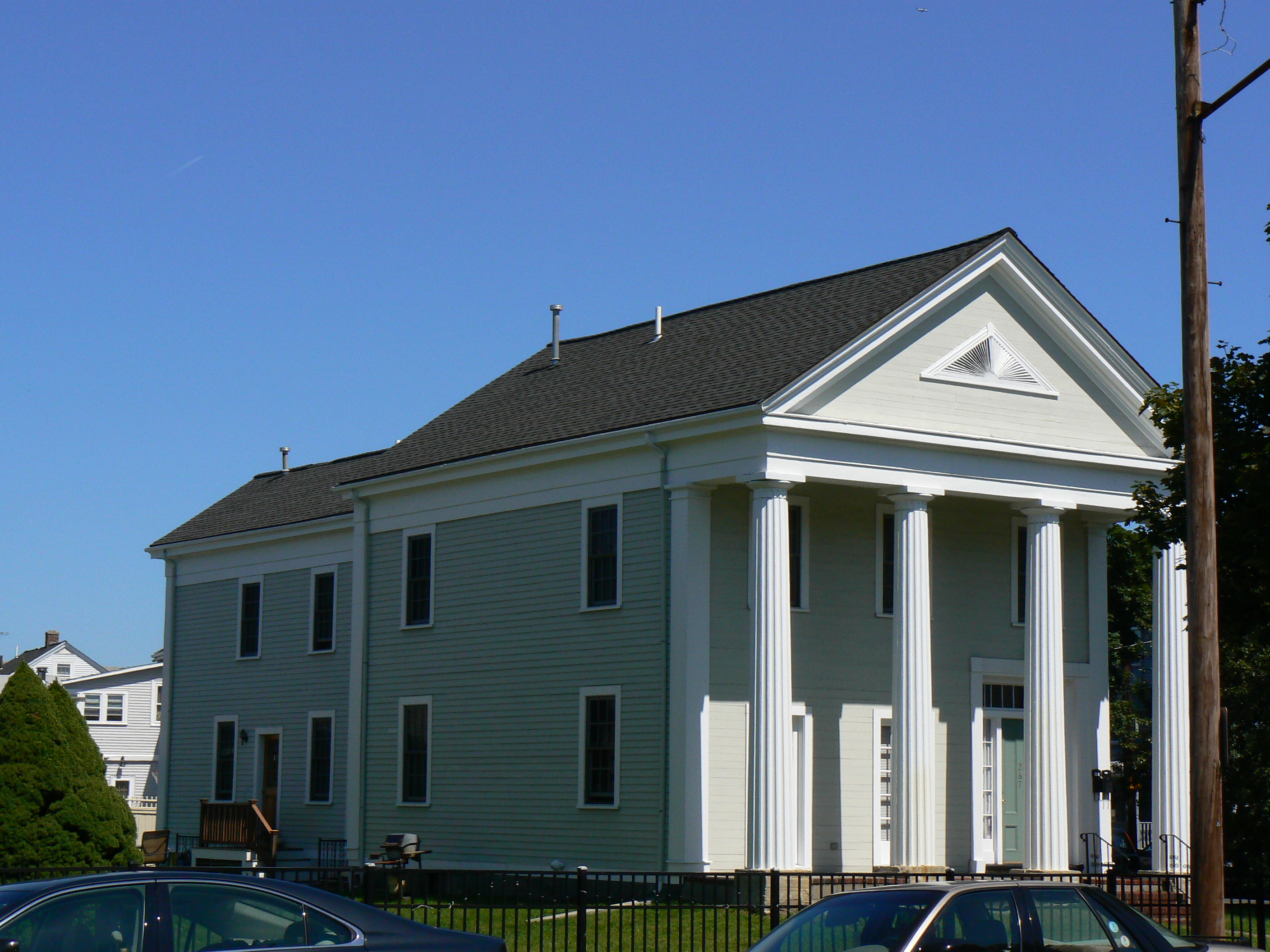
| 61 |
Whittemore House |
 |
01985-04-18 April 18, 1985 |
267 Broadway
42°24′48″N 71°8′54″W / 42.41333°N 71.14833°W / 42.41333; -71.14833 (Whittemore House) |
|
| 62 |
Winn Farm |
 |
01985-04-18 April 18, 1985 |
57 Summer St.
42°25′8″N 71°9′22″W / 42.41889°N 71.15611°W / 42.41889; -71.15611 (Winn Farm) |
This is only a farmhouse, not an actual farm. |