- Merthyr Dyfan
-
Merthyr Dyfan — District of Barry and parish/ward — Merthyr Dyfan parish church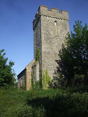 Location in Barry
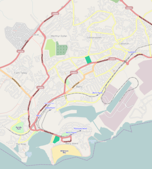
 Merthyr DyfanLocation in the Vale of Glamorgan
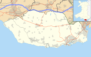 Merthyr Dyfan
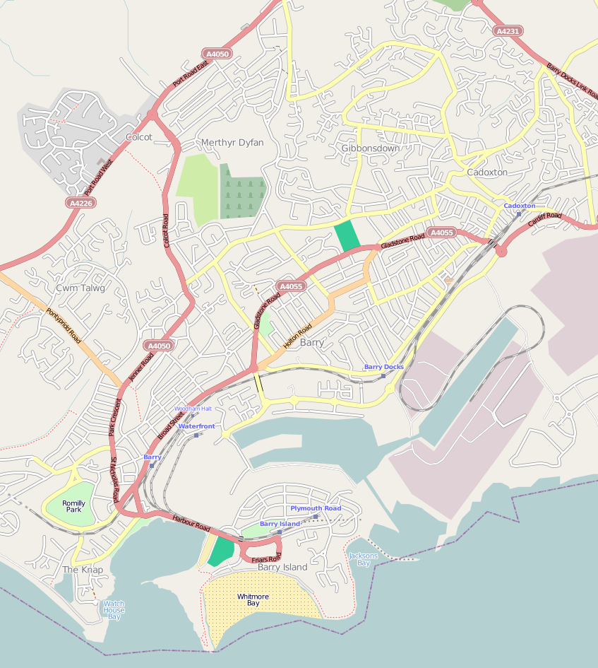
Coordinates: 51°25′14″N 3°16′15″W / 51.42056°N 3.27083°W Country United Kingdom Region Wales County Vale of Glamorgan Town Barry Time zone GMT (UTC+0) Merthyr Dyfan or Dyfan is a northeastern suburb district of Barry in the Vale of Glamorgan, in south Wales, formerly an independent medieval village and reputedly the oldest Christian site in Wales. It is also a traditional parish and a formal electoral ward of the Vale of Glamorgan. It borders Colcot to the west, Buttrills to the southwest and Gibbonsdown to the southeast. Its main roads are Merthyr Dyfan Road, a hilly road leading down from the A4050 road (Port Road) which leads into Wenvoe and Cardiff and Skomer Road which divides it with Gibbonsdown and eventually also leads to the A4050 road. Merthyr Dyfan contains an old parish church, Barry Rugby Club, Bryn Hafren Comprehensive School and the Master Mariner Pub and Holm View Leisure Centre, although the latter two could be considered part of northern Gibbonsdown.
History
The Merthyr Dyfan parish church is built on what is reputed to be the oldest Christian site in Wales and dates back to around 180 A.D. when Pope Eleutherius ordered two priests, St Dyfan and St Fagan to this area.[1] The name, "Merthyr" is derived from the latin word "Martyrium" which means "burial place", testimony to the fact that St Dyfan was buried at the church. In the sixth century, St Teilo, the founder of Llandaff Cathedral in Cardiff, was made a patron saint of the church along with Llandaff.[2][1] The current church is Norman, built in the early thirteenth century, and was consecrated by Bishop William de Burgh of Llandaff in 1250.[1] The church fell into neglect during the Reformation period but was fully restored in the late 19th century.[1] In 1970 it underwent renovation; the windows were reglazed and the church was re-roofed in Welsh slate, amongst other things.[1]
The village of Merthyr Dyfan grew up during the medieval period. The centre of the original village and church is located in what today is the southwestern-most part of Merthyr Dyfan district. It was originally located at between 53 metres and 68 metres above sea level.[3]The centre of the medieval village was excavated by a local man, G. Tyley, between 1968 and 1978.[3] In 1969 he excavated and examined an old corn-drying kiln at the site. The Merthyr Dyfan Chapel is located near the Barry Cemetery to the south, which is really in the district of Buttrills.
Housing development grew up along Merthyr Dyfan hill, north of the original village in the early 1950s, and the area to the northwest became a council estate, Colcot. Further extensive development took place between the 1960s and the 1980s, with the building of Bryn Hafren Comprehensive School, and housing estates to the east and southeast (Lundy Park). Holm View Leisure Centre was built around 1990 and regularly stages children's parties with a bouncy castle for hire.
-
Pendine Close
-

Tennyson Road
-
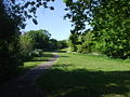
Merthyr Dyfan park, vicinity of the medieval village
-
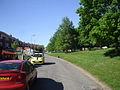
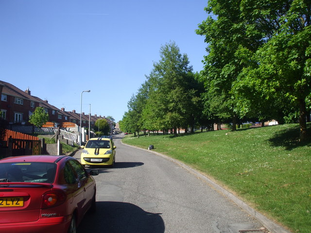
Foot of Merthyr Dyfan Road
References
- ^ a b c d e "Parish of Merthyr Dyfan, Barry, Vale of Glamorgan". www.merthyrdyfan.org.uk. http://www.merthyrdyfan.org.uk/. Retrieved 27 January 2011.
- ^ Rees, Rice (1836). An essay on the Welsh saints or the primitive Christians ... founders of churches in Wales. Longman. p. 87. http://books.google.com/books?id=NtIAAAAAcAAJ&pg=PA87. Retrieved 27 January 2011.
- ^ a b Royal Commission on Ancient and Historical Monuments in Wales (1976). An inventory of the ancient monuments in Glamorgan. H.M.S.D.. http://books.google.com/books?id=42cvAAAAMAAJ. Retrieved 27 January 2011.
Categories: -


Wikimedia Foundation. 2010.