- Medical District (Augusta, Georgia)
-
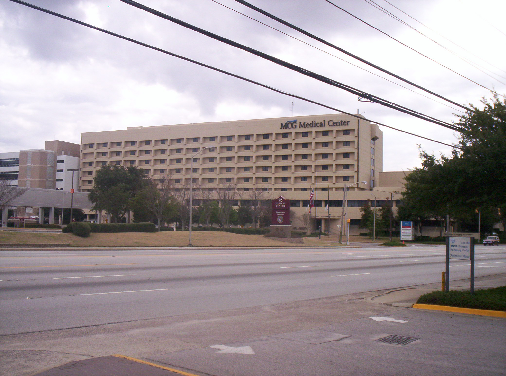
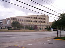 MCGHealth Medical Center
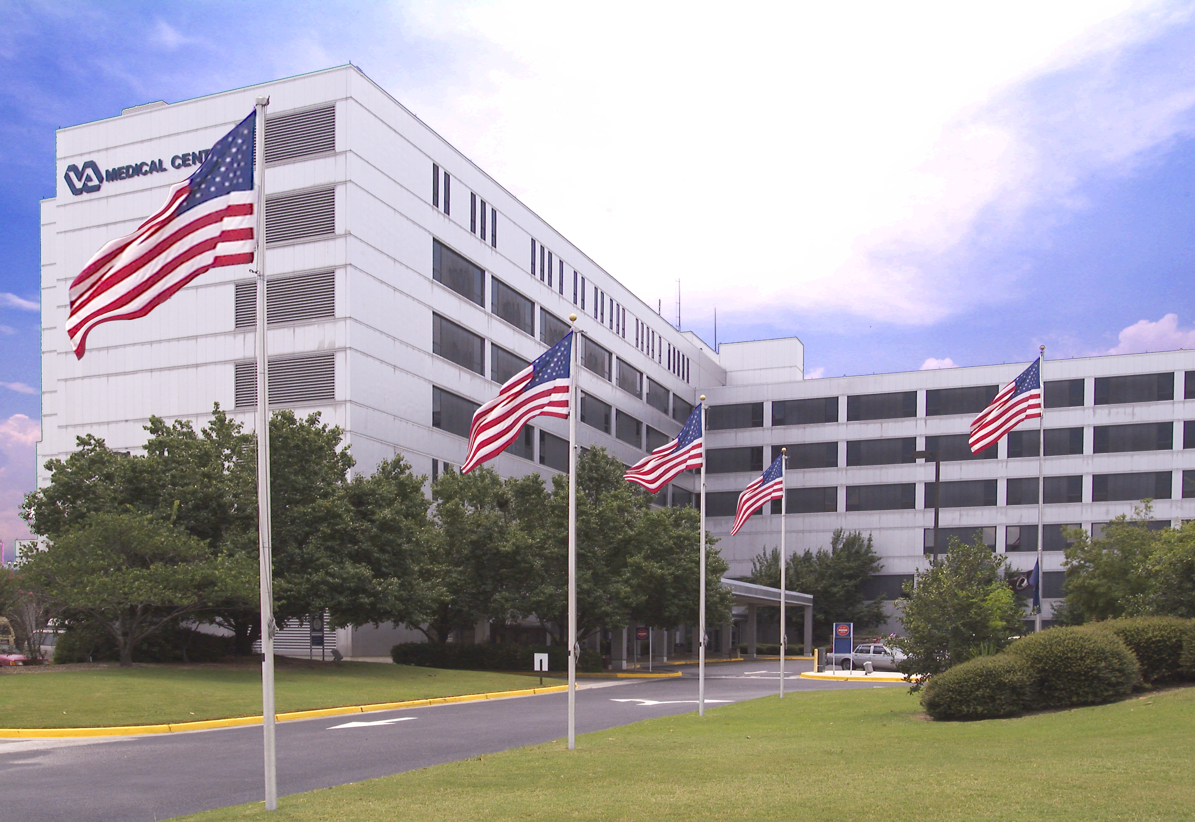
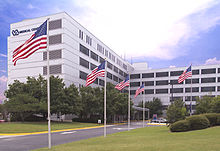 Norwood VA Medical Center
The Medical District of Augusta, Georgia, is a special-use zoning district located between downtown and Summerville. The district is bounded to the north by Walton Way, to the east by R.A. Dent Boulevard, to the west by Heard Avenue, and to the south by Wrightsboro Road. The district comprises a number of medical facilities and private medical companies.[1]
Contents
Institutions
- Georgia Health Sciences University / MCGHealth
- Georgia Health Sciences University (GHSU)
- MCGHealth (affiliated with GHSU)
- MCGHealth Medical Center — 493 licensed beds
- MCGHealth Children's Medical Center — 149 licensed beds
- MCGHealth Ambulatory Care Center — has more than 80 outpatient clinics in one setting
- MCGHealth Specialized Center — a 13-county Level I trauma center
- MCGHealth Sports Center
- Medical College of Georgia Institute of Molecular Medicine and Genetics
- University Hospital — 612 licensed beds
- University Heart and Vascular Institute
- Georgia Radiation Therapy Center
- Augusta Sickle Cell Center
- Specialty Select Hospital — 34 licensed beds
- Augusta Cancer Research Center
- Norwood VA Medical Center — 155 licensed beds
See also
- Walton Rehabilitation Hospital
- Broad Street Historic District (Augusta, Georgia)
- Summerville (Augusta, Georgia)
References
- ^ John Bankston, Biotech firm looking at area, Augusta Chronicle, May 31, 2002. Retrieved 02-16-2009.
- ^ http://www.georgiahealth.edu/sod/
- ^ http://www.georgiahealth.edu/sah/
- ^ http://www.georgiahealth.edu/son/
- ^ http://www.georgiahealth.edu/gradstudies/
External links
Augusta, Georgia Main article 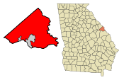
History Arts and culture Colleges and universities K-12 education Richmond County School System
Private schools: Aquinas | Episcopal Day | Saint Mary on the Hill | WestminsterHospitals Sports Venues Media See also: Category:Augusta, GeorgiaCategories:- Geography of Augusta, Georgia
- Economy of Augusta, Georgia
- Medical districts
- Georgia Health Sciences University / MCGHealth

Wikimedia Foundation. 2010.