- Marrawah, Tasmania
-
Marrawah
Tasmania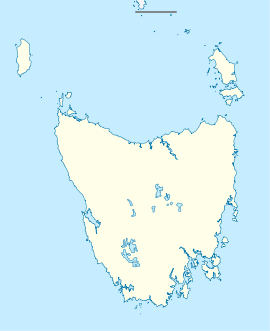
 Marrawah
Population: 407 [1] Postcode: 7330 Location: 491 km (305 mi) NW of Hobart State District: Braddon Federal Division: Braddon Marrawah is a small town on the northern part of the West Coast of Tasmania, Australia. marrawah is located in the former shire of Wellington. At the 2006 census, Marrawah had a population of 407.[1]
Marrawah is Tasmania's westernmost settlement and the furthest settlement from Hobart. It is located 491 km northwest of Hobart and 292 km northwest of Launceston and lies at the western end of the A2 sealed road. Marrawah also marked the end of Tasmania's westernmost railway, the Smithton to Marrawah Tramway. Farming, including dairy farming, and tourism are the main commercial activities. The area has several important Aboriginal sites, such as Aboriginal carvings at Mount Cameron West and Sundown Point.[2]
Greens Beach near Marrawah is also known a good location for surfing, kitesurfing and windsurfing.[3]
The Woolnorth Wind Farm on Cape Grim is visible in the distance to the north of Marrawah.
References
- ^ a b Australian Bureau of Statistics (25 October 2007). "Marrawah (State Suburb)". 2006 Census QuickStats. http://www.censusdata.abs.gov.au/ABSNavigation/prenav/LocationSearch?collection=Census&period=2006&areacode=SSC65751&producttype=QuickStats&breadcrumb=PL&action=401. Retrieved 2010-01-19.
- ^ Marrawah, The Age, February 8, 2004
- ^ Tasmanian Kite Surfing Association Location Database
Coordinates: 40°56′S 144°42′E / 40.933°S 144.7°E
Categories:- Towns in Tasmania
- North West Tasmania
- Tasmania geography stubs

Wikimedia Foundation. 2010.