- Bazmaghbyur
Infobox Settlement
official_name =Bazmaghbyur Բազմաղբյուր
native_name =
pushpin_
mapsize =150px
subdivision_type = Country
subdivision_name =Armenia
subdivision_type1 = Marz (Province)
subdivision_name1 =Aragatsotn
leader_title =
leader_name =
established_title =
established_date =
area_total_km2 =
area_footnotes =
population_as_of =2001
population_total =950
population_density_km2 =
timezone =
utc_offset = +4
timezone_DST =
utc_offset_DST = +5
latd=40 |latm=20 |lats=07 |latNS=N
longd=44|longm=18 |longs=50 |longEW=E
coordinates_display = title,inline
coordinates_type = type:city_region:AM
elevation_m = 1150
area_code =
website =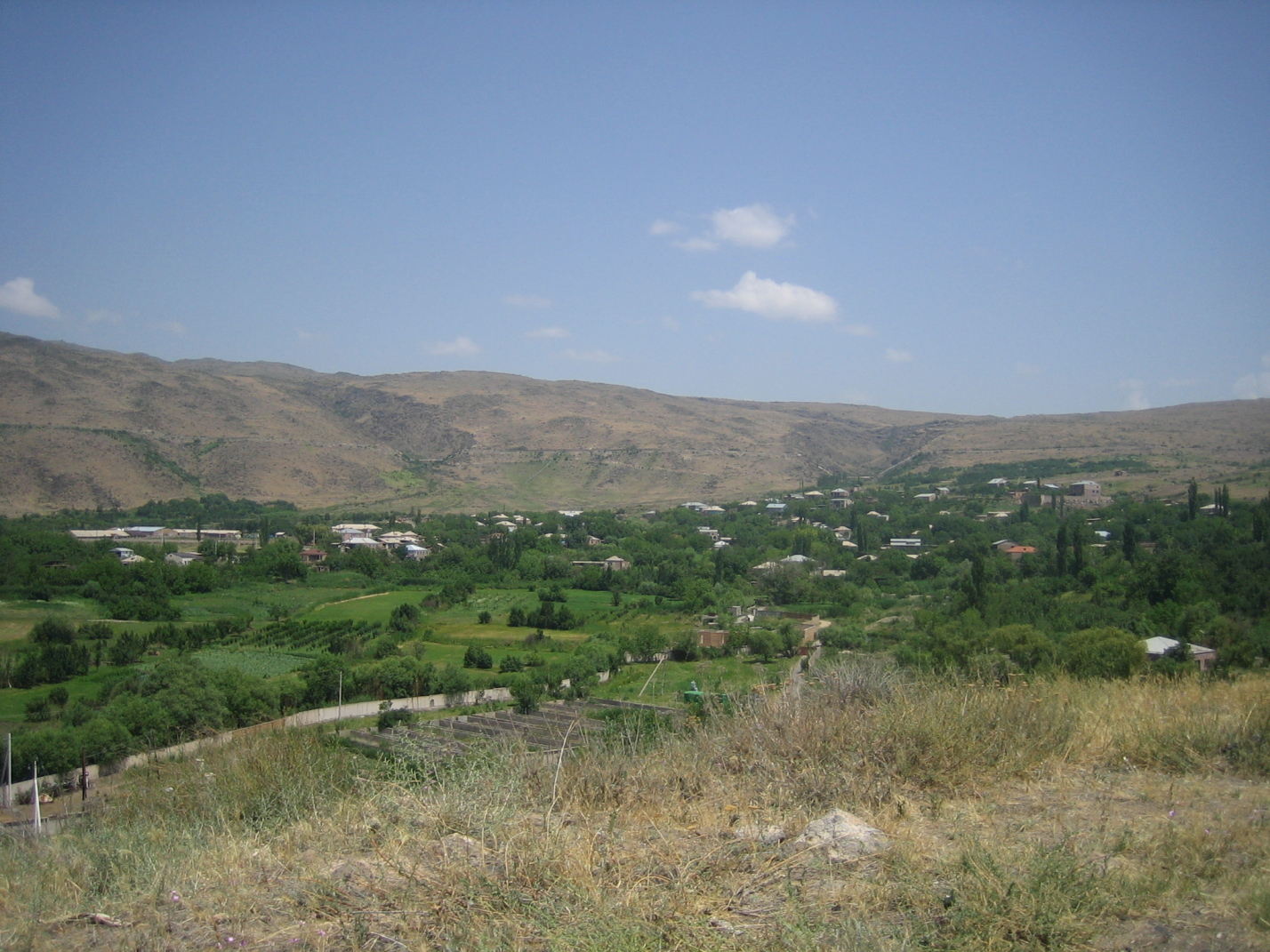
image_caption = View of Bazmaghbyur
imagesize =Bazmaghbyur ( _hy. Բազմաղբյուր, until
1949 , Takiya and Takia; Russian: Bazmakhpyur) is a town in the Aragatsotn Province ofArmenia .References
*GEOnet2|32FA881E72523774E0440003BA962ED3
* [http://www.armstat.am/file/doc/70.pdf Report of the results of the 2001 Armenian Census]
*Kiesling, "Rediscoving Armenia", p. 15, available online at the [http://yerevan.usembassy.gov/armenia.pdf US embassy to Armenia's website]

Wikimedia Foundation. 2010.