- List of state highways in Snohomish County, Washington
infobox road
state=WA
type=SR
route=9
highway_name=Highways in Snohomish County, Washington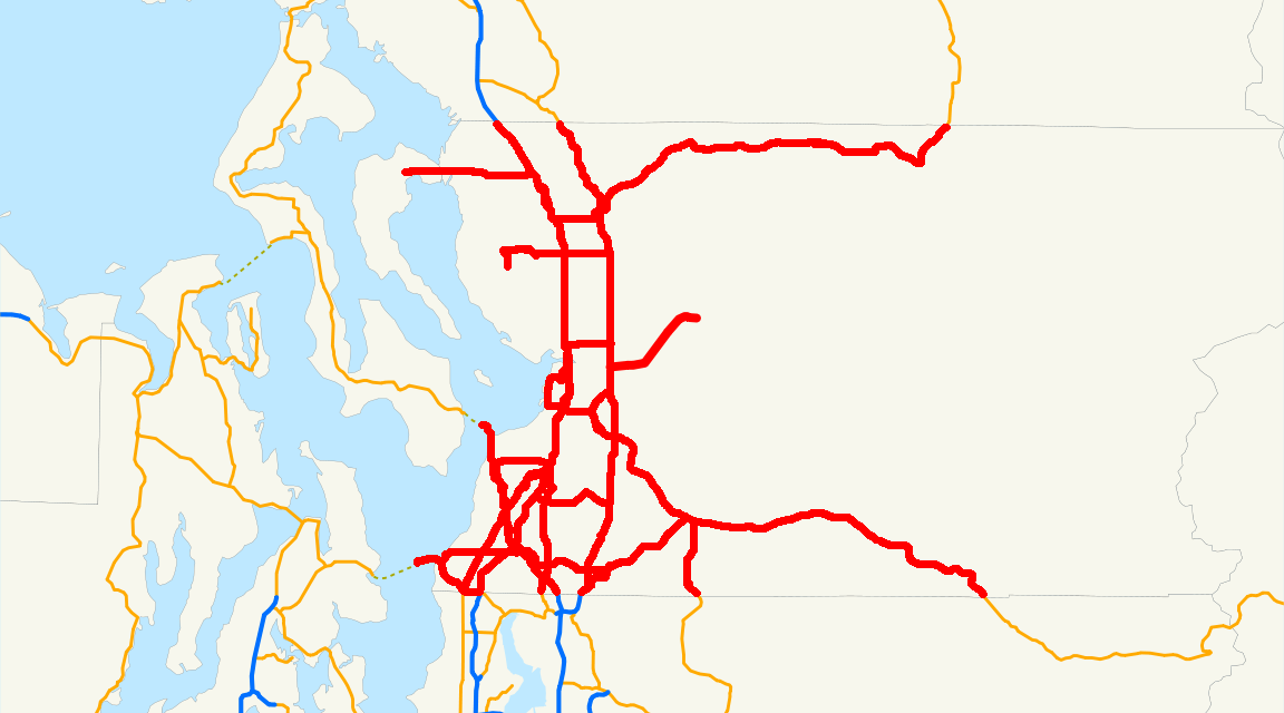
The list of highways in Snohomish County, Washington is a list of all county and state highways located in
Snohomish County, Washington . These roads account for convert|291.79|mi|km of the highway system inWashington .Washington State Department of Transportation , [http://www.wsdot.wa.gov/mapsdata/TDO/PDF_and_ZIP_Files/HwyLog2006.pdf State Highway Log] , 2006] Most roads within the county are short connectors, while others are sections of convert|20|mi|km|adj=on long highways. There are twointerstate highway in Snohomish County, Interstate 5, and Interstate 405. There is one U.S. Highway, U.S. Route 2 and 16 state-numbered signed routes in the county, the longest being SR 9.The longest state route is the span of SR 9, spaning convert|37.64|mi|km in the county alone. The shortest state route is SR 528, which is only convert|3.46|mi|km long. These roads supply some of the major cities in Snohomish County, including Everett, Edmonds, Marysville, Lynnwood, Bothell, Arlington, and Monroe.
Highways
Interstate highways
There are two Interstates that make up about convert|45.19|mi|km of all highways in the Snohomish County. Interstate 5 is one of two interstate highways to enter Snohomish County, traveling for convert|39.89|mi|km within the county, with 28
interchange s along the way, excluding 3 which are forHOV users only and 1 for buses only. Exits off the highway serve Mountlake Terrace, Lynnwood, Mill Creek, Everett, Marysville, Arlington, and Stanwood. The highway replacedU.S. Route 99 , an old U.S. highway that connectedCanada toMexico , whichInterstate 5 currently does.cite web |url=http://www.angelfire.com/wa2/hwysofwastate/i005.html |title=Interstate 5 |author=Highways of Washington State |accessdate=2008-06-12]Interstate 405 is the other interstate highway to enter Snohomish County, traveling for convert|5.30|mi|km within the county, with 2
interchange s along the way. Exits off the highway serve Lynnwood, Mill Creek, and Bothell. The highway terminates at an interchange with Interstate 5/SR 525 in Lynnwood.cite web |url=http://www.angelfire.com/wa2/hwysofwastate/i405.html |title=Interstate 405 |author=Highways of Washington State |accessdate=2008-06-12]U.S. highways
There have been three
U.S. highway s in Snohomish County. The longest—and the only current one—is U.S. Route 2, which spans for over convert|40.80|mi|km within the couty. Since its designation in 1926, US 2 services the cities of Everett, Snohomish, Monroe, Sultan, Gold Bar, and Index before leaving for Chelan County.cite web |url=http://www.angelfire.com/wa2/hwysofwastate/us002.html |title=U.S. Route 2 |author=Highways of Washington State |accessdate=2008-06-12]U.S. Route 99 and U.S. Route 10 Alternate once traversed Snohomish County.U.S. Route 99 roughly used the route of present-day Interstate 5. U.S. Route 10 Alternate followedU.S. Route 99 from King County to Everett and turns east on currentU.S. Route 2 to Chelan County. Both highways were either decomissioned or decertified. [cite web |url=http://www.angelfire.com/wa2/hwysofwastate/us099.html |title=U.S. Route 99 |author=Highways of Washington State |accessdate=2008-06-12] [cite web |url=http://www.angelfire.com/wa2/hwysofwastate/us010.html |title=U.S. Route 10 |author=Highways of Washington State |accessdate=2008-06-12]State routes
There are 16 state routes and 4 bannered state routes that make up about convert|191.72|mi|km of all highways in Snohomish County. The longest route in the county is SR 9, which spans from Woodinville in the south to Skagit County in the north. Most highways have the first digit as 5, which means they connect or are related to I-5. Only 6 highways in the county do not have 5 as their first digit like SR 9, SR 92, SR 96, [State Routes 92 and 96 are
auxiliary route s of State Route 9.] SR 104, [State Route 104 is anauxiliary route of US 101, which it intersects via continuing across on the Edmonds-Kingston Ferry and going west to US 101.] and SR 203. [State Route 203 is anauxiliary route of US 2.]tatistics
The chart below shows current interstate, U.S., and state highways by year of commissioning, length, and cities crossed.
Bannered routes
The chart below shows current state bannered routes by year of commissioning, length, and city. For a list of bannered U.S. Routes, see List of bannered U.S. Routes and for Interstates, see List of Business Routes of the Interstate Highway System.
References
Wikimedia Foundation. 2010.