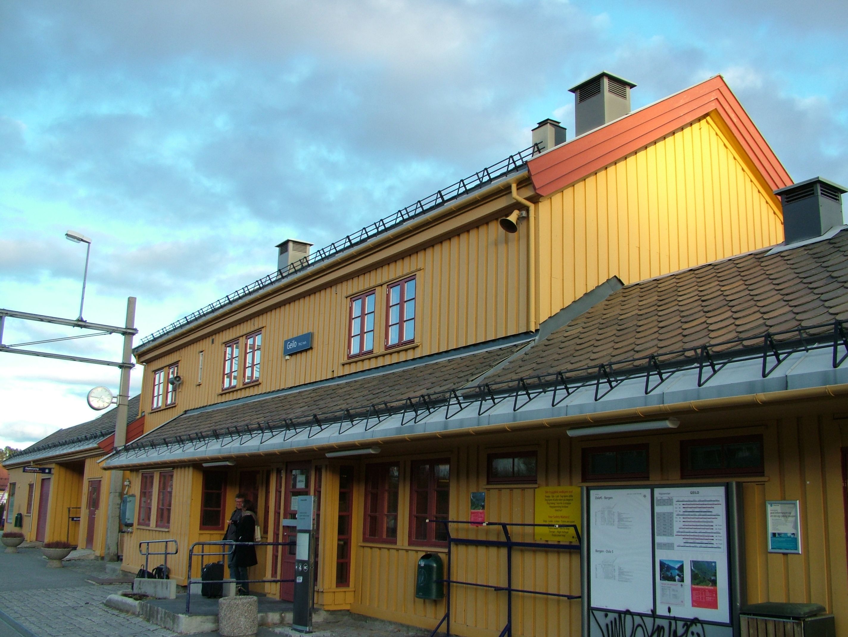
Geilo — is a centre in the municipality of Hol in Norway, in the valley of Hallingdal, with around 2300 inhabitants. Geilo is primarily a ski resort town, but also offers summer activities. Geilo is in a valley with mountain ranges on each side. Geilo… … Wikipedia
Geilo — 60°31′N 8°12′E / 60.517, 8.2 Geilo ( yeilou ) est une ville norvégienne située dans le Buskerud à 800 mètres d altitude et ayant pour principal attrait une station de ski … Wikipédia en Français
Vestlia Resort Hotel Geilo (Geilo) — Vestlia Resort Hotel Geilo country: Norway, city: Geilo (Ustedalsfjorden) Vestlia Resort Hotel Geilo Location The hotel is located just outside the city centre at the foot of the surrounding mountain ranges of Geilo, 800 metres above sea level… … International hotels
Dr. Holms Hotel Geilo (Geilo) — Dr. Holms Hotel Geilo country: Norway, city: Geilo (City Centre) Dr. Holms Hotel Geilo Dr. Holms Hotel is beautifully situated at Geilo, right on the entrance to Hardangervidda. During the summer it is a breath taking spot with the highlands as… … International hotels
Ål Station — Infobox Norwegian station name = Ål caption = locale = Ål municipality = Ål line = Bergensbanen distance = 228.21 km elevation = 436.6 m coordinates = start = 1907 architect = platforms = owner = operator = Norges Statsbaner t bane = line1 =… … Wikipedia
Bardola Hoyfjellshotell (Geilo) — Bardola Hoyfjellshotell country: Norway, city: Geilo (City) Bardola Hoyfjellshotell Bardola Hoyfjellshotell is a classic mountain hotel, located just outside the centre of Geilo in quiet surroundings. The hotel offers hospitality and a personal… … International hotels
Ørland Main Air Station — IATA: OLA – ICAO: ENOL Summary Airport type Military Operator Royal Norwegian Air Force Location … Wikipedia
Gardermoen Air Station — IATA: OSL – ICAO: ENGM Summary Airport type Joint (Civil and Military) Operator Royal Norwegian Air Force L … Wikipedia
Ustaoset Station — Infobox Norwegian station name = Ustadoset caption = locale = Ustaoset municipality = Hol line = Bergensbanen distance = 264,67 km elevation = 990.6 m coordinates = start = 1912 architect = platforms = owner = operator = Norges Statsbaner t bane … Wikipedia
Stavkirke — Forêt norvégienne de pin sylvestre Stavkirke d Urnes Une stavkirk … Wikipédia en Français

