Arådalen

Arådalen
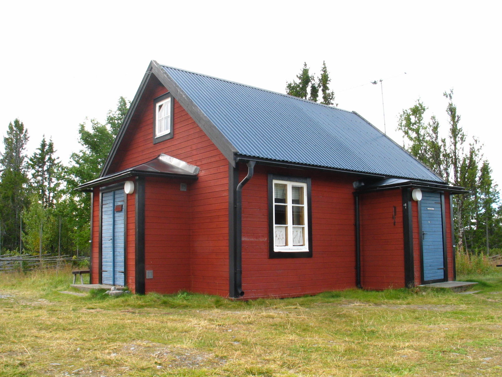
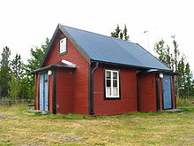
STF's Arådalen Tourist Station
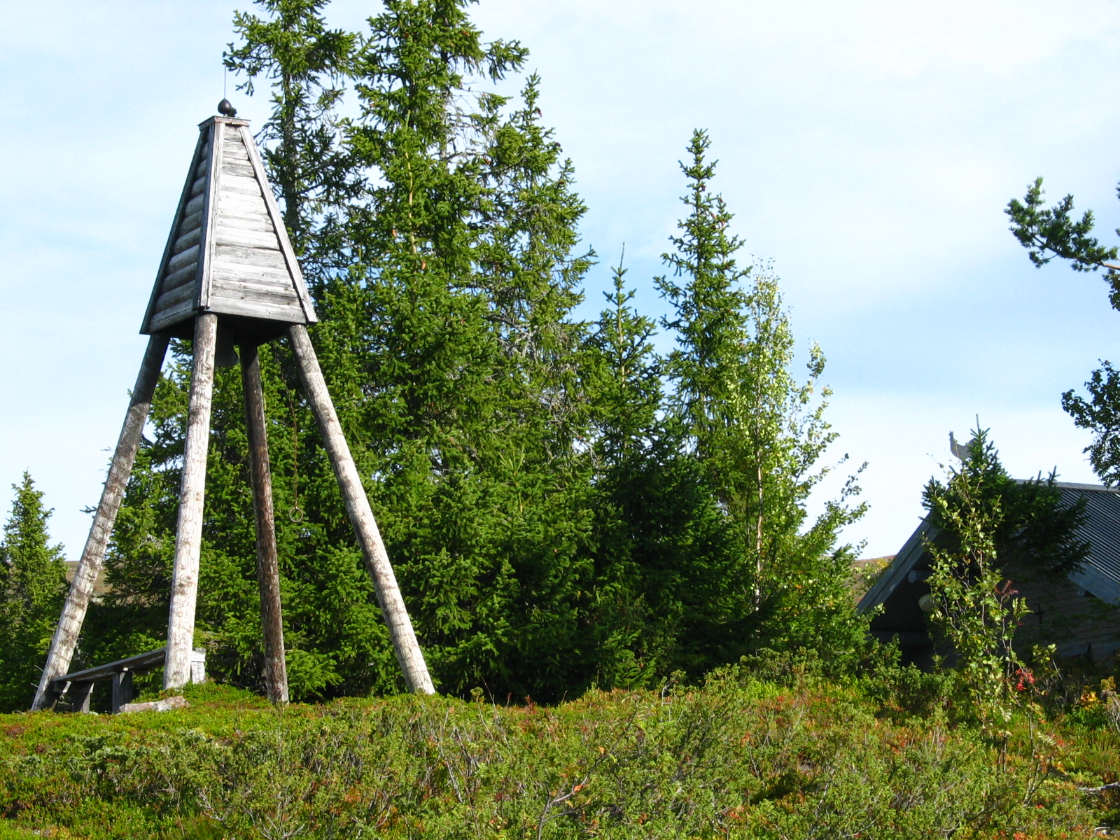
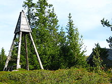
Bells at the Arådalen chapel

Arådalen is a valley immediately west of the mountain Hundshögen (1371 m) in southern Oviksfjällen, Oviken parish, Berg's Municipality, Jämtland, Sweden. It has been named after the watercourse Arån as from the valley is flowing southward.

In Arådalen is the Swedish Tourist Association (STF)'s oldest tourist station. The first small building was already erected on 1895. The current tourist station was then built In 1909 and it is now open only in summer time. The land is owned by the Swedish Church, but the tourist station is operated by the STF. Along the station there is a chapel built in the 1970s and two huts. The chapel is of the Church of Sweden, which also owns a large area of Arådalen. The tourist station and the chapel are located very near the Angelika dammed lake. The name suggests that there are plenty of angelica (Angelica archangelica) in the area. In Arådalen there are private recreation houses, but not a lift system. In the western part lies the sameby (lapp camp) Glen with 4 four or five families. In the northern part of the valley is a long fence bulkt by the laps to handle the reindeers. The road to Arådalen was built years from 1964 to 1965. Prior to that time the area had no road. It is common to see reindeer with calves in the area. Glens lapp camp belongs to the Tossåsens sameby. The Glen Lake is reached by a short hike of 4 km in the unique natural landscape. The path to Glen Lake is lined by small cottage places where Sami long ago lived before they built their houses in Glen. You can also discover the old catch pits in the area. On the western side of the Glen Lake there is the beautiful mountain Baltere. The area lies in the prohibition zone for driving with scooters in winter time. Glen Lake is known for its fine trout stocks with a record of over 9 kg. Sizes around the 3-5 kg is not uncommon. The lake is about 4 km long with some deep holes of 40 - 50 m. The main fishing season is from the ice freezing up to the melting of the ice.

Coordinates: 62°56′N 13°38′E / 62.933°N 13.633°E / 62.933; 13.633


Wikimedia Foundation. 2010.

Игры ⚽ Поможем написать реферат

Look at other dictionaries:

  • Arådalen — Der See Angelikasjön in Arådalen Arådalen ist ein Tal westlich des Berges Hundshögen (1.371 m) im südlichen Oviksfjäll in Jämtland, Schweden. Das Tal wurde nach dem Fluss Arån benannt, der vom Tal aus Richtung Süden in den Ljungan fließt. Dieses… …   Deutsch Wikipedia

  • Arådalen Naturreservat — Typische Wald Sumpflandschaft im Arådalen Naturreservat Das Naturreservat Arådalen (Arådalens naturreservat) wurde 2006 auf dem Gebiet um Arådalen in Schweden ausgewiesen und ist Bestandteil des europaweiten Natura 2000 Projektes. Mit einer Größe …   Deutsch Wikipedia

  • Naturreservat Arådalen — Typische Wald Sumpflandschaft im Arådalen Naturreservat Das Naturreservat Arådalen (Arådalens naturreservat) wurde 2006 auf dem Gebiet um Arådalen in Schweden ausgewiesen und ist Bestandteil des europaweiten Natura 2000 Projektes. Mit einer Größe …   Deutsch Wikipedia

  • Östra Arådalen — Hütten auf der Alm Östra Arådalen Östra Arådalen ist eine Almensiedlung im Tal Arådalen, Jämtland, mit sehr weiter Aussicht auf das Oviksfjäll. Die Alm besteht aus mehreren Hütten, von denen einige bis heute traditionell genutzt werden. Nachdem… …   Deutsch Wikipedia

  • Oviksfjäll — Blick von Süden zum Gipfel des Hundshögen Das Oviksfjäll (südsamisch Luvlietjahkh) ist ein Gebirge in Jämtland, Schweden. Die Ausdehnung beträgt maximal 30 × 30 km. Die Gipfel rund um den Hundshögen sind die einzigen, die direkt von Östersund aus …   Deutsch Wikipedia

  • Fäbodvägen — Blick vom Fäbodvägen auf das Oviksfjäll Der Fäbodvägen ist eine Touristenstraße im südlichen Teil des Oviksfjällen in der schwedischen Provinz Jämtlands län. Sie führt von der Ortschaft Börtnan im Süden bis nach Persåsen im Norden. Entlang dieser …   Deutsch Wikipedia

  • Börtnan — Hilfe zu Wappen …   Deutsch Wikipedia

  • Galåbodarna — Die Alm Galåbodarna im Winter. Galåbodarna (auch Västra Galåbodarna) ist eine Almensiedlung am Fuße des Oviksfjäll in Jämtland, Schweden. Galå ist dem Namen des Flusses Galån entlehnt, der vom Oviksfjällen kommend unterhalb des Dorfes Börtnan in… …   Deutsch Wikipedia

  • Glen (Schweden) — Kote der Samí in Arådalen, Jämtland, Schweden …   Deutsch Wikipedia

  • Jämtland — Coat of arms …   Wikipedia

Share the article and excerpts

Direct link
Do a right-click on the link above
and select “Copy Link”