- Ziniaré Department
Infobox Settlement
name =Ziniaré
settlement_type =Department
official_name =
other_name =
native_name =
nickname =
motto =
imagesize =
image_caption =
flag_size =
image_
seal_size =
image_shield =
shield_size =
image_blank_emblem =
blank_emblem_size =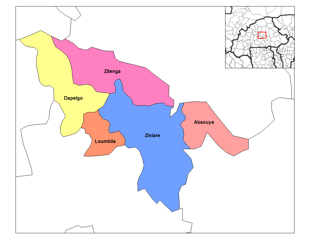
mapsize = 350px
map_caption = Ziniaré Department's location in the province
mapsize1 =
map_caption1 =
pushpin_
pushpin_label_position =
subdivision_type = Country
subdivision_name = flag|Burkina Faso
subdivision_type1 = Province
subdivision_name1 =Oubritenga Province
subdivision_type2 =
subdivision_name2 =
seat_type =
seat =
government_type =
leader_title =
leader_name =
leader_title1 =
leader_name1 =
established_title =
established_date =
area_magnitude =
unit_pref =Imperial
area_footnotes =
area_total_km2 =
area_land_km2 =
area_water_km2 =
area_total_sq_mi =
area_land_sq_mi =
area_water_sq_mi =
area_water_percent =
area_urban_km2 =
area_urban_sq_mi =
area_metro_km2 =
area_metro_sq_mi =
population_as_of = 1996
population_footnotes =
population_note =
population_total = 55,852
population_density_km2 =
population_density_sq_mi =
population_metro =
population_density_metro_km2 =
population_density_metro_sq_mi =
population_urban =
population_density_urban_km2 =
population_density_urban_mi2 =
timezone = GMT 0
utc_offset = +0
timezone_DST =
utc_offset_DST =
latd=|latm=|lats=|latNS=
longd=|longm=|longs= |longEW=
elevation_footnotes =
elevation_m =
elevation_ft =
postal_code_type =
postal_code =
area_code =
website =
footnotes =Ziniaré is a department or commune of
Oubritenga Province in northern-centralBurkina Faso . Its capital lies at the town ofZiniaré . According to the 1996 census the department has a total population of 55,852 [ [http://www.inforoute-communale.gov.bf/list_vill/bm.htm Burkinabé government inforoute communale] ] .Towns and villages
*
Ziniaré (13 595 habitants) (capital)
* Badnogo (515 habitants)
*Bagadogo (1 022 habitants)
*Basbedo (939 habitants)
*Barkuitenga (1 529 habitants)
*Barkoudouba (859 habitants)
*Betta (1 265 habitants)
*Bissiga Peulh (144 habitants)
*Boalin (580 habitants)
*Boulba (748 habitants)
*Gam-Silimimossé (800 habitants)
*Gombogo (642 habitants)
*Gombogo-Peulh (188 habitants)
*Gonsé (210 habitants)
*Gondogo Tandaaga (853 habitants)
*Gombogo (1 645 habitants)
*Ipala (1 417 habitants)
*Kartenga (811 habitants)
*Koada-Yarcé (483 habitants)
*Koassanga (2 551 habitants)
*Kolgondiessé (477 habitants)
*Koulgandogo (239 habitants)
*Koulgando-peulh (195 habitants)
*Ladwenda (873 habitants)
*Laongo-yanga (972 habitants)
*Matté (906 habitants)
*Moutti (1 200 habitants)
*Moyargo (618 habitants)
*Nabitenga (636 habitants)
*Nakamtenga I (749 habitants)
*Nakamtenga II (700 habitants)
*Namassa (1 105 habitants)
*Napamboubou-saalin (415 habitants)
*Ouagatenga (515 habitants)
*Oubri-Yaoghin (1 465 habitants)
*Pilaga peulh (479 habitants)
*Rassempoughin (201 habitants)
*Sawana (2 095 habitants)
*Songpélcé (2 357 habitants)
*Tanghin-Gombogo (917 habitants)
*Tanghin Goudry (528 habitants)
*Tamassa (307 habitants)
*Tamissi (959 habitants)
*Tambogo Peulh (226 habitants)
*Tampougtenga (1 007 habitants)
*Tanpoko Peulh (295 habitants)
*Taonsgo (1 609 habitants)
*Tibin (619 habitants)
*Ziga (2 392 habitants)References
Wikimedia Foundation. 2010.