- Marokibo
-
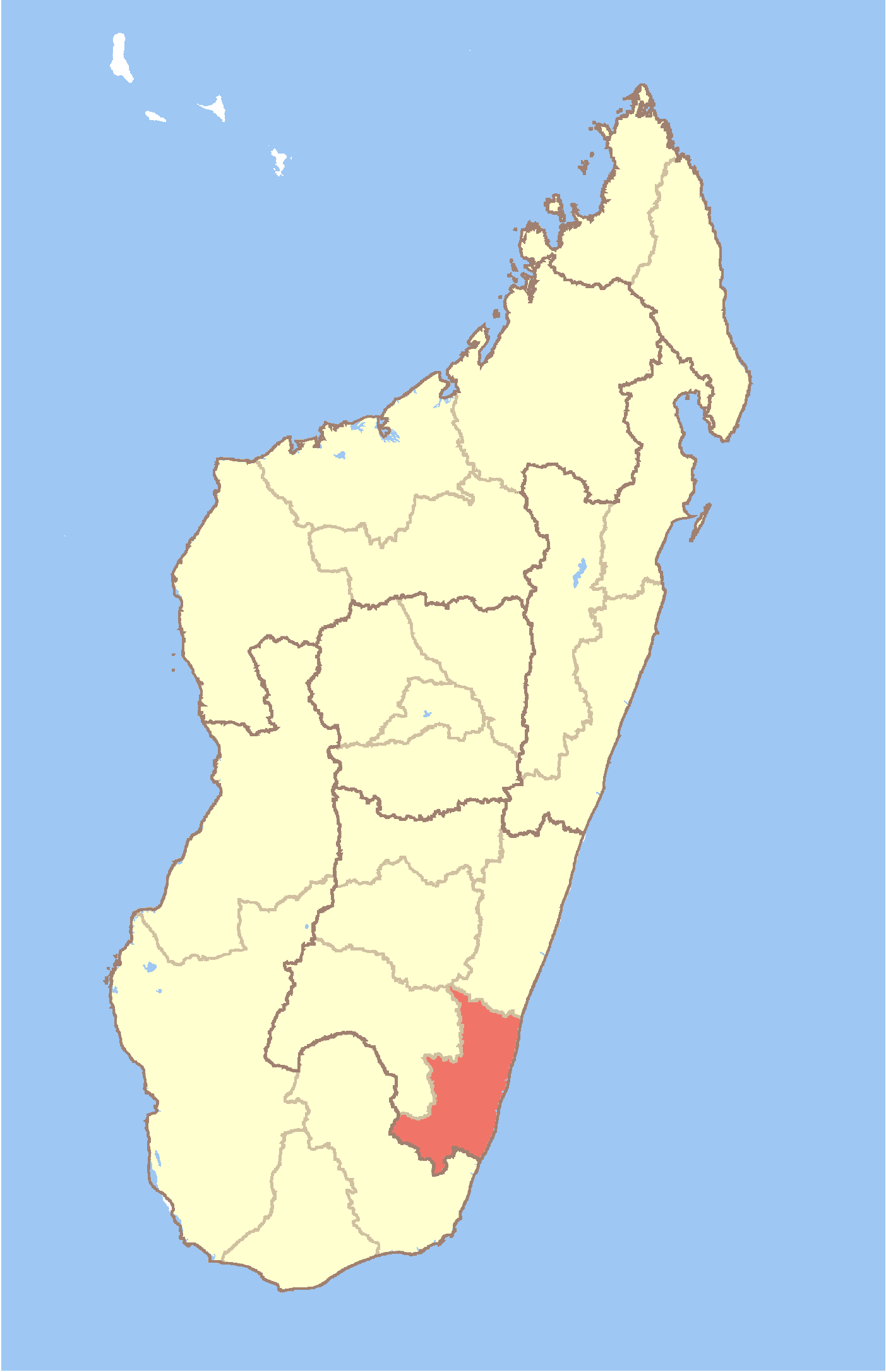
Marokibo Location in Madagascar
 Marokibo
Coordinates: 23°41′S 47°33′E / 23.683°S 47.55°E Country  Madagascar
Region Atsimo-Atsinanana District Vangaindrano Elevation[1] 27 m (89 ft) Population (2001)[2] - Total 3,000 Time zone EAT (UTC3) Marokibo is a town and commune in Madagascar. It belongs to the district of Vangaindrano, which is a part of Atsimo-Atsinanana Region. The population of the commune was estimated to be approximately 3,000 in 2001 commune census.[2]
Only primary schooling is available. The majority 97% of the population of the commune are farmers. The most important crops are rice and sugarcane, while other important agricultural products are cloves and cassava. Services provide employment for 3% of the population.[2]
References and notes
- ^ Estimated based on DEM data from Shuttle Radar Topography Mission
- ^ a b c "ILO census data". Cornell University. 2002. http://www.ilo.cornell.edu/ilo/data.html. Retrieved 2008-05-05.
Coordinates: 23°41′S 47°33′E / 23.683°S 47.55°E

This Atsimo-Atsinanana location article is a stub. You can help Wikipedia by expanding it.