- Karmutzen Range
Geobox | Range
name=Karmutzen Range
other_name=
image_size=
image_caption=
country=Canada
region=British Columbia
parent=Vancouver Island Ranges
geology=
geology1=
geology2=
orogeny=
highest=
highest_elevation=
highest_lat_d=|highest_lat_m=|highest_lat_s=|highest_lat_NS=N
highest_long_d=|highest_long_m=|highest_long_s=|highest_long_EW=W
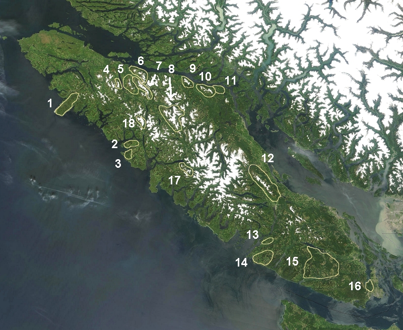
map_caption=The Karmutzen Range is marked 4 on map.
map_size=275The Karmutzen Range is a small
mountain range inBritish Columbia ,Canada , located west ofNimpkish Lake onVancouver Island , north ofTlakwa Creek and south and east ofKarmuzten Creek . It is has an area of 64 km2 and is a subrange of theVancouver Island Ranges which in turn form part of theInsular Mountains . [http://www.bivouac.com/ArxPg.asp?ArxId=1538 Karmutzen Range] in the Canadian Mountain Encyclopedia]ee also
*
List of mountain ranges External links
*
References

Wikimedia Foundation. 2010.