- Ihosy District
Infobox Settlement
official_name = Ihosy District
other_name =
native_name =
nickname =
settlement_type = District
motto =
imagesize =
image_caption =
flag_size =
image_
seal_size =
image_shield =
shield_size =
image_blank_emblem =
blank_emblem_type =
blank_emblem_size =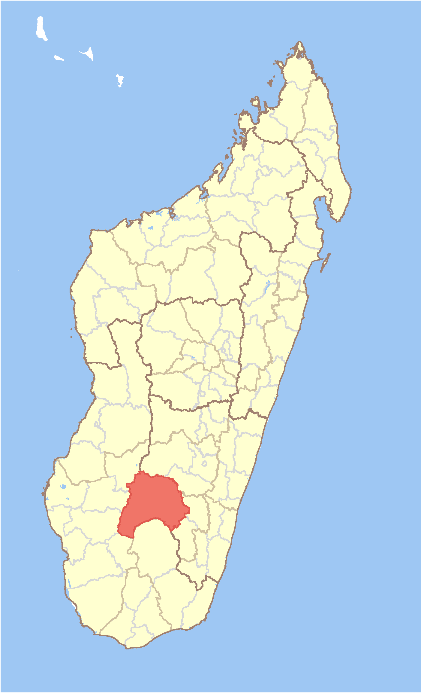
mapsize = 180px
map_caption = Location in Madagascar
mapsize1 =
map_caption1 =
image_dot_
dot_mapsize =
dot_map_caption =
dot_x = |dot_y =
pushpin_
pushpin_label_position =
pushpin_map_caption =
pushpin_mapsize =
subdivision_type = Country
subdivision_name = MAD
subdivision_type1 = Province
subdivision_name1 = Antsiranana
subdivision_type2 = Region
subdivision_name2 = Ihorombe
subdivision_type3 =
subdivision_name3 =
subdivision_type4 =
subdivision_name4 =
seat_type = Capital
seat =
government_footnotes =
government_type =
leader_title =
leader_name =
leader_title1 =
leader_name1 =
leader_title2 =
leader_name2 =
leader_title3 =
leader_name3 =
leader_title4 =
leader_name4 =
established_title =
established_date =
established_title2 =
established_date2 =
established_title3 =
established_date3 =
area_magnitude =
unit_pref =
area_footnotes =
area_total_km2 = 17358
area_land_km2 =
area_water_km2 =
area_total_sq_mi =
area_land_sq_mi =
area_water_sq_mi =
area_water_percent =
area_urban_km2 =
area_urban_sq_mi =
area_metro_km2 =
area_metro_sq_mi =
area_blank1_title =
area_blank1_km2 =
area_blank1_sq_mi =
population_as_of =2001
population_footnotes =
population_note =
population_total =106591
population_density_km2 =6.1
population_density_sq_mi =
population_blank1_title =Ethnicities
population_blank1 =
population_blank2_title =Religions
population_blank2 =
timezone = EAT
utc_offset = 3
timezone_DST =
utc_offset_DST =
latd=22 |latm=24 |lats= |latNS=S
longd=46|longm=07 |longs= |longEW=E
elevation_footnotes =
elevation_m =
elevation_ft =
postal_code_type =
postal_code =
area_code =
blank_name =
blank_info =
blank1_name =
blank1_info =
website =
footnotes =Ihosy is a district in south-eastern
Madagascar . It's a part ofIhorombe Region ofFianarantsoa Province , and borders the districts of Ikalamavony in north, Ambalavao in northeast, Ivohibe in east, Iakora in southeast, Betroka in south, Benenitra in southwest, Sakaraha and Ankazoabo Sud in west and Beroraha in northwest. The area is convert|17358|km2|sqmi|0|lk=on|abbr=on and the population was estimated to be 106,591 in 2001.cite web
url=http://www.xist.org/cntry/madagascar.aspx
title=Madagascar Administrative units
publisher=GeoHive
accessdate=2008-04-28] The district is further divided into 17 communes.References and notes
Wikimedia Foundation. 2010.