Hey Brook — Infobox River river name = Hey Brook caption = Confluence with River Roch origin = Buckley mouth = River Roch, Wardleworth basin countries = England length = elevation = mouth elevation = discharge = watershed =Hey Brook is a watercourse in… … Wikipedia
Liste des cours d'eau d'Angleterre — Cet article présente une liste des cours d eau d Angleterre, classés par position géographique dans le sens inverse des aiguilles d une montre. Ils passent par l Angleterre et se jettent dans les mers qui bordent le pays. Pour l Esk, la Tweed, la … Wikipédia en Français
River Roch — Infobox River river name = River Roch |200px caption = Flowing under one of the world s widest bridges origin = Chelburn Moor mouth = River Irwell, Radcliffe basin countries = England length = elevation = mouth elevation = discharge = watershed… … Wikipedia
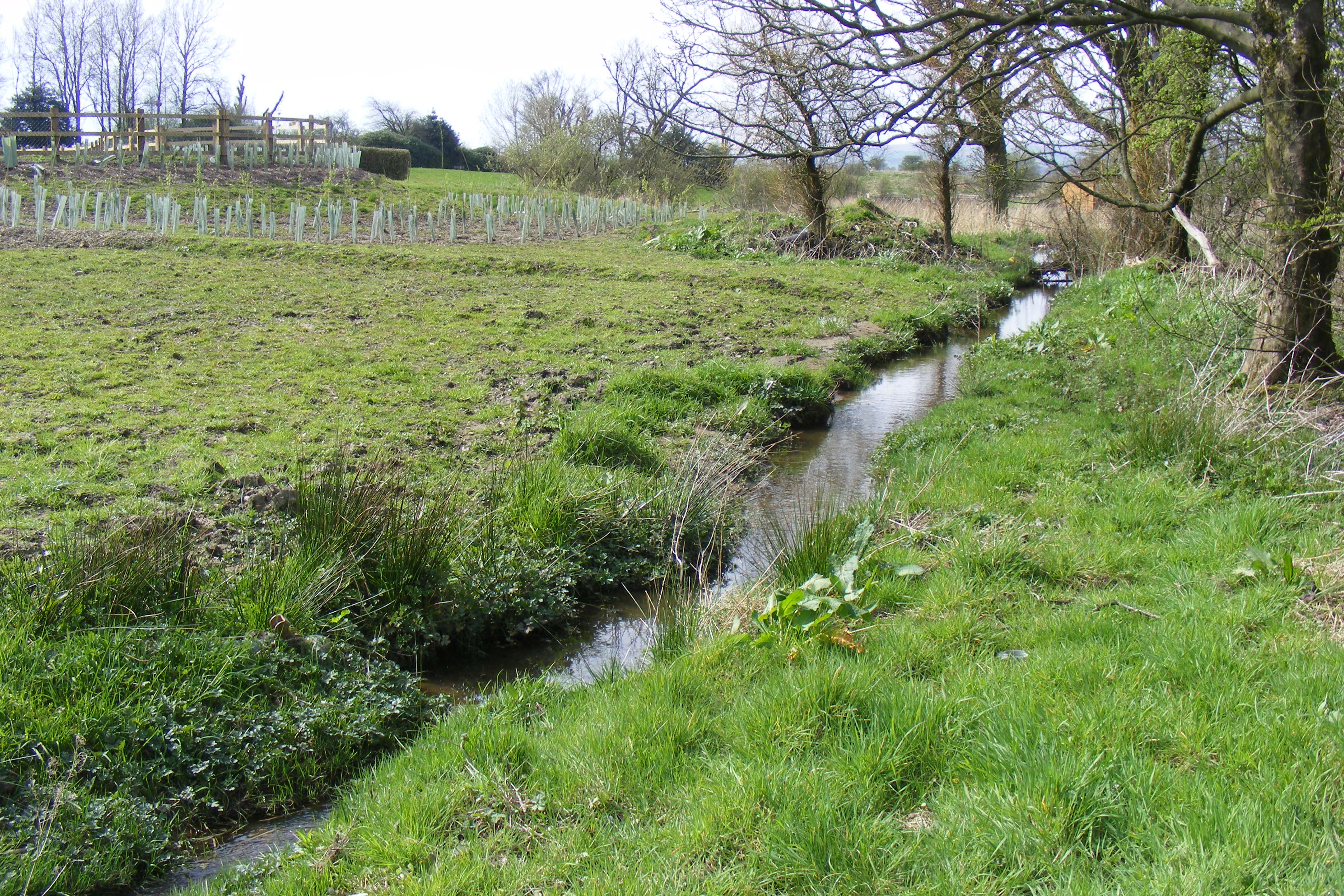
River Beal — Infobox River river name = River Beal |Upstream from Firgrove|200px caption = River Beal at Firgrove. origin = Beal Valley mouth = River Roch, Belfield basin countries = England length = elevation = mouth elevation = discharge = watershed =The… … Wikipedia
Belfield, Greater Manchester — infobox UK place country = England latitude= 53.61819 longitude= 2.127756 official name= Belfield population= metropolitan borough= Rochdale metropolitan county= Greater Manchester region= North West England constituency westminster= post town=… … Wikipedia
Civil parishes in Cheshire — A map of Cheshire, showing the Boroughs : (1) Cheshire West and Chester; (2) Cheshire East; (3) Warrington; and (4) Halton. A civil parish is a subnational entity, forming the lowest unit of local government in England. There are 332 civil… … Wikipedia
Delamere Forest — Deciduous woodland at Delamere Forest in autumn Delamere Forest or Delamere Forest Park is a wood in the Cheshire West and Chester area of Cheshire, England, near the town of Frodsham. It includes 972 hectares (2,400 acres) of mixed deciduous … Wikipedia
Chester — For the larger local government district, see Cheshire West and Chester. For other uses, see Chester (disambiguation). Coordinates: 53°11′33″N 2°53′30″W / 53.192 … Wikipedia
Neston — For the village in Wiltshire near Corsham town, see Corsham. Coordinates: 53°17′20″N 3°04′26″W / 53.289°N 3.074°W / 53.289; 3.074 … Wikipedia
Ellesmere Canal — The Ellesmere Canal was a canal in England and Wales, originally planned to link the Rivers Mersey, Dee, and Severn, by running from Netherpool (now known as Ellesmere Port) to Shrewsbury. The canal that was eventually constructed was very… … Wikipedia