Mistaken Island

Mistaken Island
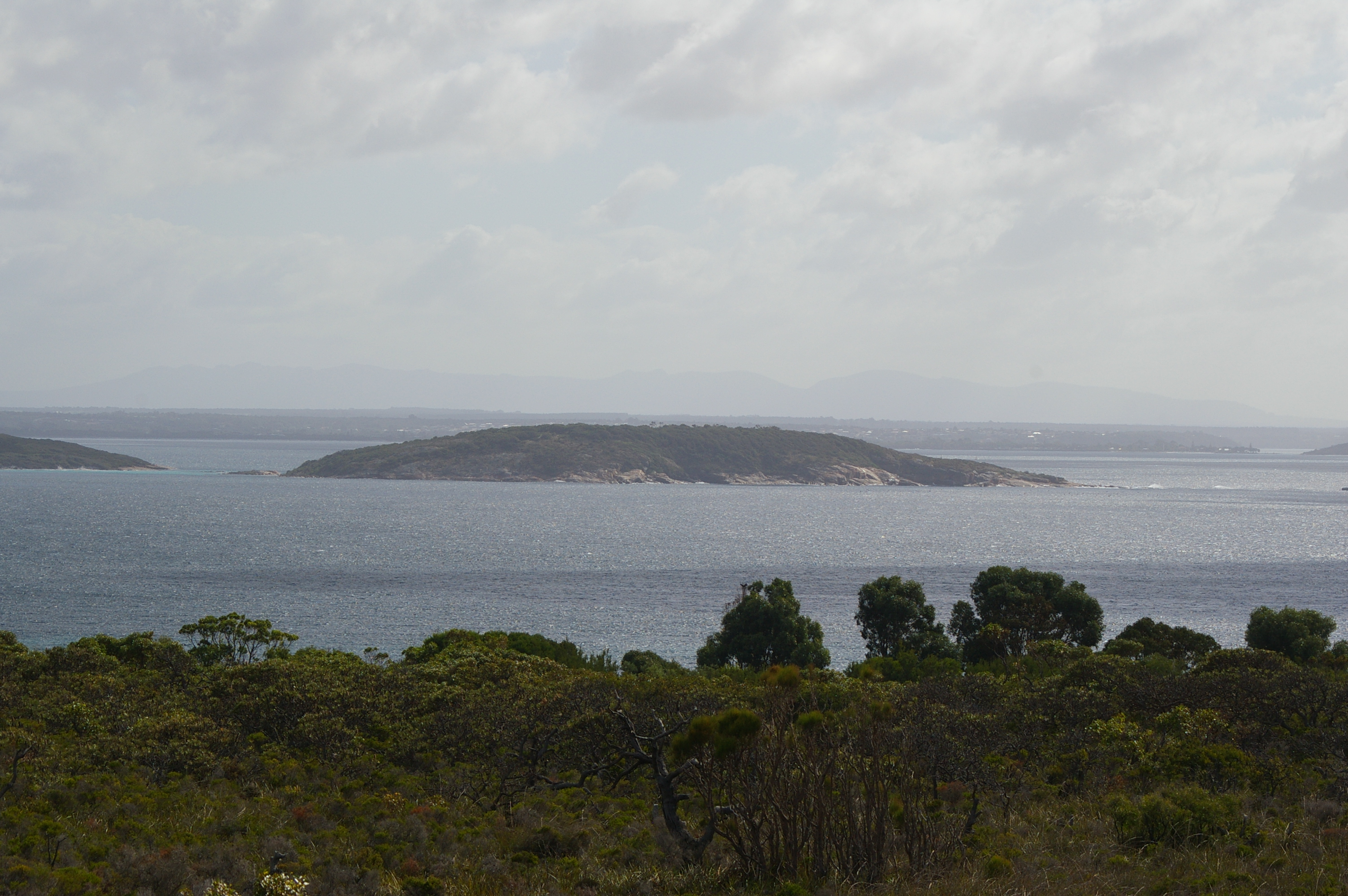
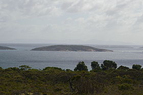
Mistaken Island from near Goode Beach
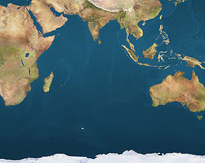
Mistaken Island is located in Indian Ocean
{{{alt}}}
Mistaken Island
Location of Mistaken Island

Mistaken Island is an island located approximately 5 kilometres (3 mi) South East of Albany, Western Australia.

Located in King George Sound [1] the island is located approximately 120 metres (394 ft) from Vancouver peninsula.

In 1971, the island was declared as a class 1A Nature Reserve with a total area of 12 hectares (30 acres). [2] The area adjacent to the island is used to cultivate mussels on long lines on licenses issued by the Department of fisheries and leases issued by the Albany Port Authority. [3]

References

Coordinates: 35°3′45″S 117°56′37″E / 35.0625°S 117.94361°E / -35.0625; 117.94361


Wikimedia Foundation. 2010.

Игры ⚽ Нужен реферат?

Look at other dictionaries:

  • Mistaken Point Ecological Reserve — IUCN Category III (Natural Monument) Location Newfoundland and Labrador, Canada Nearest  …   Wikipedia

  • Mistaken Identity (TV series) — Mistaken Identity Format Drama, Romance Created by GMA Entertainment TV Group …   Wikipedia

  • island — is·land (ī’lənd) n. 1) Abbr. Isl. or Is. or I. A landmass, especially one smaller than a continent, entirely surrounded by water. 2) Something resembling an island, especially in being isolated or surrounded, as: a) An unattached kitchen counter… …   Word Histories

  • Newport Tower (Rhode Island) — Newport Tower The Newport Tower. Origin Mill name Newport Tower Mill location …   Wikipedia

  • Réserve écologique de Mistaken Point — Catégorie UICN II (parc national)[1] Identifiant 18140 Pays …   Wikipédia en Français

  • Newfoundland (island) — This article is about the island in the North Atlantic Ocean. For the Canadian province of which it is a part, see Newfoundland and Labrador. For other uses, see Newfoundland (disambiguation). Newfoundland …   Wikipedia

  • Battle of Roanoke Island — Infobox Military Conflict conflict=Battle of Roanoke Island partof=the American Civil War color scheme=background:#ffcccc caption= Capture of Roanoke Island, Feby. 8th 1862 , by Currier and Ives date=February 7 ndash; February 8, 1862… …   Wikipedia

  • North Sentinel Island — Geography Coordinates 11°33′N 92°14′E /  …   Wikipedia

  • Cedar Island, North Carolina — Cedar Island is an island and a small coastal unincorporated community in eastern North Carolina and some folks believe that the area has a connection to the Roanoke Lost Colony of the late 1500s. Cedar Island is located in Carteret County and… …   Wikipedia

  • Dinosaur Island — For the DiC Entertainment animated film, see Dinosaur Island (2002 film). Dinosaur Island The Centre (Dinosaur Island) as presented in Justice League: The New Frontier …   Wikipedia

Share the article and excerpts

Direct link
Do a right-click on the link above
and select “Copy Link”