- Bergamo Alps
Geobox|Range
name=Bergamo Alps
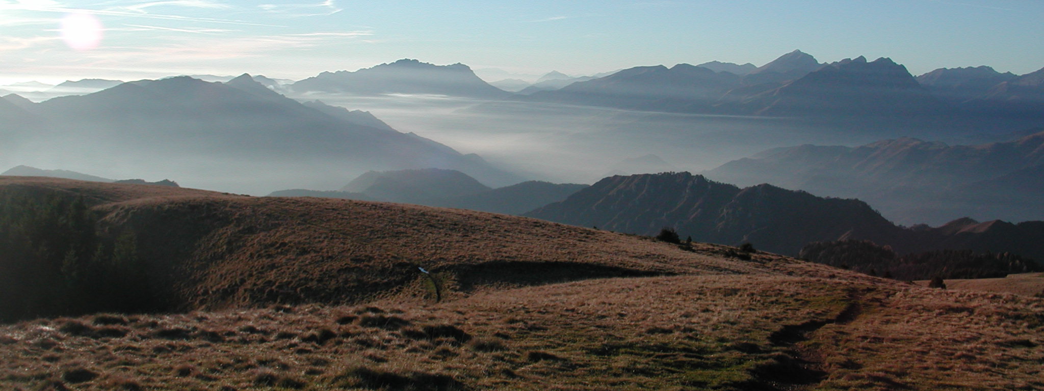
image_caption=Panorama of the Bergamo Alps fromVal Seriana
country=Italy
region= Lombardy
parent=Central Eastern Alps
border=Bregaglia Range| border1=Bernina Range| border2=Ortler Alps| border3=Adamello-Presanella
area= | length= | length_orientation=
width= | width_orientation=
highest=Pizzo di Coca
highest_elevation=3052
highest_lat_d=46|highest_lat_m=05|highest_lat_s=|highest_lat_NS=N
highest_long_d=09|highest_long_m=47|highest_long_s=|highest_long_EW=E
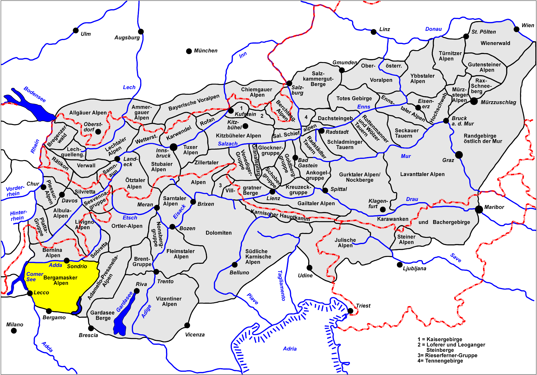
map_caption=Location of the Bergamo AlpsThe Bergamo Alps (also: "Bergamasque Alps"; Italian: "Prealpi Orobie") are a
mountain range in the ItalianAlps which forms part of theCentral Eastern Alps . They are located in northernLombardy and named after the cityBergamo , south of the mountains.The Bergamo Alps stretch between
Lake Como andLake Iseo . They are separated from the Bregaglia and Bernina ranges in the north by theAdda River valley (Valtellina ); from theOrtler Alps in the north-east by theAprica Pass ; from theAdamello-Presanella group in the east by theOglio valley (Val Camonica ).Peaks
The main peaks of the Bergamo Alps are:
Passes
The main
mountain pass es of the Bergamo Alps are:
Wikimedia Foundation. 2010.