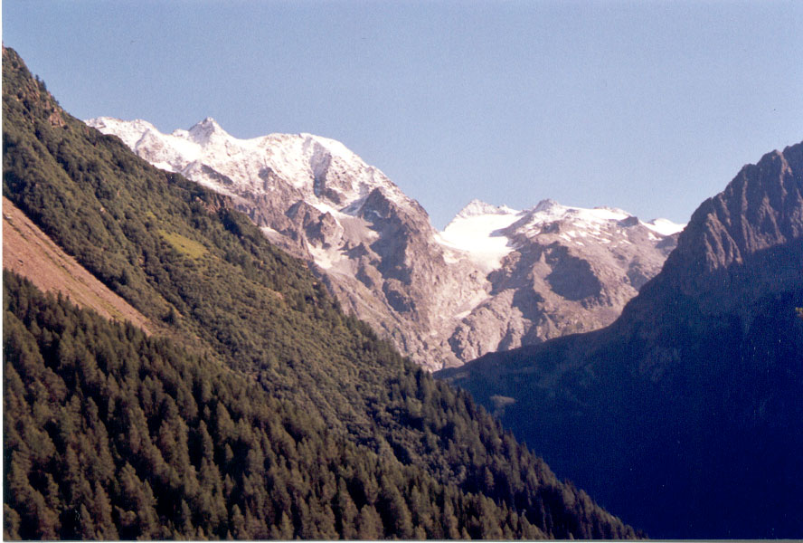
- Adamello-Presanella
Geobox|Range
name=Adamello-Presanella
other_name=

image_caption=Adamello seen from theTonale Pass road
country=Italy
region_type=
region=| region1=| region2=
parent=Southern Limestone Alps
border=| border1=
length_imperial=| length_orientation=
width_imperial= | width_orientation=
geology= | period= | orogeny=
highest=Cima Presanella
highest_elevation=3558
highest_lat_d=46|highest_lat_m=13|highest_lat_s=10|highest_lat_NS=N
highest_long_d=10|highest_long_m=39|highest_long_s=51|highest_long_EW=E
map_caption=The Adamello-Presanella Group is amountain range in the ItalianAlps . It is part of theSouthern Limestone Alps . It is located in the provinces of Trento and Brescia. The name stems from its highest peaks:Adamello andPresanella .The Adamello-Presanella Group is separated from the
Ortler Alps in the north by theTonale Pass ; from theBergamo Alps in the west by theOglio valley (ValCamonica ); from theBrenta Group in the east by theCampo Carlo Magno Pass and the riverSarca ; to the south it continues towardsLake Iseo .Peaks
The main peaks of the Adamello-Presanella Group are:
Passes
The main
mountain pass es of the Adamello-Presanella Group are:
Wikimedia Foundation. 2010.
