- Crumpler, North Carolina
-
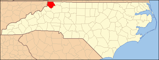
Coordinates: 36°30′14″N 81°23′39″W / 36.50389°N 81.39417°W Crumpler is an unincorporated community on North Carolina Highway 16 in Ashe County, North Carolina, United States. It lies east of Warrensville, northeast of Jefferson, and north of Chestnut Hill, at an elevation of 2559 feet (780 m).
References
Municipalities and communities of Ashe County, North Carolina Towns 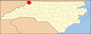
Townships Chestnut Hill | Clifton | Creston | Elk | Grassy Creek | Helton | Horse Creek | Hurricane | Jefferson | Laurel | North Fork | Obids | Old Fields | Peak Creek | Pine Swamp | Piney Creek | Pond Mountain | Walnut Hill | West Jefferson
Unincorporated
communitiesBeaver Creek | Bina | Chestnut Hill | Clifton | Comet | Creston | Crumpler | Fig | Grassy Creek | Grayson | Helton | Parker | Scottville | Sturgills | Todd | Warrensville
Categories:- Populated places in Ashe County, North Carolina
- Unincorporated communities in North Carolina
- North Carolina geography stubs
Wikimedia Foundation. 2010.