- Bittou Department
Infobox Settlement
name =Bittou
settlement_type =Department
official_name =
other_name =
native_name =
nickname =
motto =
imagesize =
image_caption =
flag_size =
image_
seal_size =
image_shield =
shield_size =
image_blank_emblem =
blank_emblem_size =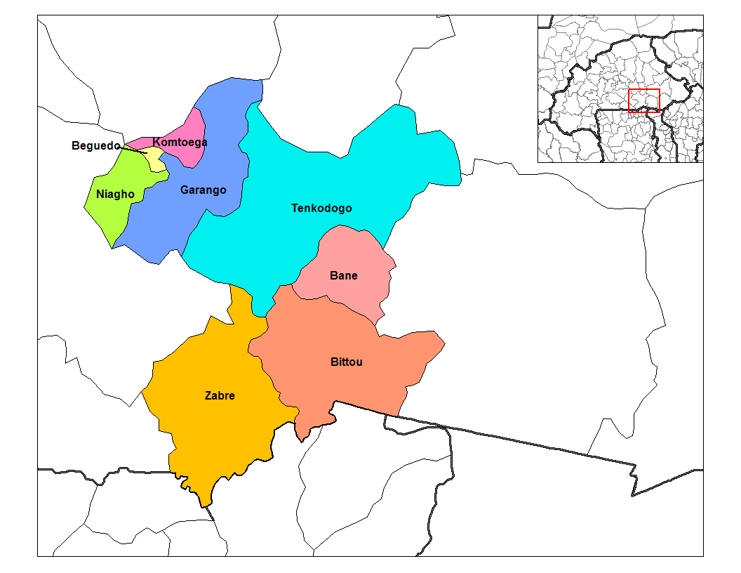
mapsize = 350px
map_caption = PAGENAME location in the province
mapsize1 =
map_caption1 =
pushpin_
pushpin_label_position =
subdivision_type = Country
subdivision_name = flag|Burkina Faso
subdivision_type1 = Province
subdivision_name1 =Boulgou Province
subdivision_type2 =
subdivision_name2 =
seat_type =
seat =
government_type =
leader_title =
leader_name =
leader_title1 =
leader_name1 =
established_title =
established_date =
area_magnitude =
unit_pref =Imperial
area_footnotes =
area_total_km2 =
area_land_km2 =
area_water_km2 =
area_total_sq_mi =
area_land_sq_mi =
area_water_sq_mi =
area_water_percent =
area_urban_km2 =
area_urban_sq_mi =
area_metro_km2 =
area_metro_sq_mi =
population_as_of = 1996
population_footnotes =
population_note =
population_total = 34,496
population_density_km2 =
population_density_sq_mi =
population_metro =
population_density_metro_km2 =
population_density_metro_sq_mi =
population_urban =
population_density_urban_km2 =
population_density_urban_mi2 =
timezone = GMT 0
utc_offset = +0
timezone_DST =
utc_offset_DST =
latd=|latm=|lats=|latNS=
longd=|longm=|longs= |longEW=
elevation_footnotes =
elevation_m =
elevation_ft =
postal_code_type =
postal_code =
area_code =
website =
footnotes =Bittou is a department or commune of
Boulgou Province in easternBurkina Faso . Its capital lies at the town ofBittou . According to the 1996 census the department has a total population of 34,496. [ [http://www.inforoute-communale.gov.bf/list_vill/centre_est.htm Burkinabé government inforoute communale] ]Towns and villages
*
Bittou (15 459 habitants) (capital)
*Bekoure (2 676 habitants)
*Belayerla (1 230 habitants)
*Bourzoaga (17 habitants)
*Dema (1 535 habitants)
*Fottigue (2 698 habitants)
*Garanga (1 561 habitants)
*Gnangdin (4 495 habitants)
*Kankamogre (3 028 habitants)
*Kankamogre-Peulh (960 habitants)
*Kanyire (1 940 habitants)
*Kodemzoaga (594 habitants)
*Komtenga (157 habitants)
* Largue (621 habitants)
*Loaba (3 518 habitants)
*Loaba-Peulh (1 768 habitants)
*Mogande (350 habitants)
*Mogande-Peulh (350 habitants)
*Mogomnore (2 422 habitants)
*Nianle (1 574 habitants)
*Nohao (1 555 habitants)
*Sangabouli (1 164 habitants)
*Sawenga (5 039 habitants)
* Tiba (1 692 habitants)
*Zambanega (1 046 habitants)
* Zampa (1 974 habitants)
*Zekeze (2 571 habitants)References
Wikimedia Foundation. 2010.