Nijhuizum

Nijhuizum
Nijhuizum
—  Village  —
Country Netherlands Netherlands
Province Friesland Friesland
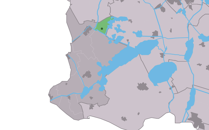
Population
 - Total c. 40

Nijhuizum (West Frisian: Nijhuzum is a hamlet in Nijefurd in the province Friesland of the Netherlands and has around the 40 citizens (2004).

Coordinates: 52°59′N 5°29′E / 52.983°N 5.483°E / 52.983; 5.483


Wikimedia Foundation. 2010.

Игры ⚽ Поможем сделать НИР

Look at other dictionaries:

  • Nijhuizum — 52° 59′ 00″ N 5° 29′ 00″ E / 52.9833, 5.48333 …   Wikipédia en Français

  • Nijhuzum — Nijhuizum Nijhuizum Vue de la localité sur la carte des Pays Bas Pays  Pays Bas …   Wikipédia en Français

  • Nijefurd —   Former municipality   Flag …   Wikipedia

  • Kinderdijk — Coordinates: 51°53′N 4°38′E / 51.883°N 4.633°E / 51.883; 4.633 …   Wikipedia

  • List of places in the Netherlands — This is an alphabetical list of places (cities, towns, villages) in the Netherlands. Lists per province can be found at:* List of towns in Groningen * List of towns in Friesland * List of towns in Drente * List of towns in Overijssel * List of… …   Wikipedia

  • De Adriaan, Haarlem — Windmill De Adriaan De Adriaan is a windmill in the Netherlands that burnt down in 1932 and was rebuilt in 2002. The original windmill dates from 1779 and the mill has been a distinctive part of the skyline of Haarlem for centuries. Contents …   Wikipedia

  • Abbega — 53°1′7″N 5°34′13″E / 53.01861, 5.57028 …   Wikipédia en Français

  • Allingawier — 53°2′50″N 5°26′42″E / 53.04722, 5.445 …   Wikipédia en Français

  • Arum (Frise) — 53°7′47″N 5°28′31″E / 53.12972, 5.47528 …   Wikipédia en Français

  • Blauwhuis — 53°1′21″N 5°31′56″E / 53.0225, 5.53222 …   Wikipédia en Français

Share the article and excerpts

Direct link
Do a right-click on the link above
and select “Copy Link”