Oudehorne

Oudehorne
Oudehorne
—  Village  —
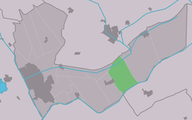
Country Netherlands Netherlands
Province Friesland Friesland
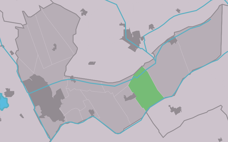
Population
 - Total c. 865

Oudehorne (West Frisian: Aldehoarne) is a small village in Heerenveen in the province Friesland of the Netherlands and has around the 865 citizens (2006).

Coordinates: 52°57′45″N 6°4′50″E / 52.9625°N 6.08056°E / 52.9625; 6.08056


Wikimedia Foundation. 2010.

Игры ⚽ Поможем сделать НИР

Look at other dictionaries:

  • Oudehorne — 52°57′45″N 6°4′50″E / 52.9625, 6.08056 …   Wikipédia en Français

  • Aldehoarne — Oudehorne 52°57′45″N 6°4′50″E / 52.9625, 6.08056 …   Wikipédia en Français

  • Heerenveen — Infobox Settlement official name = Heerenveen image seal size = 70px mapsize = 280px subdivision type = Country subdivision name = Netherlands subdivision type1 = Province subdivision name1 = Friesland area footnotes = (2006) area total km2 = 140 …   Wikipedia

  • List of places in the Netherlands — This is an alphabetical list of places (cities, towns, villages) in the Netherlands. Lists per province can be found at:* List of towns in Groningen * List of towns in Friesland * List of towns in Drente * List of towns in Overijssel * List of… …   Wikipedia

  • Heerenveen — Gemeinde Heerenveen Flagge Wappen Provinz …   Deutsch Wikipedia

  • Aldskoat — Oudeschoot 52°56′5″N 5°57′17″E / 52.93472, 5.95472 …   Wikipédia en Français

  • Bontebok (Frise) — 52°57′47″N 6°1′32″E / 52.96306, 6.02556 …   Wikipédia en Français

  • De Knijpe — De Knipe 52°58′7″N 5°58′16″E / 52.96861, 5.97111 …   Wikipédia en Français

  • De Knipe — 52°58′7″N 5°58′16″E / 52.96861, 5.97111 …   Wikipédia en Français

  • Gersleat — Gersloot 53°0′23″N 5°57′51″E / 53.00639, 5.96417 …   Wikipédia en Français

Share the article and excerpts

Direct link
Do a right-click on the link above
and select “Copy Link”