Kolderwolde — 52°53′50″N 5°30′36″E / 52.89722, 5.51 … Wikipédia en Français
Kolderwâlde — Kolderwolde 52°53′50″N 5°30′36″E / 52.89722, 5.51 … Wikipédia en Français
Gaasterlan-Sleat — Gaasterlân Sleat Gaasterlân Sleat … Wikipédia en Français
Gaasterland — Gaasterlân Sleat Gaasterlân Sleat … Wikipédia en Français
Gaasterland-Sloten — Gaasterlân Sleat Gaasterlân Sleat … Wikipédia en Français
Gaasterlân-Sleat — Héraldique … Wikipédia en Français
Gaasterlân-sleat — Gaasterlân Sleat … Wikipédia en Français
Hemelumer Oldeferd — Hemelumer Oldephaert en Noordwolde Ancienne commune des Pays Bas Histoire Administration Pays … Wikipédia en Français
Hemelumer Oldephaert en Noordwolde — Hemelumer Oldeferd Hemelumer Oldeferd Hemelumer Oldephaert en Noordwolde Province Frise Date de création avant 1800 Date de suppression 1984 Fusionnée dans … Wikipédia en Français
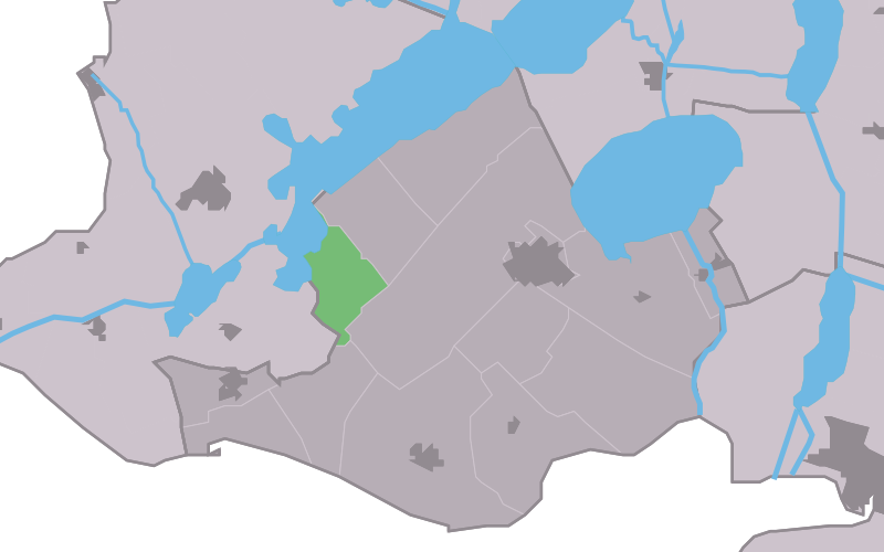
Gaasterlân-Sleat — Infobox Settlement official name = Gaasterlân Sleat image seal size = 70px other name = Gaasterland Sloten mapsize = 280px subdivision type = Country subdivision name = Netherlands subdivision type1 = Province subdivision name1 = Friesland area… … Wikipedia