- Manombo Sud
-
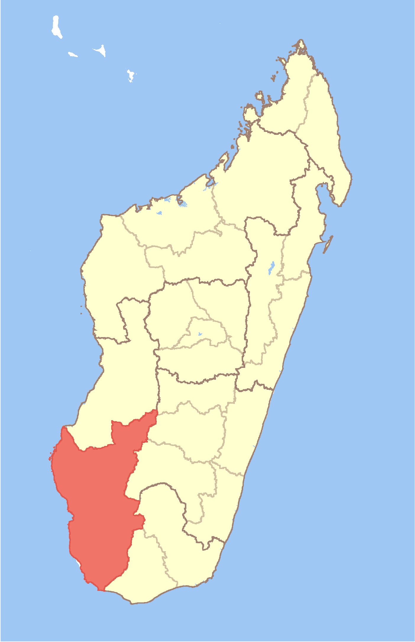
Manombo Sud 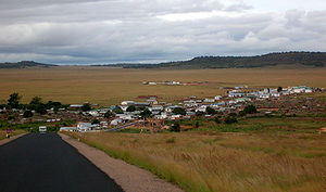 Location in Madagascar
 Manombo Sud
Coordinates: 22°57′S 43°28′E / 22.95°S 43.467°E Country  Madagascar
Region Atsimo-Andrefana District Toliara II Elevation[1] 11 m (36 ft) Population (2001)[2] - Total 17,000 Time zone EAT (UTC3) Manombo Sud is a town and commune (Malagasy: kaominina) in Madagascar. It belongs to the district of Toliara II, which is a part of Atsimo-Andrefana Region. The population of the commune was estimated to be approximately 17,000 in 2001 commune census.[2]
Primary and junior level secondary education are available in town. The majority 55% of the population works in fishing. 35% are farmers, while an additional 5% receives their livelihood from raising livestock. The most important crops are cassava and sugarcane, while other important agricultural products are maize and lima beans. Services provide employment for 5% of the population.[2]
References and notes
- ^ Estimated based on DEM data from Shuttle Radar Topography Mission
- ^ a b c "ILO census data". Cornell University. 2002. http://www.ilo.cornell.edu/ilo/data.html. Retrieved 2008-03-13.
Ampanihy 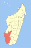
Ankazoabo Benenitra Beroroha Betioky Sud Andranomangatsiaka · Antohabato · Beantake · Beavoha · Belamoty · Betioky · Bezaha · Fenoandala · Lazarivo · Manalobe · Masiaboay · Montifeno · Salobe · Soamanonga · Soaserana · Tameantsoa · Tanambao Ambony · Tongobory · VatolatsakaMorombe Sakaraha Ambinany · Amboronabo · Andalamasina Vineta · Andranolava · Bereketa · Mahaboboka · Miary Lamatihy · Miary Taheza · Mihavatsy · Mikoboka · SakarahaToliara I Toliara II Ambohimahavelona · Ambolofoty · Analamisampy · Andranovory · Ankililoake · Ankilimalinike · Antanimena · Beheloke · Behompy · Belalanda · Mandrofify · Manombo Sud · Marofoty · Maromiandra · Miary · Milenaka · Saint Augustin · Soalara · TsianisihaCoordinates: 22°57′S 43°28′E / 22.95°S 43.467°E

This Atsimo-Andrefana location article is a stub. You can help Wikipedia by expanding it.