- Manambolosy
-
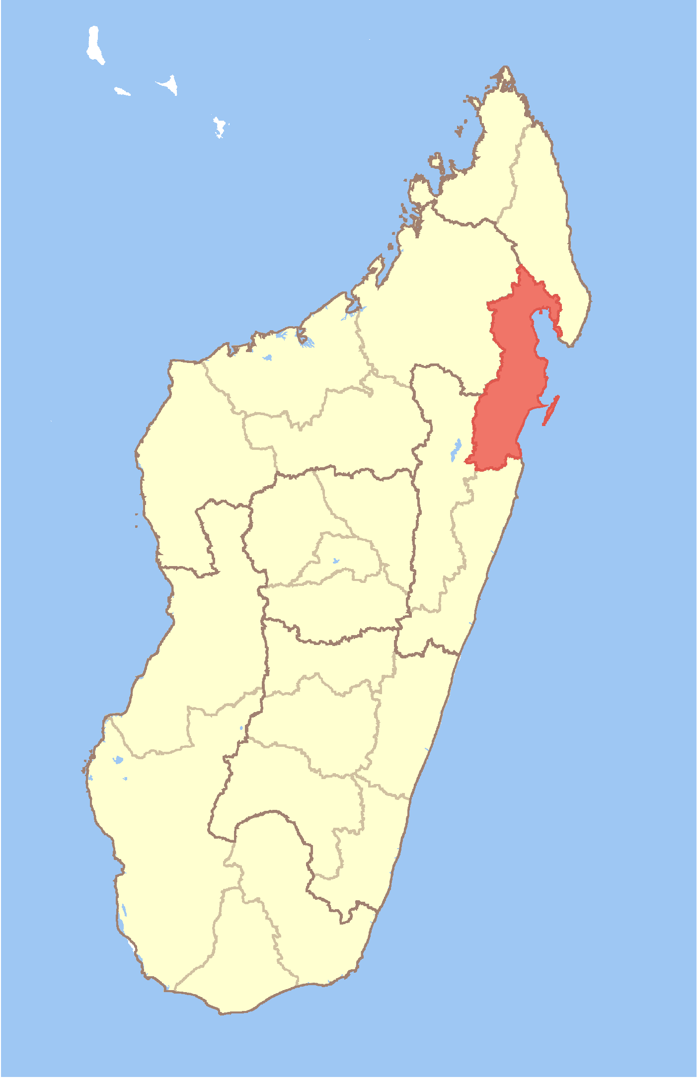
Manambolosy Location in Madagascar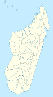
 Manambolosy
Coordinates: 16°2′S 49°40′E / 16.033°S 49.667°E Country  Madagascar
Region Analanjirofo District Mananara Nord Elevation[1] 22 m (72 ft) Population (2001)[2] - Total 11,000 Time zone EAT (UTC3) Manambolosy is a town and commune (Malagasy: kaominina) in Madagascar. It belongs to the district of Mananara Nord, which is a part of Analanjirofo Region. The population of the commune was estimated to be approximately 11,000 in 2001 commune census.[2]
Primary and junior level secondary education are available in town. The majority 96% of the population of the commune are farmers. The most important crop is cloves, while other important products are coffee, rice and vanilla. Services provide employment for 3% of the population. Additionally fishing employs 1% of the population.[2]
References and notes
- ^ Estimated based on DEM data from Shuttle Radar Topography Mission
- ^ a b c "ILO census data". Cornell University. 2002. http://www.ilo.cornell.edu/ilo/data.html. Retrieved 2008-03-07.
Fenerive Est 
Mananara Nord Ambatoharanana · Ambodiampana · Ambodivoanio · Antanambaobe · Antanambe · Manambolosy · Mananara Nord · Sandrakatsy · Saromaona · Tanibe · VanonoMaroantsetra Ambinanitelo · Andranofotsy · Androndrono · Anjanazana · Ankofa · Antakotako · Antsahana · Antsirabe Sahatany · Manambolo · Maroantsetra · Rantabe · VoloinaSainte Marie Soanierana Ivongo Vavatenina Ambatoharanana · Ambodimangavalo · Ambohibe · Ampasimazava · Andasibe · Anjahambe · Maromitety · Miarinarivo · Sahatavy · VavateninaCoordinates: 16°2′S 49°40′E / 16.033°S 49.667°E

This Analanjirofo location article is a stub. You can help Wikipedia by expanding it.