- Maevatanana II
-
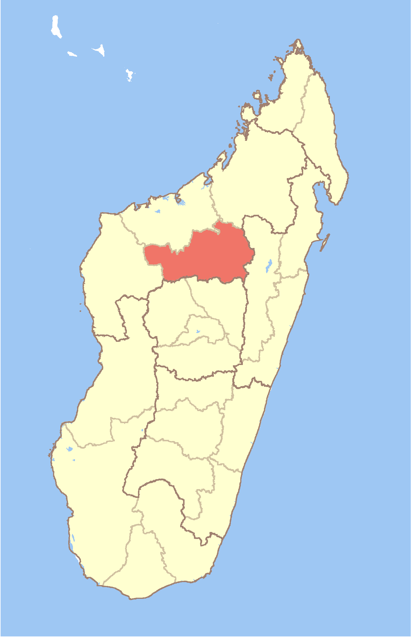
Maevatanana II Country  Madagascar
Region Betsiboka District Maevatanana Population (2001)[1] - Total 16,000 Time zone EAT (UTC3) Maevatanana II is a town and commune (Malagasy: kaominina) in Madagascar. It belongs to the district of Maevatanana, which is a part of Betsiboka Region. The population of the commune was estimated to be approximately 16,000 in 2001 commune census.[1]
Maevatanana II has a riverine harbour. Only primary schooling is available. The majority 80% of the population of the commune are farmers, while an additional 15% receives their livelihood from raising livestock. The most important crops are rice and tobacco, while other important agricultural products are peanuts and cassava. Additionally fishing employs 5% of the population.[1]
References and notes
- ^ a b c "ILO census data". Cornell University. 2002. http://www.ilo.cornell.edu/ilo/data.html. Retrieved 2008-03-05.
Kandreho 
Maevatanana Ambalajia · Ambalanjanakomby · Andriba · Antanimbary · Antsiafabositra · Bemokotra · Beratsimanana · Madiromirafy · Maevatanana · Maevatanana II · Mahatsinjo · Mahazoma · Mangabe · Maria · Morafeno · TsararanoTsaratanana Ambakireny · Andriamena · Bekapaika · Betrandraka · Brieville · Keliloha · Manakana · Sarobaratra · Tsararova · TsaratananaCoordinates: 16°57′00″S 46°50′00″E / 16.95°S 46.8333°E

This Betsiboka location article is a stub. You can help Wikipedia by expanding it.