- Boeny
Infobox Settlement
official_name = Boeny Region
other_name =
native_name =
nickname =
settlement_type = Region
motto =
imagesize =
image_caption =
flag_size =
image_
seal_size =
image_shield =
shield_size =
image_blank_emblem =
blank_emblem_type =
blank_emblem_size =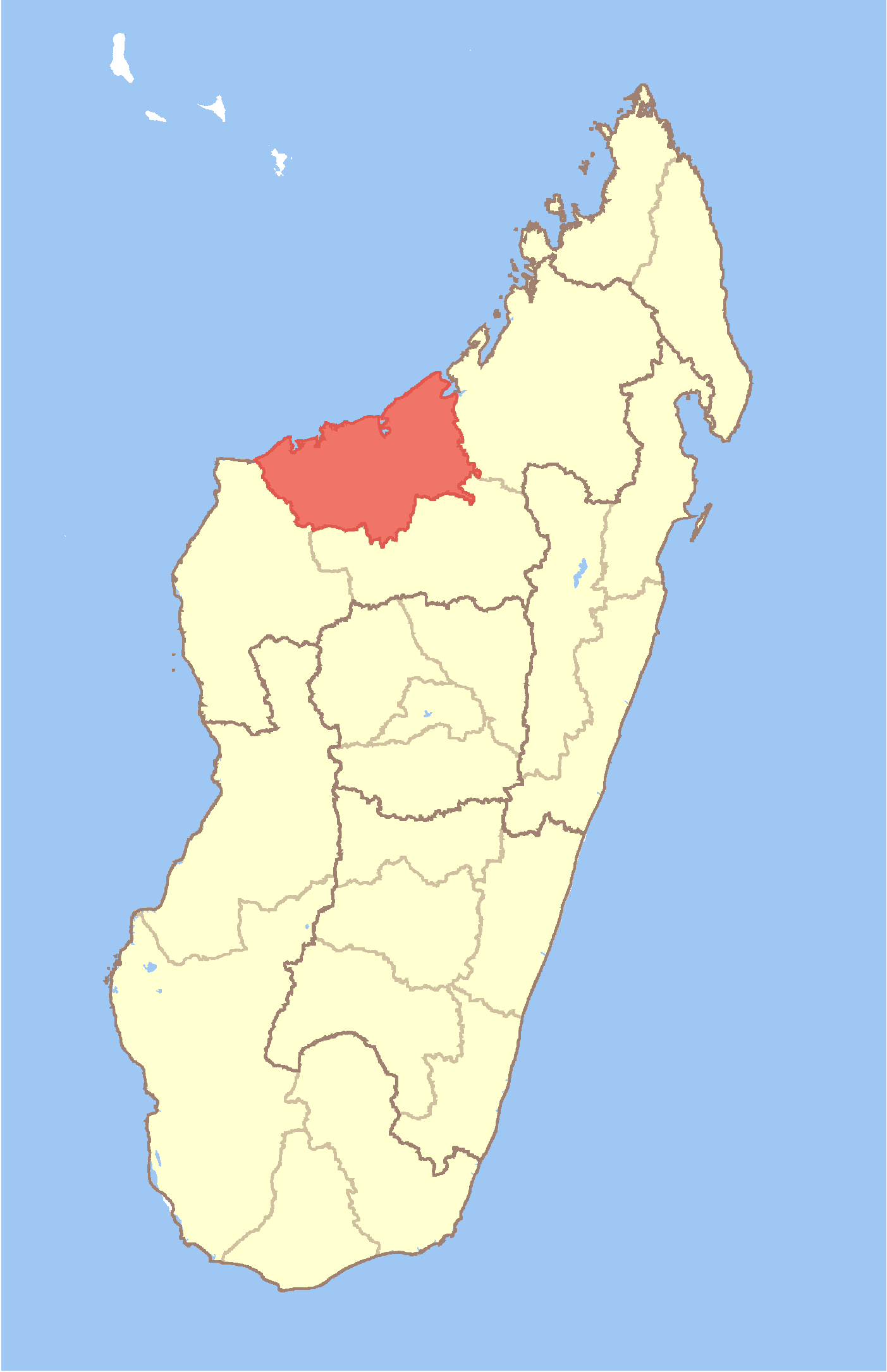
mapsize = 180px
map_caption = Location in Madagascar
mapsize1 =
map_caption1 =
image_dot_
dot_mapsize =
dot_map_caption =
dot_x = |dot_y =
pushpin_
pushpin_label_position =
pushpin_map_caption =
pushpin_mapsize =
subdivision_type = Country
subdivision_name = MAD
subdivision_type1 = Province
subdivision_name1 = Mahajanga
subdivision_type2 =
subdivision_name2 =
subdivision_type3 =
subdivision_name3 =
subdivision_type4 =
subdivision_name4 =
seat_type = Capital
seat =Mahajanga
government_footnotes =
government_type =
leader_title =
leader_name =
leader_title1 =
leader_name1 =
leader_title2 =
leader_name2 =
leader_title3 =
leader_name3 =
leader_title4 =
leader_name4 =
established_title =
established_date =
established_title2 =
established_date2 =
established_title3 =
established_date3 =
area_magnitude =
unit_pref =
area_footnotes =
area_total_km2 = 31046
area_land_km2 =
area_water_km2 =
area_total_sq_mi =
area_land_sq_mi =
area_water_sq_mi =
area_water_percent =
area_urban_km2 =
area_urban_sq_mi =
area_metro_km2 =
area_metro_sq_mi =
area_blank1_title =
area_blank1_km2 =
area_blank1_sq_mi =
population_as_of =2004
population_footnotes =
population_note =
population_total =543200
population_density_km2 =17.5
population_density_sq_mi =
population_blank1_title =Ethnicities
population_blank1 =
population_blank2_title =Religions
population_blank2 =
timezone = EAT
utc_offset = 3
timezone_DST =
utc_offset_DST =
latd= |latm= |lats= |latNS=S
longd=|longm= |longs= |longEW=E
elevation_footnotes =
elevation_m =
elevation_ft =
postal_code_type =
postal_code =
area_code =
blank_name =
blank_info =
blank1_name =
blank1_info =
website =
footnotes =Boeny is a region in
Mahajanga Province of westernMadagascar . It bordersSofia Region in northeast,Betsiboka in south andMelaky in west. The capital of the region isMahajanga , and the population was estimated to be 543,200 in 2004. The area of Boeny is convert|31046|km2|sqmi|0|lk=on|abbr=on.cite web
url = http://documents.wfp.org/stellent/groups/public/documents/ena/wfp086538.pdf
title = Madagascar: Profil des marchés pour les évaluations d’urgence de la sécurité alimentaire
accessdate = 2008-03-01
language=French
publisher=Programme Alimentaire Mondial, Service de l’Evaluation des besoins d’urgence (ODAN)
author=Ralison, Eliane
coauthors=Goossens, Frans]It is divided into six districts:
*Ambato-Boeni
*Mahajanga I
*Mahajanga II
*Marovoay
*Mitsinjo
*SoalalaReferences
Wikimedia Foundation. 2010.