- Matatoki
-
Matatoki 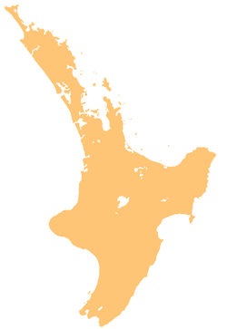
 Matatoki
Coordinates: 37°12′28″S 175°36′24″E / 37.20778°S 175.60667°E Country New Zealand Region Waikato District Thames-Coromandel District Matatoki is a locality on the Hauraki Plains of New Zealand. It lies on State Highway 26, south east of Thames and north of Paeroa. The Matatoki Stream runs from the Coromandel Range through the area to join the Waihou River.[1][2]
The Kopu sawmill, a few km north of Matatoki, closed at the end of June, 2008, with the loss of 145 jobs.[3]
Education
Matatoki School is a coeducational full primary (years 1-8) school with a decile rating of 9 and a roll of 64.[4]
Coordinates: 37°12′28″S 175°36′24″E / 37.20778°S 175.60667°E
Notes
- ^ Peter Dowling (editor) (2004). Reed New Zealand Atlas. Reed Books. pp. map 15. ISBN 0-7900-0952-8.
- ^ Roger Smith, GeographX (2005). The Geographic Atlas of New Zealand. Robbie Burton. pp. map 44. ISBN 1-877333-20-4.
- ^ "Kopu mill to close, 145 jobs to be lost". The New Zealand Herald. 6 May 2008. http://www.nzherald.co.nz/section/1/story.cfm?c_id=1&objectid=10508334.
- ^ "Te Kete Ipurangi - Matatoki School". Ministry of Education. http://www.tki.org.nz/e/schools/display_school_info.php?school_id=1819.
Categories:- Thames-Coromandel District
- Populated places in New Zealand
- Waikato Region geography stubs

Wikimedia Foundation. 2010.