- Ajim
Infobox Settlement
official_name = Ajim
other_name =
native_name =
nickname =
settlement_type =
motto =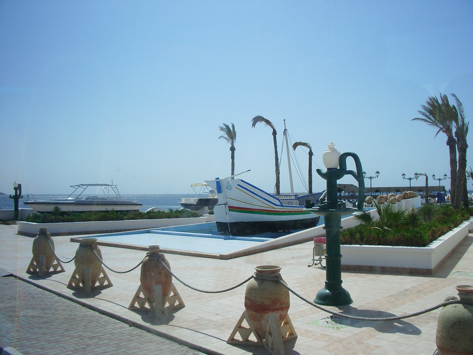
imagesize = 300px
image_caption =
flag_size =
image_
seal_size =
image_shield =
shield_size =
image_blank_emblem =
blank_emblem_type =
blank_emblem_size =
mapsize =
map_caption =
mapsize1 =
map_caption1 =
image_dot_
dot_mapsize =
dot_map_caption =
dot_x = |dot_y =
pushpin_
pushpin_label_position =bottom
pushpin_map_caption =Location in Tunisia
subdivision_type = Country
subdivision_name =
subdivision_type1 = Governorate
subdivision_name1 =Medenine Governorate
subdivision_type2 =
subdivision_name2 =
subdivision_type3 =
subdivision_name3 =
subdivision_type4 =
subdivision_name4 =
government_footnotes =
government_type =
leader_title =
leader_name =
leader_title1 =
leader_name1 =
leader_title2 =
leader_name2 =
leader_title3 =
leader_name3 =
leader_title4 =
leader_name4 =
established_title =
established_date =
established_title2 =
established_date2 =
established_title3 =
established_date3 =
area_magnitude =
unit_pref =Imperial
area_footnotes =
area_total_km2 =
area_land_km2 =
area_water_km2 =
area_total_sq_mi =
area_land_sq_mi =
area_water_sq_mi =
area_water_percent =
area_urban_km2 =
area_urban_sq_mi =
area_metro_km2 =
area_metro_sq_mi =
area_blank1_title =
area_blank1_km2 =
area_blank1_sq_mi =
population_as_of =2008
population_footnotes =
population_note =
population_total =20,000
population_density_km2 =
population_density_sq_mi =
population_metro =
population_density_metro_km2 =
population_density_metro_sq_mi =
population_urban =
population_density_urban_km2 =
population_density_urban_sq_mi =
population_blank1_title =Ethnicities
population_blank1 =
population_blank2_title =Religions
population_blank2 =
population_density_blank1_km2 =
population_density_blank1_sq_mi =
timezone =CET
utc_offset = 1
timezone_DST =
utc_offset_DST =
latd=33|latm=43|lats= |latNS=N
longd=10|longm=45|longs= |longEW=E
elevation_footnotes =
elevation_m =
elevation_ft =
postal_code_type =
postal_code =
area_code =
blank_name =
blank_info =
blank1_name =
blank1_info =
website =
footnotes =Ajim ( _ar. أجيم) is a port city located in the Island of
Djerba off the west coast ofTunisia . It is Djerba's main fishing port and the closest city to the African continent. It has a population of around 20,000 people as of 2008. The city and surrounding areas were used as a filming location for the "Star Wars " films. Tourists can visit Obi-Wan Kenobi’s house,and theMos Eisley Cantina as well as other buildings featured in the series.Topographic Map & Satellite View
References
http://theswca.com/travel/tunisia/ajim/ajim.html

Wikimedia Foundation. 2010.