- Braunstonbury
Geobox|Lost Settlement
name = Braunstonbury
category = Lost Settlement
.jpg)
image_caption = The site of Braunstonbury
symbol =
country =England
state =Northamptonshire
region =East Midlands
district =Daventry
municipality =Braunston
location = South-west of the village of Braunston
elevation =
prominence =
established =
date =
owner =
public =
visitation =
visitation_date =
free = | free_type =
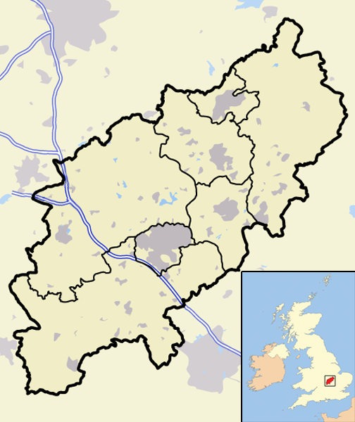
map_caption = Braunstonbury withinNorthamptonshire
map_background =
map_locator =
map_locator_x =17
map_locator_y =58
website =
footnotes =Map Ref: SP533656The lost village of Braunstonbury lies in low ground south-west of the
village ofBraunston in the English county ofNorthamptonshire . [’OS’ Explorer Map, Rugby & Daventry 222, ISBN 978 0 319 23734 2 ] Its site is on the eastern bank of theRiver Leam , which also marks the border between Northamptonshire andWarwickshire . ["An Inventory of Archaeological Sites in North-West Northamptonshire", (1981) HMSO, page 22. ISBN 0 11 700900 8] Adjacent to the site on the west side of the river Leam is the site of the lost village ofWolfhampcote which straddled the county border of both counties.History
Very little information is known about Braunstonbury, probably because it was regarded as part of the nearby village of Braunston. It has never been listed separately in taxation records. It is thought that the settlement was part of the 11th-century manor which belonged to William Trusbott. The settlement passed to his daughter, Hilary de Bulliers, who in turn left the village to the Abbey of Lilleshall in the county of
Shropshire . At the time of thedissolution of the monasteries the settlement and land was sold to theEarl of Rutland , who already owned property in the vicinity. An estate map of 1785 ["An Inventory of Archaeological Sites in North-West Northamptonshire", page 22] shows the area lacking any buildings although the undoubtedmedieval boundaries of Braunstonbury are shown.Remains Today
The remains of the village lie within an almost square area of land bounded to the north by a low valley which was once occupied by
fishpond s. On the western boundary are the remains of a bank approximately 1.5 to 2 metres high. On the southern boundary is a low bank which runs into the remains of a (now disused) railway line that was built across part of the southern boundary. There are also the remains of a low bank on the eastern boundary of the village. Cutting across the north-west corner of the site is a hollowed way which was once the lane that connected the village to nearby Braunston. In the north-west corner there is a very defined rectangular ditch around a raised platform where once stood amedieval manor house . The rest of the village can be made out by extensive earthworks and some traces of stonework can be found. A large quantity of medievalpottery dating from the 14th and 15th centuries has been found along the edge of a stream that runs along the northern boundary of the settlement. The stream once fed the fishponds that filled the low valley here. ["An Inventory of Archaeological Sites in North-West Northamptonshire", page 23]In the Vicinity
The area around the lost settlement is rich in
industrial archaeology . The remains of the original route of theOxford Canal , which was abandoned in the 1830s, can be traced through the area. There are also the remains of two abandonedrailway lines, the first being the old Weedon toLeamington Spa railway, which closed in 1963, and the second being theGreat Central Railway , which closed in 1966. The former passes over the southern boundaries of the village and quite close to Wolfhampcote church.References
Wikimedia Foundation. 2010.