- Oromahoe
-
Oromahoe 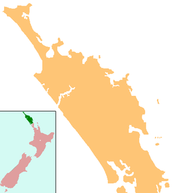
 Oromahoe
Coordinates: 35°19′14″S 173°58′38″E / 35.32056°S 173.97722°E Country New Zealand Region Northland Region District Far North District Oromahoe is a locality in Northland, New Zealand. It lies on Highway 10.
Education
Oromahoe School is a coeducational full primary (years 1-8) school with a decile rating of 6 and a roll of 58 in 2009.[1] It was established as a mission school in the 1870s, and later became a Native School.[2] More than 80% of students live outside the school bus area and are transported to and from school by private vehicles.[3]
Coordinates: 35°19′14″S 173°58′38″E / 35.32056°S 173.97722°E
Notes
External links
Categories:- Far North District
- Populated places in New Zealand
- Northland Region geography stubs

Wikimedia Foundation. 2010.