- Avenger Field Airport
Infobox Airport
name = Avenger Field Airport
nativename =
nativename-a =
nativename-r =
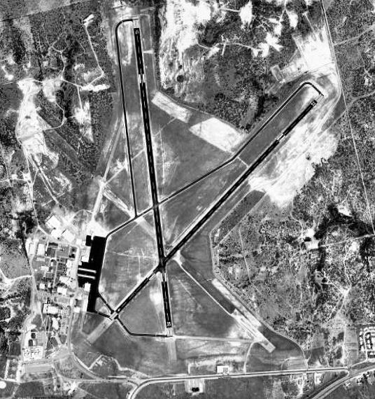
image-width =
caption =
IATA = KSWW
ICAO = Public
type = City of Sweetwater, Texas
owner =
operator = 2,380
city-served =
location =
elevation-f = 725.4
elevation-m =
coordinates = Coord|32|28|02.5067|N|100|27|59.6317|W|type:airport_region:US|display=inline,title
website =
metric-elev =
metric-rwy =
r1-number = 17/35
r1-length-f = 5,840
r1-length-m = 1,780
r1-surface = Asphalt
r2-number = 4/22
r2-length-f = 5,659
r2-length-m = 1,725
r2-surface = Asphalt
stat-year =
stat1-header =
stat1-data =
stat2-header =
stat2-data =
footnotes =Avenger Field Airport Airport codes|SWW|KSWW is a commercial airport located 3 miles W of
Sweetwater, Texas .It is owned and operated by the city of
Sweetwater, Texas .History
The airport was opened in August 1941 as Avenger Field and was used by the
United States Army Air Forces as a training base. It earned the distinction of being the largest all-female air base in American history.The Women's Airforce Service Pilots, or WASP as it was known, began training women pilots in November 1942 at Howard Hughes field in Houston. In February 1943 Avenger Field became an all-female installation except for a few male instructors and other officers.
Avenger Field remained a WASP training base until December 1944 when it closed, having fulfilled its mission. During its existence, 1,074 women pilots were trained at the facility including the thirty-seven that gave their lives in the service of their country.
At the end of the war the airfield was determined to be excess by the military and turned over to the local government for civil use.
See also
*
Texas World War II Army Airfields References
* [http://www.airnav.com/airport/KSWW AirNav.Com - Avenger Field Airport (KINK)]
* Thole, Lou (1999), Forgotten Fields of America : World War II Bases and Training, Then and Now - Vol. 2. Publisher: Pictorial Histories Pub, ISBN 1575100517External links
* [http://www.wingsacrossamerica.us/photo/avenger_field.htm Wartime photos of Avenger Field]
Wikimedia Foundation. 2010.