- Pecos Municipal Airport
Infobox Airport
name = Pecos Municipal Airport
nativename =
nativename-a =
nativename-r =
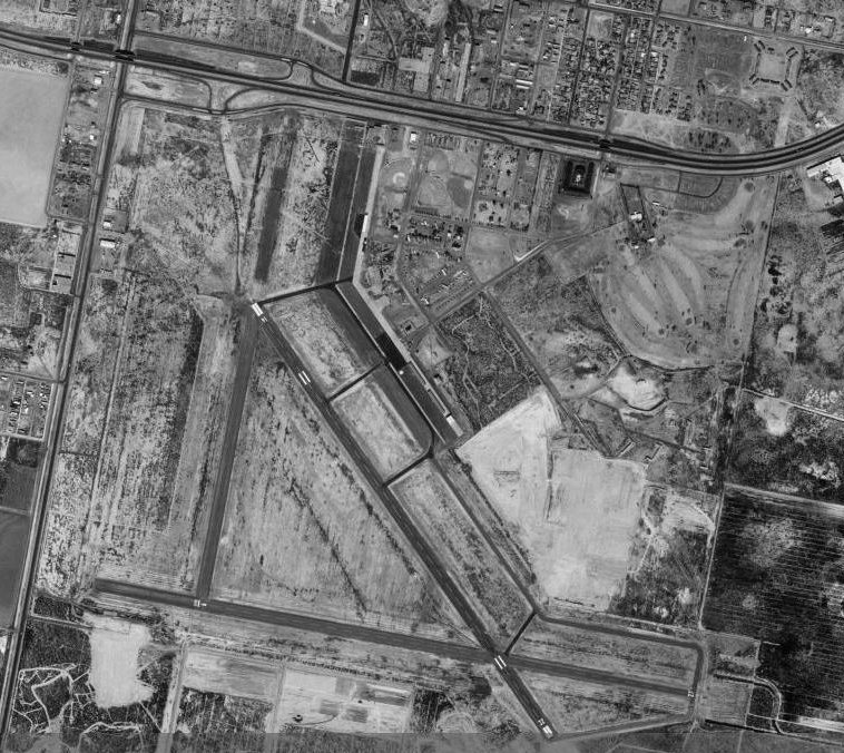
image-width =
caption =
IATA = PEQ
ICAO = KPEQ
type = City of Pecos, Texas
owner =
operator = 682
city-served =
location =
elevation-f = 207.9
elevation-m =
coordinates = Coord|31|22|56.60|N|103|30|38.60|W|type:airport_region:US|display=inline,title
website =
metric-elev =
metric-rwy =
r1-number = 14/32
r1-length-f = 6,237
r1-length-m = 1,901
r1-surface = Asphalt
r2-number = 927
r2-length-f = 5,954
r2-length-m = 1,815
r2-surface = Asphalt
stat-year =
stat1-header =
stat1-data =
stat2-header =
stat2-data =
footnotes =Pecos Municipal Airport Airport codes|PEQ|KPEQ is a general aviation airport located 2 miles SW of
Pecos, Texas .It is owned and operated by the city of
Pecos, Texas .History
The airport was opened in September 1938 as Pecos Airport. During
World War II the airport was used by theUnited States Army Air Forces as a training base (1942-1945) and became Pecos Army Airfield. At the end of the war the airfield was determined to be excess by the military and was returned the local government for civil use.See also
*
Texas World War II Army Airfields References
* [http://www.airnav.com/airport/KPEQ AirNav.Com - Pecos Municipal Airport (KPEQ)]
* Thole, Lou (1999), Forgotten Fields of America : World War II Bases and Training, Then and Now - Vol. 2. Publisher: Pictorial Histories Pub, ISBN 1575100517External links
Wikimedia Foundation. 2010.